We belong outside.
Our community's diverse local knowledge is unlocking the best spots to play, stay and explore.
What's new
Here's what's fresh from the community


Download the app
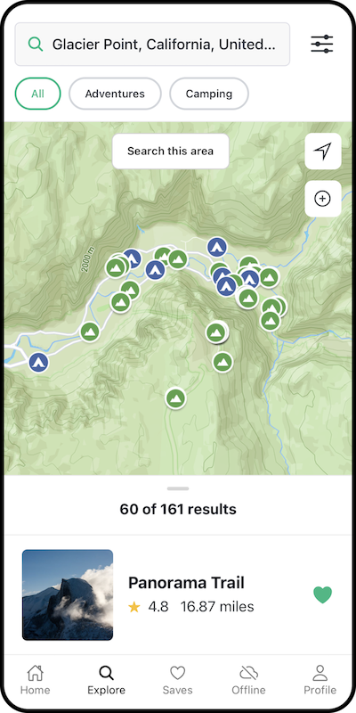
Discover 40,000+ incredible local adventures and 15,000+ of the best places to camp. Whether down the street or across the globe, we've got you covered.

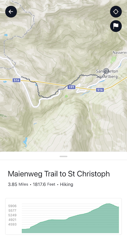
Discover all the fun stuff
Our community is sharing their favorite outdoor spots (and adding new ones!) all the time. We organize it all, add maps, a pinch of magic, and make it easier for you to find your next adventure.

Explore like a Pro
Subscribe to Outbound Pro to save road trip routes, download offline maps, navigate offline, enjoy an ad-free experience, and support a small team :)
Start Exploring
Whatever your flavor of adventure, we've got you covered


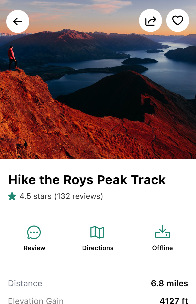
Popular spots
These adventures have that special something

The Narrows, Zion NP
Springdale, Utah Hot Springs")
Diamond Fork (Fifth Water) Hot Springs
Utah County, Utah
Havasu Falls in the Havasupai Reservation
Supai, Arizona
Oneonta Gorge
Cascade Locks, Oregon
Alamere Falls via Palomarin Trailhead
Bolinas, California
Latourell Falls Loop
Corbett, Oregon
Spade and Venus Lakes
Ronald, Washington
Angels Landing
Springdale, Utah
The Subway - Bottom Up
Virgin, Utah
McWay Falls
Big Sur, California
Sunrise Lakes to Clouds Rest
Mariposa County, California
Donut Falls
Salt Lake City, Utah
Multnomah Falls
Multnomah County, Oregon
Lands End Trail
San Francisco, California
White Pine Lake
Sandy, Utah
Our work wouldn't be possible without our partners.
We’re seeking to build meaningful, long-term relationships with key partners who share our vision for building a better future.
Our mission