›
California
California
About this place
California offers a diverse range of outdoor activities. The state boasts pristine coastlines, granite mountains, and expansive redwood forests. Travelers can explore the Alamere Falls, which empties directly into the Pacific Ocean, or visit McWay Falls in Big Sur, a prominent waterfall visible from Highway 1. For those interested in hiking, the Sunrise Lakes to Clouds Rest trail is a notable choice, while the Lands End Trail in San Francisco provides a scenic coastal walk. Whether you're looking to hike, camp, or simply enjoy the outdoors, California has something for everyone.
Top Chillin Spots in and near California, United States

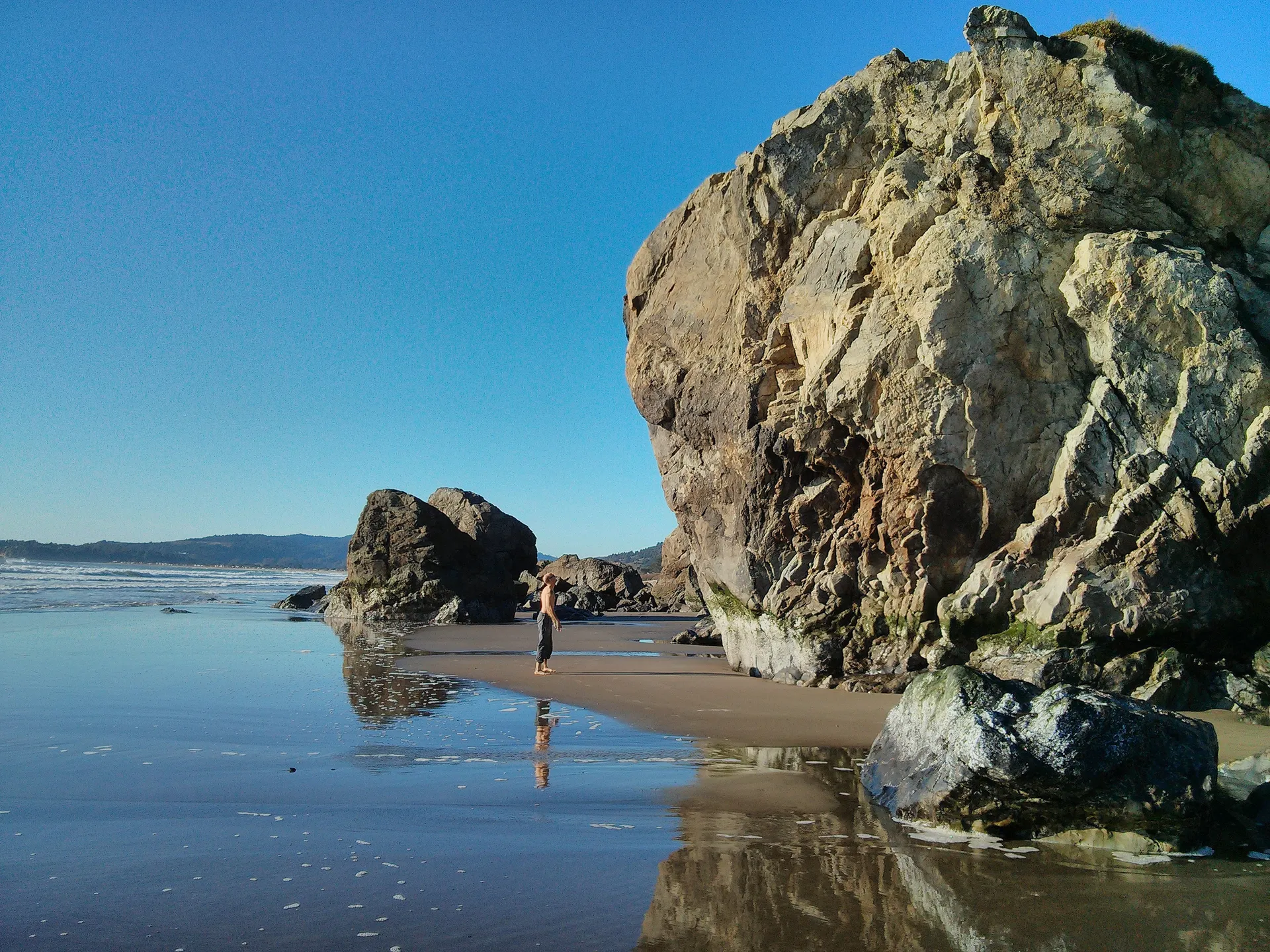
Stinson Beach, CA
4.5
· 3 reviews
Stinson offers up a great beach day with a few activities for everyone to enjoy. If you head toward the south end of the beach, you'll come across a few boulder problems, including the 2 most popular: Are You Experienced and The Old Man. Are You Experienced is the smaller of these 2 boulders, but of...

Colfax, CA
5.0
· 9 reviews
Best known as one of the most popular hiking and biking trails to the North Fork American River, in part because of the easy access from Colfax. However, this is a remote trail, and hikers are advised to bring plenty of fluids as well as carry a whistle. The entire trail is primarily shaded, passing...

Drakes Beach
5.0
· 2 reviews
Named after the famed explorer, Sir Francis Drake, Drakes Beach is part of the scenic Point Reyes National Seashore. If you're looking to spend a day and an evening at the beach, grab some snacks and some firewood and head out to Drakes Beach. Key things to remember with the bonfire: Build the fire ...

Tuolumne Grove of Giant Sequoias
4.3
· 7 reviews
The Tuolumne Grove of Giant Sequoias is one of three sequoia groves in Yosemite National Park. This particular grove has gorgeous forest scenery and provides great solitude compared to the crowded Yosemite Valley. The trail used to be an old road offering a wide path with a gradual descent, making i...

Davenport, CA
5.0
· 3 reviews
The ruins of Davenport Pier are located on Davenport Pier Beach, just north of Davenport on Highway 1, which is about 11 miles north of Santa Cruz. The pier was never completed and the support system for it was left on the beach, the first pillar arch has had a chain swing added to it and can be acc...

Fern Canyon
4.5
· 14 reviews
Fern Canyon is located within Gold Bluffs Beach at Prairie Creek Redwoods State Park located some 45 miles south of Crescent City, CA. Entrance to the beach area is located on Davidson Rd off the US-101 in Orick, CA. You will need to drive for about 6 miles on the dirt road at the turn of Davidson R...

3998-3904 Forest Route 5N13, CA
5.0
· 1 reviews
Note: This trail is temporarily closed. For more updates, please visit the Forest Service website for more updates. ...If you've read most of my blogs, you'll probably notice I have a fascination for waterfalls! I've done this hike multiple times, but it wasn't until this day where I saw these falls...

Desert Hot Springs, CA
5.0
· 1 reviews
This is a great place to watch the sunset, perched on the crest of the Little San Bernardino Mountains, provides panoramic views of the Coachella Valley and is well worth the 20-minute drive from Park Boulevard down Keys View Road. The views reach as far south as Salton Sea and on some clear days yo...

Rancho Palos Verdes, CA
Tucked away, at the base of Inspiration Point in Palos Verdes is an outcropping of rocks, perfect for surf casting and catching ocean fish, away from the crowds. It's a challenge to get there, but the less travelled spot is used by many professional sportsmen, practicing their skills at fishing from...

Brawley, CA
The North Algodones Dunes Wilderness System offers 200 square miles of open dune wilderness to explore. You can do as little or as much as you want in this vast open space. Take a short hike, take lots of pictures, or make it an overnight camping trip in the desert. The dunes are located north of St...

Ratner beach
4.5
· 2 reviews
Unlike most beaches in Los Angeles, this tiny little stretch of beach is usually empty, and is a little gem! It is the perfect place to get an unobstructed view of the sunset, and the sticks in the ground make for a picturesque sunset picture! Just be warned, this beach is right on PCH, so expect ca...

Saline Valley Hot Spring
5.0
· 1 reviews
Starting from Panamint Springs, you can top off your gas levels (Stovepipe Wells is cheaper), and continue west on the 190 until you hit the Saline Valley Alt Route. It begins as a well maintained dirt road, but worsens as you continue into the valley. Take your time down the 45 mile road and beware...

Mesquite Sand Dunes
4.9
· 12 reviews
The Mesquite Flat Sand Dunes are the most photographed dunes at Death Valley National Park. To reach the dune’s parking lot from Furnace Creek, drive 22 miles west on Highway 190. Three miles before you reach Stovepipe Wells, the dunes will be clearly visible from the road and you’ll turn right into...

Rose valley Campground
5.0
· 1 reviews
Close to Ventura and Ojai, California, this spot is an easy weekend getaway from the hectic coast of Ventura. Follow Highway 33 east toward Ojai. This road will lead into the Los Padres National Forest and become very curved and sleep as it gets closer to Rose Valley. The sign for the Park with be o...

Borrego Springs, CA
4.0
· 1 reviews
For all you desert lovers- this is a must. Or for all you SD residents that want to try something new and take a break from the populated trails within the county- spend a day in Anza Borrego and include this on your list. This state park is just a quick jaunt outside of the town of Julian. This mea...

Riverside County, CA
5.0
· 3 reviews
White Tank Campground is in the perfect spot to get a taste of all that Joshua Tree has to offer. As a central location to nearby hiking and climbing, it is easy to access the various parts of the park. Removed from the border of the park, White Tank doesn't attract as many visitors as the more popu...