California
Looking for the best chillin in California? We've got you covered with the top trails, trips, hiking, backpacking, camping and more around California. The detailed guides, photos, and reviews are all submitted by the Outbound community.
Top Chillin Spots in and near California
-
Truckee, California
Hike the Truckee Tunnels
5.0To get here, drive along Donner Pass Rd. There is a turnoff about 100 yards away from the Donner Summit Bridge where you can park. The hike begins at a plaque for the China Wall- a large retaining wall built by Chinese railroad workers. Hike up the trail towards the tunnels. Some spots may requi...Read more -
Death Valley, California
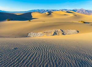
Photographing the Mesquite Flat Sand Dunes
4.9The Mesquite Flat Sand Dunes are the most photographed dunes at Death Valley National Park. To reach the dune’s parking lot from Furnace Creek, drive 22 miles west on Highway 190. Three miles before you reach Stovepipe Wells, the dunes will be clearly visible from the road and you’ll turn right i...Read more -
Carmel-by-the-Sea, California
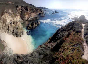
Secluded Beach Near Soberanes Point
5.00.2 mi / 40 ft gainWhen we stumbled upon this beach we were thrilled to have such great views with no crowds. There is plenty of room to lay out in the sun, you can swim in the ocean to cool off, and the beach is surrounded by beautiful landscape. If you decide to swim be very careful as the waves and currents ca...Read more -
Yosemite Valley, California
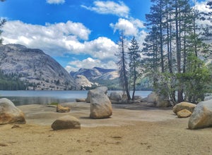
Tenaya Lake
4.63.08 mi / 0 ft gainTenaya Lake is located alongside Tioga Road in the park's Tuolumne Meadows region. There is a family-friendly trail that surrounds the lake. Though some spots along the trail on the western shore may require fording the waters, the 2.5-mile trip is an easy hike for all to enjoy. Many others pre...Read more -
San Diego, California
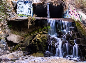
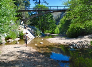
Explore Chambers Hidden Dam and Waterfall
3.20.5 miOnce you get off on Poway road, turn right onto Sabre Springs Parkway. Take your immediate left onto Creekbridge Road and park right there on the hill. Walk straight down towards the black gate and go down the hill. Turn right on the trail and walk down 1/4 mile to the dam, and another 500 yards ...Read more -
San Francisco, California
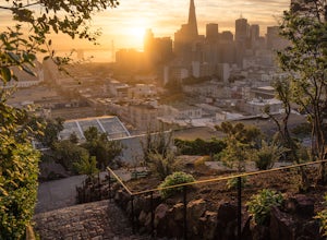
Catch a Sunrise at Ina Coolbrith Park
5.0This tucked away neighborhood gem is less than a square block in size, but offers some of the best views of San Francisco. After a quick, but steep, 5 minute walk, you'll be rewarded with incredible views of: the city skyline, Coit Tower, Alcatraz, and the Bay Bridge. There are a few benches avai...Read more -
San Bernardino County, California
Aztec Falls
3.31.23 mi / 16 ft gainFrom Lake Arrowhead, take the 173 to Hook Creek Road until you dead end onto Squint Ranch Road. Take a right at the first fork in the road, and park in the lot for Splinters Cabin. The dirt road can be a bit rocky and might not be the best for small cars. Once you're there, be sure to display you...Read more -
Half Moon Bay, California
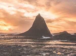
Watch the Sunset at Martin's Beach
4.5Martin's Beach is a beach about 7 miles south of Half Moon Bay. It features a large, very cool looking rock formation right off the coast. This beach is accessible via Martin's Beach Road, which is a small turn off on your right when southbound on Highway 1, though sometimes the road is only open...Read more -
San Diego County, California
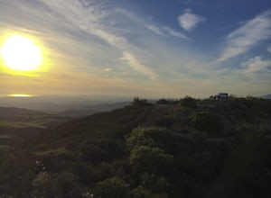
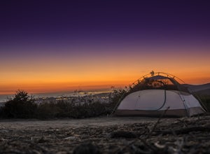
Camp On the Abandoned Santa Margarita Lookout Helipad
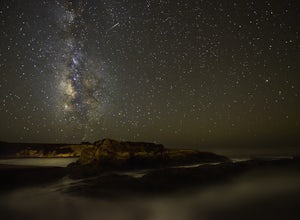
4.3Starting in Murrieta, CA you don't have to venture far to enjoy a beautiful view and less light polluted skies.From Murrieta on the I-15 freeway you're going to want to take the Clinton Kieth Road exit and head west. If you're low on gas make sure to fill up at the 7 Eleven on the left corner. Th...Read more -
San Bernardino County, California
Trona Pinnacles
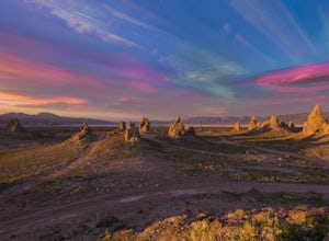
4.6The Trona Pinnacles in the California Desert National Conservation has a very unusual-looking landscape, which consists of hundreds of tufa spires reaching about 140 feet, all with varying shapes and sizes. From the drive-in to the drive-out, bone-chilling and awe-inspiring landscape as far as t...Read more -
Riverside County, California
Night Shoot at Arch Rock
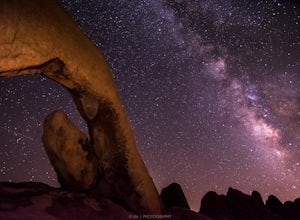
4.7If you're setting up camp, be sure to check out White Tank Campground, which is home to one of the most epic rock formations. The Arch is located here. It's only about 1/2 round trip of walking to this spot. Geology Tour Road offers some flat wide open views of Joshua Trees in all directions. If ...Read more -
Avalon, California
Camp at Parsons Landing
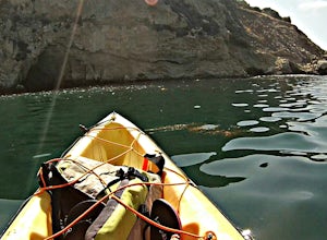
5.07 mi / 0 ft gainThe distance can vary depending on where you start. It is a 2.5 mile hike from Emerald Bay or 7 mile hike from Two Harbors or you can kayak in. There are 8 primitive campsites (6 people/ site) which means there is no running water, no supplies...you must pack in everything. The campsites are spre...Read more -
San Luis Obispo County, California
Camp at Montaña de Oro State Park
5.0Located about 7 miles south of Morrow Bay, follow Los Osos Valley Rd into the state park. Watch for the signs to park, as you will be cited after 10pm.The campground is located just across the road from the famous Spooner's cove, but there are any number of trails and hikes you can enjoy (check ...Read more -
Laguna Beach, California
El Moro Canyon Trail to Lower Moro Campground
3.56.37 mi / 997 ft gainLocated off of Pacific Coast Highway in Laguna Beach is Crystal Cove State Park. There are three primitive sites located in Crystal Cove: Deer Canyon, Upper Moro, and Lower Moro. The site I stayed at was Lower Moro campground. All three of these sites require the backpacker to hike everything in...Read more -
Orick, California
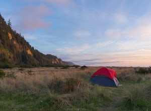
Camp at Gold Bluff Beach
5.0Located at Prairie Creek Redwoods State Park, the access road to this beach is a dirt road through the redwoods. Once you arrive to the beach area there is a park booth. The charge to overnight is $35 per day. Can also pay a day use fee which is less. The campground is situated some 200 yards fro...Read more -
Inyo County, California
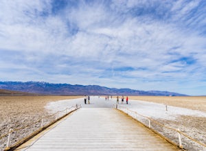
Badwater Basin's Salt Flats
4.61.92 mi / 43 ft gainTaking a walk on the salt flats at Badwater Basin is like no other experience in Death Valley National Park. These flats cover nearly 200 square miles across the park, which makes them one of the world’s largest protected salt flats. With an elevation of 282 feet below sea level, Badwater Basin i...Read more


