United States
United States
About this place
The variety of ecosystems and adventures in the United States is truly remarkable. Whether you're looking to hit the beach, the mountains, the desert, or jump in the car and road-trip it all, the USA has adventure for everyone.
Top Hiking Spots in and near United States

Mendocino, CA
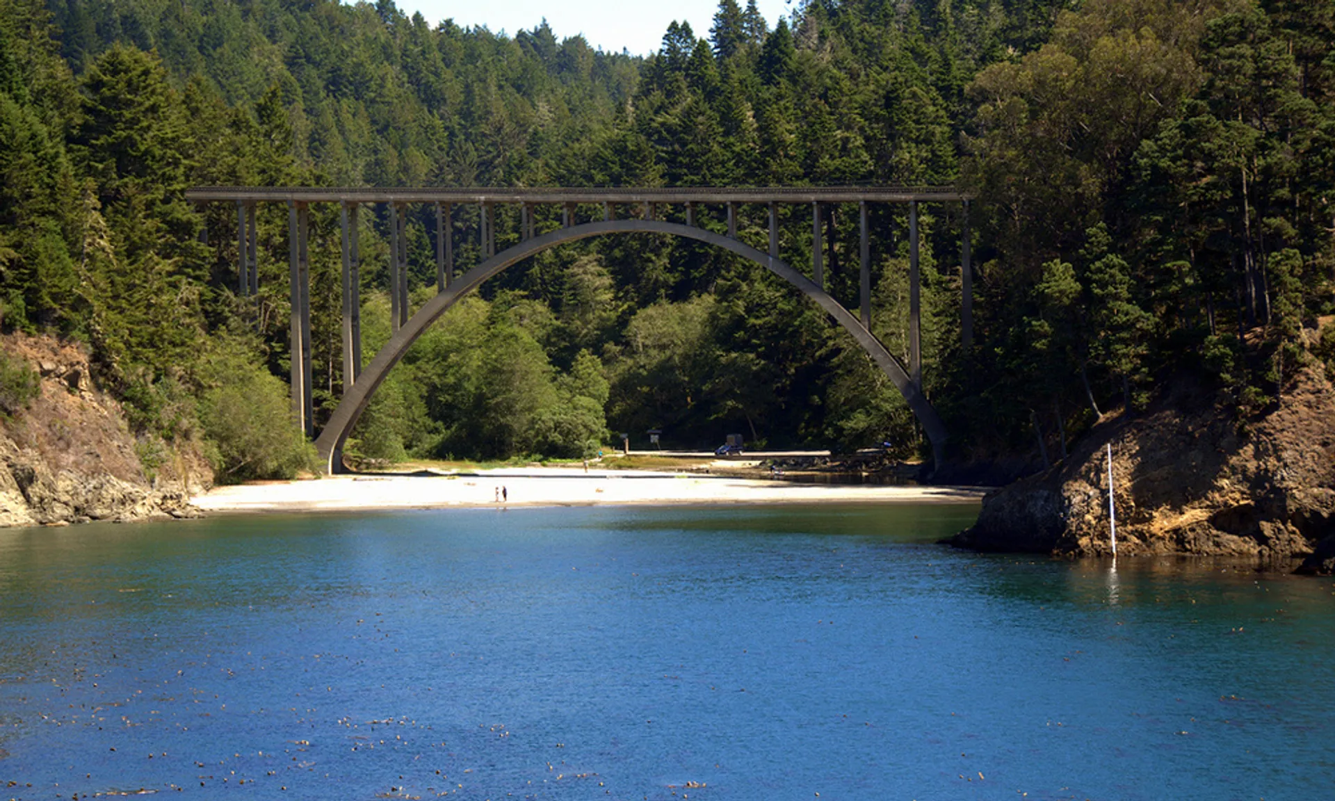
Just two miles north of Mendocino, you'll find this beautiful, well-maintained park that features a little bit of everything. The campsite is situated between a rugged beach and a stunning 36-ft waterfall, giving you plenty of easy and fun options. This park is most well known for the heavily forest...

Yosemite Falls Trail
5.0
· 1 reviews
Start on the Yosemite Falls trailhead and work your way up. Yosemite Falls can be anywhere from a huge flow to a slow trickle depending on the time of year. Hiking boots are absolutely necessary and hiking poles are a huge benefit. Say hello to rock climbers at the top as they finish their El Cap ro...

Carbonado, WA
The upper Foothills Trail from the Fairfax Bridge to Manley Moore can be hiked starting from either end as an "out and back" hike or a "point to point" by shuttling with two vehicles. Starting from the upper end of the trail you begin by walking under the Kolisch Rd. Bridge, which has the Manley Moo...

Moab, UT
The Slickrock Trail is well known in the mountain biking community and has put Moab on the map as one of the premier mountain biking destinations in the world. The good news for folks who don't mountain bike is that it's just as much fun to run or hike. It's a loop trail and very well marked with bi...

701 Truxell Road, OH
4.8
· 11 reviews
Drive and park in the area shown on the map. If you are in the parking lot near a big open field, you made it to the right place. There are two ways to take the trail from here, south or north. I suggest that you go North first (towards the shelter area). Follow this trail into the woods and it will...

Seattle, WA
There are 2 ways to get to Blake Island: private boat or via the Argosy Cruises tour boat (or if you're ambitious, I guess you can swim there!). If traveling by private boat, there is a marina with limited dock space as well as buoy moorings around the island for a moorage fee. Blake Island is a Sta...

Hanapepe, HI
5.0
· 2 reviews
A strenuous 7 mile hike, depending on which way you start, that takes you from the world renowned Kalalau Valley from Pu'u O Kila lookout, through dense mossy forests, across a stream, up to the highest swamp in the world and ends in views of Kaua'i's north shore of Wainiha valley and Hanalei Bay.

Duck Pass Trailhead
5.0
· 5 reviews
If you make your way to the Goldwater Campground there is plenty of parking. The trailhead you take leads to many lakes but the Duck Pass trailhead is the on you want to take. This is a easy trail to follow and walk with very little obstacles. You follow it along for around a mile and you won't miss...

Green River, UT
4.5
· 2 reviews
This beautiful, isolated hike also makes for a flexible route – very few places in Goblin Valley are off limits, allowing you to customize the adventure as much as you please. The hike begins on a rapidly descending trail, heading into the heart of Goblin Valley State Park. After a quarter mile of s...

Salt Lake City, UT
5.0
· 5 reviews
Lake Blanche is an extremely popular hike along the Wasatch Range in Utah. During the summer and fall months the lake, wildlife, flowers, and Sundial Peak as a backdrop offer spectacular views. Lake Blanche is one of the most beautiful and scenic lakes in Utah and turns into a winter wonderland once...

Washington 20
4.0
· 1 reviews
Diablo lake is the perfect place to camp if you're looking for solitude and natural beauty. It's northeast from Seattle in the North Cascades. Colonial Creek Campground has large camp sites right on the lake. It is first come first serve, however check out is at noon so arrive around 11:30 to snag a...

Ventura, CA
The 4.5-mile North Bluff Trail traverses the colossal cliffs of Santa Cruz Island in Channel Islands National Park from Scorpion Anchorage to Potato Harbor. Arrive via an Island Packers boat to Scorpion Anchorage and, upon disembarking, walk straight ahead. Just past the restrooms (one of only two o...

Durango, CO
5.0
· 3 reviews
From the Ice Lakes basin Trailhead, this 8 mile round trip trail with 3000 feet of elevation gain will bring you to the Ice Lakes Basin with an abundance of beautiful lakes, especially Island Lake and Ice Lake. We camped on a little shelf above Island Lake, but you can camp anywhere you find a nice ...

North Bend, WA
4.7
· 6 reviews
This hike gets crowded fairly quickly so get there early. The parking lot is very large so parking is not really a problem. There are bathrooms at the very beginning of the trail so I highly suggest using them. However at the top there is also a designated restroom area. Starting at 2600 ft, this hi...

Big Indian, NY
4.5
· 2 reviews
The trail starts across the street from the parking area you will see a sign. After a short walk in you will cross a foot bridge. At approximately 0.75 mile you will reach a junction. You will turn left toward Giant Ledge. The next half mile is fairly flat. At 1.5 miles you will reach a spur trail t...

Gardiner, NY
5.0
· 4 reviews
Want to walk on the edge? visit Millbrook Mountain in the Catskills of NY. This loops hike follows the mountains ridge line most of the way to the summit with multiple viewpoints and cliff ledges to walk out on. This hike is recommended those in the area. Park at West Trapps Parking Lot and head all...