Arizona
Looking for the best photography in Arizona? We've got you covered with the top trails, trips, hiking, backpacking, camping and more around Arizona. The detailed guides, photos, and reviews are all submitted by the Outbound community.
Top Photography Spots in and near Arizona
-
Apache County, Arizona
Hike the Thompson Trail
5.06 mi / 250 ft gainAs you travel down Forest Road 116, approximately 200 yards before the trailhead, you will see the remains of the old Thompson Cattle Ranch - hence, Thompson Trail #629. The trail begins atop an old railroad grade, a reminder of the very successful logging days that went on for many years. The r...Read more -
Payson, Arizona
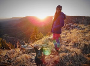
Mogollon Rim via Washington Park
4.04.32 mi / 1138 ft gainThis trail begins at the Washington Park Trailhead which meets up with passage #27 of the AZT. You begin traveling northbound as you ascend the great Mogollon Rim. The trail takes you through a gorgeous forest and rewards you with an awesome cliff side view at the summit. 2.25 miles into the tra...Read more -
Flagstaff, Arizona
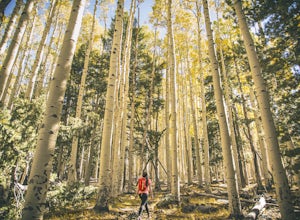
Abineau-Bear Jaw Loop
5.07.04 mi / 2031 ft gainThis trail is slightly more hidden on the northern slope of the San Francisco Peaks, but well worth the drive just outside of Flagstaff. Do it during the last week of September, when summer gives it’s last wave goodbye in a spectacle of electric yellow aspen groves. With the exception of occasion...Read more -
Tempe, Arizona
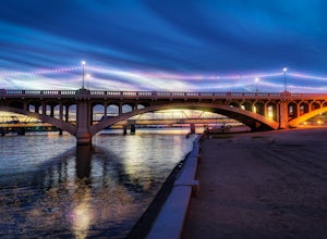
Catch a Sunset from Tempe Town Lake and the Mill Avenue Bridge
4.5Last year I went to Phoenix for a few days for work. I googled lots of places to shoot pictures around Phoenix, but the majority of them were in neighboring areas, and I only had an hour or two after work and couldn't drive an hour to a better photography spot. One place that kept coming up was...Read more -
Sedona, Arizona
Soldier's Pass Trail to Brins Mesa Trail
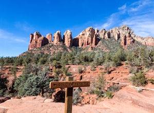
4.84.4 mi / 617 ft gainStarting at the trailhead is a parking lot for around 14 vehicles, arrive early in the morning if you want to be guaranteed a parking spot. Otherwise the hike starts off relatively easy with a quick stop at Devil's Kitchen; a big hole in the ground where a rock has now fallen in (see pictures). ...Read more -
Grand Canyon Village, Arizona
Hike South Kaibab Trail to Cedar Ridge
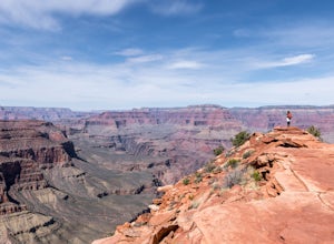
5.02.88 mi / 1158 ft gainTo access the trailhead, you must take a shuttle in. There is not parking next to the trailhead because the parking lot is very small. From the trailhead you cascade down several steep switchbacks and continue on until you reach Ooh Ah point. Ooh Ah point is a great place for a wide or panoramic ...Read more -
Oljato-Monument Valley, Arizona
Wildcat Trail in Monument Valley
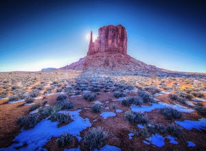
5.03.98 mi / 397 ft gainWhen facing The View from the parking lot, Wildcat Trail is off to the left where the campground is located. It's a 3.2 mile, self-guided loop that takes you around the West Mitten Butte. If you're hiking during the summer be sure to go early and bring a lot of water. You're fully exposed on t...Read more -
Page, Arizona
Hike Cathedral Canyon
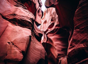
5.01 mi / 50 ft gainCathedral Canyon is located just south of Page, Arizona and west of Coppermine Road and is entirely on Navajo Land, so access is possible only by permission from a local or with a permit from one of the licensed tour companies, of which Chief Tsosi is currently the only one permitted to give perm...Read more -
Sedona, Arizona
Picnic at Banjo Bill
Nestled in Oak Creek Canyon, and throughout the Red Rock District are several picnic and day-use areas. Popular sites include; West Fork, Red Rock Crossing, Banjo Bill and Grasshopper, which provide unique hiking, creek side picnicking, swimming and fishing opportunities. All Oak Creek Canyon cam...Read more -
Sedona, Arizona
Dispersed Camping in Coconino National Forest (Edge of the World)
5.0This campsite is definitely out there. You'll take a dirt road into what seems to be a thick forest. Tell your GPS to put you on Woody Mountain Road in Flagstaff, AZ. Once you are on this road set your speedometer and follow this road for about 23 miles. Do not make any turns off of this road, th...Read more -
GRAND CANYON, Arizona
Capturing the Monsoons in Grand Canyon NP
5.0Being in the right place at the right time is the biggest challenge when attempting to photograph the monsoons at the Grand Canyon. Paying careful attention to the weather patterns throughout the day can help, but your best bet is to watch the clouds, pick a viewpoint, and take your chances. A fe...Read more -
Phoenix, Arizona
Hike the West Park Loop Trail in Papago Park
4.44 miThis trail begins from the parking lot on the west side of Galvin Parkway. To the east of the parking lot is a single track, dirt trail that heads north towards the big buttes. It continues counterclockwise around the big butte and heads south around the smaller butte. It continues west around th...Read more -
Sedona, Arizona
Hike to the Wilson Mountain Summit - South Overlook
4.59.5 mi / 2600 ft gainEver wanted to see Sedona from a bird’s eye view? Sure, you could spring for a helicopter tour. Or…you could hike Wilson Mountain Summit! No other location in Sedona will offer you a view that is so expansive and so breathtaking (and one where you are actually looking DOWN on the helicopters givi...Read more -
Apache Junction, Arizona
Monument Canyon and Broadway Cave
3.63.69 mi / 866 ft gain...Who doesn't enjoy a short adventure to an scenic location?! If I were to guess, I'd say a good majority of us. This four mile, low trafficked hike to the Broadway Cave will lead you to one of the best spots to hang out or watch the sunset. The Broadway trailhead is located by taking Highway 60...Read more -
Young, Arizona
Camping on Roosevelt Lake Overlook
5.0Stumbled upon this phenomenal spot while dual-sporting through the Sierra Ancha range.Turning off 188 the Globe-Young Highway winds down into a valley and crosses the Salt River before passing some small homesteads and farms. It then climbs into the foothills of the Sierra Ancha mountain range. A...Read more -
Coconino County, Arizona
Camp at Knoll Lake
5.0The Campground is seasonal and is located on the left just before the lake. There are 33 well-developed units that offer fire-rings, grills, drinking water and vault toilets. No reservations are accepted and you will need to check in with the camp host. From central Phoenix, take Loop 202 east to...Read more

