Arizona
Looking for the best photography in Arizona? We've got you covered with the top trails, trips, hiking, backpacking, camping and more around Arizona. The detailed guides, photos, and reviews are all submitted by the Outbound community.
Top Photography Spots in and near Arizona
-
Whiteriver, Arizona
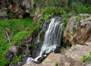
Pacheta Falls
5.02.37 mi / 187 ft gainPacheta Falls is spectacular and worth the several hour drive over washboard roads and you explore the high country of Arizona. You will be on the White Mountain Apache Reservation, so please take note: You need to purchase a Special Use PermitNo swimming allowed4x4 with additional clearance re...Read more -
Oak Creek Canyon, Arizona
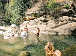
Swim in Oak Creek Canyon
5.0For this adventure you'll want to make your way to Oak Creek Canyon off highway 89 in Arizona. The GPS should get you there no problemo, my recommendation would be to look for a swimming hole upstream of Slide Rock State Park. Now this adventure is a little bit of a hunt, as you're driving the ca...Read more -
Littlefield, Arizona
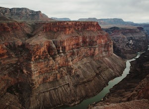
Explore the Toroweap Overlook
5.0Toroweap Overlook can be accessed via Country Road #109, 8 miles west of Fredonia, AZ. It's about a two hour drive along a dirt road, with the final stretch becoming much more technical over larger rocks (a truck with high clearance is recommended). Tuweep Campground is the only area you're allo...Read more -
Apache Junction, Arizona
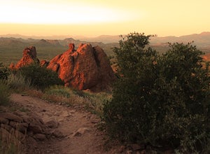
Treasure Loop Trail
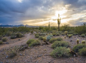
4.82.34 mi / 571 ft gainLocated about 40 miles east of Phoenix right off AZ-88 E/N Apache Trail. The initial trail begins at an elevation of 2000 feet within the Sonoran Desert. The trail can be accessed via the Cholla (northern side) Day-use Area or the Saguaro (southern) Day-use Area. Once you're on the trail you wil...Read more -
Flagstaff, Arizona
Hike and Camp at Arizona's A1 Mountain
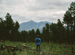
4.76.6 miles west of downtown Flagstaff off the I-40 West is the A1 Mountain Road. Continue over the cattle guards and enter into the A1 Mountain Area—perfect for hiking, camping, and trail running.The main road is well established for a dirt road, and many of the hiking trails branch off from it. T...Read more -
Scottsdale, Arizona
Gateway Loop
4.54.32 mi / 764 ft gainThe Gateway Trailhead is one access point into the McDowell Sonoran Conservancy in Scottsdale and is my favorite “Gateway” into the treasure trove of great trails and vistas in the McDowell Mountains. The Gateway Trailhead provides great accessibility for a quick hike or trail run at the end of t...Read more -
Willcox, Arizona
Camp at Chiricahua National Monument's Bonita Canyon
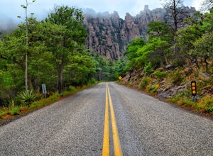
5.0Looking for an authentic hiking and camping weekend? Then the Bonita Canyon Campground in Chiricahua National Monument is your ticket. The Chiricahua National Monument is a uniquely beautiful place. There are wonderful hiking trails, some of the best in Arizona. The rock formations are the attrac...Read more -
Sedona, Arizona
Fay Canyon Arch
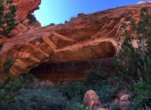
4.51.5 mi / 361 ft gain...The hike through Fay Canyon goes 1.25 miles to Box Canyon and is rated easy to moderate. To see Fay Canyon Arch though is a much shorter hike. From Boynton Pass Rd, park at Fay Canyon parking lot. The parking lot offers restrooms and a few picnic tables to relax at. The start of the trail is d...Read more -
North Rim, Arizona
Hike and Camp at Nankoweap Granaries
5.02 mi / 700 ft gainHiking to the Nankoweap Granaries can be done in a few ways but the two most popular routes is by boat along the Colorado River or the unmaintained Nankoweap trail, which is considered by most and the park services the most difficult named trail. Nankoweap Creek drains into the Colorado creating ...Read more -
Page, Arizona
Hike through Mountain Sheep Canyon
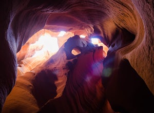
1.5 mi / 100 ft gainAs its name suggests, Mountain Sheep Canyon offers a rugged feel and more strenuous hike than the other slot canyons in the neighborhood (Antelope Canyon and Rattlesnake Canyon). The trek is longer than it is for the other canyons (about three-quarters of a mile), and there is quite a bit of scal...Read more -
Phoenix, Arizona
Hike Marcos de Niza Ridgeline / National Loop
5.02.8 mi / 640 ft gainThis is somewhat of a hidden gem in South Mountain Park, the largest municipal park in the United States, even though it's right there for all to see. The best way to take advantage of this trail is to attack the ridgeline with an intense hiking pace or trail run, connecting it to the National Tr...Read more -
Phoenix, Arizona
Hike Holbert Trail to Dobbins Lookout
4.04.1 mi / 1135 ft gainDobbins lookout is a popular high point in South Mountain Park that offers views of the entire Phoenix area. It's accessible by road or by trail with no entry fee. Consider going in the evening for the best views.If you plan to hike to the top, the shortest route is the Holbert trail. Take a l...Read more -
Phoenix, Arizona
North Mountain Trail
4.71.42 mi / 571 ft gainBeginning from the start of the trail on 7th Street, this short hike can be a good quick workout that offers great views of the greater Phoenix area. Be aware that this hike is a fairly steep climb 600 feet to the top. Once you reach the summit of North Mountain you'll find great views of the...Read more -
Apache Junction, Arizona
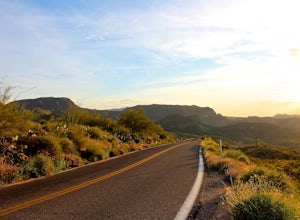
Drive Through The Apache Trail
4.8Its about a 40 minute drive to the beginning of the trail from Phoenix, and the trail itself is close to a two hour drive, if you don't plan on stopping along the way. The beginning of the trail really begins at the Superstition Mountains, you'll see a sign that says you are entering the Tonto Na...Read more -
Flagstaff, Arizona
Camp at Ashurst Lake
Ashurst Lake is South East of Flagstaff and not too far from Mormon Lake. It's an easy drive that any car can do. There is a a short section of well-maintained dirt road. Keep in mind the current fire regulations for the area as well as the lake's water level if you're panning to launch your boat...Read more -
Page, Arizona
Explore Canyon X
5.01 mi / 100 ft gainCanyon X is just a little further than Antelope if you are coming from page. If you want to avoid crowds and tour buses, check out the three incredible caves Canyon X has to offer. There is only one company that does Canyon X tours as it Native owned. You can make a reservation here. When you...Read more

