Arizona
Looking for the best photography in Arizona? We've got you covered with the top trails, trips, hiking, backpacking, camping and more around Arizona. The detailed guides, photos, and reviews are all submitted by the Outbound community.
Top Photography Spots in and near Arizona
-
Glendale, Arizona
Deem Hills Loop
3.55 miLocated in north Phoenix, the Deem Hills recreation area features a dog park, playground, soccer field, and trailhead leading into the neighboring hills. To begin your hike, get around the dog park by starting at the Circumference trailhead on the north side of the parking lot. To complete th...Read more -
Phoenix, Arizona
Freedom Trail Loop
5.03.8 mi / 1093 ft gainAs the third longest trail in the Phoenix Mountain Preserve, the Freedom Trail provides a great option for those looking for a longer hike, which can also be made even a bit longer by bolting on the Piestewa Summit hike along the way (adds 1.2 miles additional and a view from the top!). Many look...Read more -
Morristown, Arizona
Hike the Wild Burro Trail
4 mi / 112 ft gainHike along the shoreline of beautiful Lake Pleasant. This 4.0 mile out-and-back trail is worth its weight in beautiful views. The path is well maintained and perfect for beginner hikers who enjoy leisurely hikes while looking for wild burros. The Wild Burro trail starts with a small descent from ...Read more -
Apache Junction, Arizona
Hike the Dutchman's Second Canyon Loop
5.016 miTo get to the trail head, drive past Lost Dutchman State Park on the 88 and then take the dirt road (on your right) with arrows leading you to First Water Trail Head. There is an outhouse at the trailhead, so I suggest visiting it before you begin this hike. I also started this hike about an ho...Read more -
GRAND CANYON, Arizona
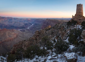
Photograph Desert View Watchtower
5.0Desert View Watchtower is a 70-foot high stone tower located on the South Rim of the Grand Canyon. Once you cross into the park through the east entrance look for the sign for Desert View, it's the first real lookout point in the park and there is plenty of parking.The tower was constructed in th...Read more -
North Rim, Arizona
Timp Point
Timp Point on the North Rim of the Grand Canyon lies just on the boundary of the National Park and within the Kaibab National Forest, well away from the (already smaller) crowds of the North Rim. Even in the heart of summer often you'll have a campsite on the rim all to yourself, with easy access...Read more -
Tucson, Arizona
Hike the Hugh Norris Trail, Saguaro National Park
4.09.5 mi / 2000 ft gainNamed for a Native American police chief, the Hugh Norris trail takes you from lush (by desert standards) Saguaro and cholla forests to the top of rugged Wasson Peak. On top of the peak, you'll have sweeping views of the city of Tucson, as well as the surrounding mountain ranges. Depending on y...Read more -
Yavapai County, Arizona
Verde Hot Springs
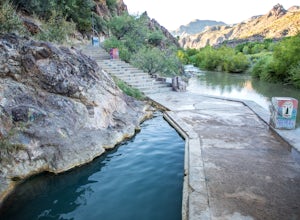
3.32.46 mi / 118 ft gainThe pools at the Verde Hot springs are the remnants from an old resort built in the 1920's. The resort was a once thriving tourist attraction and also rumored to be one of Al Capone's hideouts. In the 1960's a fire destroyed the resort only leaving behind the foundation and the thermal pools al...Read more -
Grand Canyon Village, Arizona
Backpack the Bright Angel Trailhead to Indian Garden Campground
4.08.98 mi / 3060 ft gainThe trail begins just outside of the Grand Canyon village at the Bright Angel Trailhead. The hike begins to descend immediately in continuous switchbacks. The trail can get very icy so shoe traction devices, while not necessary, are very useful. Along the trail there are rest houses at the 1/3 an...Read more -
Chambers, Arizona
Blue Forest Trail
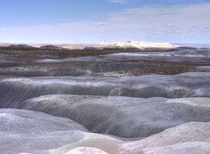
4.72.55 mi / 243 ft gainAlthough short, the Blue Forest Trail is one of the most unexpectedly coolest hikes I've been on. It's kind of strange to hike in what used to be a dense forest/swamp area that is now a barren desert full of petrified wood. Parking for this trail is just north of the Blue Mesa Loop in a pullout...Read more -
Willcox, Arizona
Big Loop in Chiricahua National Monument
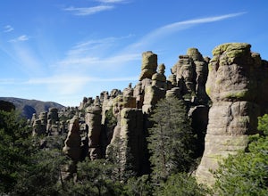
5.07.97 mi / 1562 ft gain27 million years ago, a large volcanic eruption in the Chiricahua Mountains left behind volcanic ash which eroded into the hoodoos and balancing rocks at Chiricahua National Monument aka The Wonderland of Rocks. The rock formations are very similar to Bryce National Park and the best part...you w...Read more -
Grand Canyon Village, Arizona
Photograph a Grand Canyon Sunset at the Desert View Watchtower
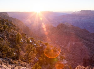
5.025 miles east of the Grand Canyon Visitor's Center is Desert View, here you will find the Desert View Watchtower and plenty of space to set up a tripod to photograph the sunset. Make sure to arrive early to get a good spot, even though this location is less trafficked compared to the Visitor's Ce...Read more -
Tucson, Arizona
Hike the Valley View Overlook Trail in Saguaro National Park
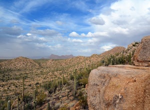
5.00.8 miThe Valley View Overlook Trail is located in the Tucson Mountain District (which west of Tucson) of Saguaro National Park. The access to this trail is about 3 miles north from the Red Hills Visitor Center. From the visitor center travel 1.5 miles north on N. Kinney Road, then take a right on Hoh...Read more -
Superior, Arizona
Hike Picketpost Mountain
4.74.4 mi / 2200 ft gainFrom the parking lot you will start out on the Arizona Trail until you reach the turn off to begin your accent up the mountain. This part of the trail isn't well maintained, and is a scramble, so be ready to use those hands. The trail is marked with cairns though and there is enough traffic tha...Read more -
Catalina Foothills, Arizona
Hike Blackette's Ridge
5.05.84 mi / 1500 ft gainStarting from the Sabino Canyon Recreation Area you'll want to follow signs for the Bear Canyon Trail. Don't worry about how busy it seems - most of the people you see are probably only going as far as the dam or picnic areas. There is a good chance that you'll have the top all to yourself especi...Read more -
Sedona, Arizona
Hike the Chimney Rock Loop, Sedona
2 mi / 400 ft gainThis loop hike starts at the Andante Trailhead at the end of Andante Road on the edge of Sedona. From the parking area, turn left (west) onto the Andante Trail and follow it for a short distance until the trail ends on the Thunder Mountain Trail. Turn left and follow the Thunder Mountain Trail un...Read more

