Arizona
Looking for the best photography in Arizona? We've got you covered with the top trails, trips, hiking, backpacking, camping and more around Arizona. The detailed guides, photos, and reviews are all submitted by the Outbound community.
Top Photography Spots in and near Arizona
-
Sells, Arizona
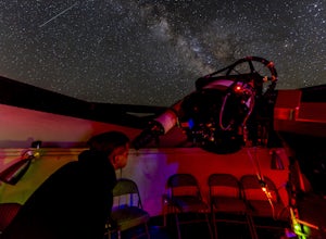
Visit the Kitt Peak National Observatory
5.00.5 mi / 100 ft gainKitt Peak National Observatory (KPNO) is home to the most diverse collection of astronomical observatories on Earth for nighttime optical and infrared astronomy and daytime study of our sun. With 26 telescopes on the premises and partnerships with world-leading institutions such as the Massachuse...Read more -
Tucson, Arizona
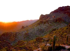
Catch The Sunset on Gates Pass
4.0Get on E Speedway Blvd, and follow it West until it turns into W Gates Pass rd. Follow this for 3 miles and the parking lot will be at the top of the pass. There are a few viewing platforms that offer shade from the desert heat. There are numerous trails that you can follow to get whatever view y...Read more -
Phoenix, Arizona
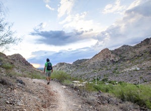
Mojave Trail #200
4.51.88 mi / 430 ft gainThe entrance for the Piestewa Peak area is located at 2701 E. Squaw Peak Drive. The Mojave Picnic Area & Trailhead is the first parking area on the right. This is a very popular trail when the outside temps drop a bit so get there early for sunset hikes to ease parking. The trail begins on t...Read more -
Flagstaff, Arizona
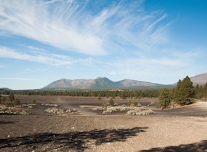
Camp in the Coconino National Forest
3.8The free camping in the Coconino (as well as the many other national forests) is generally along the old Fire Roads, and old Forest Service Roads. You can tell if a road is one of these by a brown sign with an FS 123 or any other number, FS meaning Forest Service Road. There are many of these roa...Read more -
Willow Beach, Arizona
Canoe Black Canyon on the Colorado River
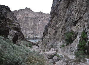
5.020 miThis 10-mile canoe trip starts at Willow Beach and reaches all the way to the Hoover Dam, giving you front row seats to beautiful canyon walls, waterfalls, hot springs, (sauna) caves, hiking trails, and much more. There are multiple campsites along the river but not all have pit toilets so bring ...Read more -
Sedona, Arizona
Climbing at Oak Creek Canyon
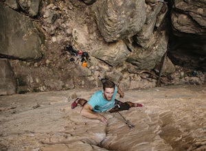
5.0Getting There About 18 miles south of Flagstaff on the 89A, turn into the Cave Springs parking lot and look for the trail just right of the first bridge. Hike up the chossy hill until you reach a giant sandstone slot canyon in the northwest. Climbing This canyon contained the crags, known as the ...Read more -
Grand Canyon Village, Arizona
Shoshone Point
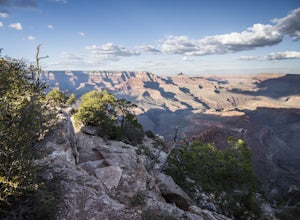
5.02.14 mi / 100 ft gainA two mile round trip and relatively fast hike, Shoshone Point lies only about a mile from the parking lot and is an easy hike along a dirt road to a stunning vista. The trailhead is on Desert View Dr (Highway 64) about 3.5 miles east of the junction of highways 180 and 64. Look for the trail on ...Read more -
Gold Canyon, Arizona
Catch a Sunset at Three Sisters
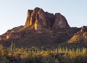
5.0Three Sisters is a huge rock formation in the southern area of the Superstition Mountains. This spot is only about an hour outside of Phoenix and it's a great spot to do photography in the evening or morning.This is accessed from the Wave Cave parking lot on the way to the nearby Peralta Trailhe...Read more -
North Rim, Arizona
Hike Point Imperial Trail
5.38 miPoint Imperial is the highest point in the Grand Canyon, lying in the North Rim, at 8800ft and offering incredible views of staggered mountains. The trail itself is relatively easy. If you're not acclimated to the elevation you'll feel short of breath, but beyond that it mostly takes you through...Read more -
Grand Canyon Village, Arizona
Cremation Canyon via South Kaibab Trailhead
10.43 mi / 3973 ft gainThe Grand Canyon is over 277 miles long and is full of unique geological formations in all sorts of colors. One of the most striking aspects of the Grand Canyon is its immense scale and the dynamic landscapes it has to offer. There's something about it that makes it extremely difficult to fully c...Read more -
Grand Canyon Village, Arizona
Photograph a Sunset from the North Rim Lodge
0.5 miI've read that only approximately 10% of Grand Canyon National Park visitors spend time at the North Rim, meaning the crowds are smaller in the most beautiful areas you can immerse yourself in without having to backpack to the bottom.This isn't so much of an adventure as it is the perfect way to ...Read more -
Sedona, Arizona
Hike the Cockscomb Trail
1.5 mi / 330 ft gainThis is a wonderful less traveled trail that is fairly easy hiking, at least until you reach the base of the Cockscomb. It does not have much shade. I recommend hiking this trail late afternoon into sunset as the trail weaves between Doe Mountain and the Cockscomb on the west side. The setting su...Read more -
Maricopa County, Arizona
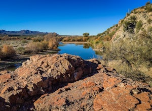
Hike the Goldfield Ovens Loop
7.5 mi / 575 ft gainA Tonto Day Pass is required for this hike as you will park your vehicle at the Blue Point Picnic Area. The trail starts North of the restrooms which are located at the backside of the parking lot. The trail takes you through a mesquite filled area alongside large rock faces. Be sure too look for...Read more -
Marble Canyon, Arizona
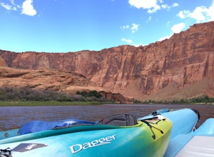
Kayak Glen Canyon
Starting at Lee's Ferry, you meet with a boat that will back haul you up the river close to Glen Canyon Dam for approximately $150/2 people, plus your gear. There is an overnight parking lot available. The river is swift in some spots where it would be quite challenging to paddle up the river you...Read more -
Cave Creek, Arizona
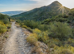
Hike the Go John Trail
5.05.6 mi / 804 ft gainAs you park at the trailhead, you have the option to take this trail in either direction. I recommend that you travel north, which will immediately provide 0.75 miles of elevation gain. You will then reach a pass with panoramic views of the Tonto National Forest. A bench in this area provides the...Read more -
Winslow, Arizona
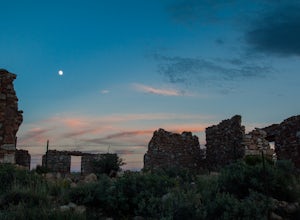
Ruins of Two Guns
These old ruins on the side of old route 66 in the town of Two Guns Arizona. The ruins themselves are very photogenic and worth a stop at. Be careful of snakes and the structural dangers of old ruins. This is a fun stop along the side of the highway to take photographs and watch the sunset.Read more

