Mackay, Idaho
Looking for the best hiking in Mackay? We've got you covered with the top trails, trips, hiking, backpacking, camping and more around Mackay. The detailed guides, photos, and reviews are all submitted by the Outbound community.
Top Hiking Spots in and near Mackay
-
Mackay, Idaho
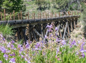
Hike to the Shay Trestle
2 mi / 200 ft gainMine Hill Tour is a self-guided driving tour focused on Mackay's mining history. Stops showcase artifacts of the once-vibrant towns that housed miners and their families.Much of the tour is available to passenger vehicles. Begin by picking up a Mine Hill Tour map from any local merchant in Mackay...Read more -
Mackay, Idaho
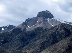
Hike Mount McCaleb
4 mi / 3500 ft gainMt. McCaleb's beautiful south face towers over the little town of Mackay, Idaho. The domineering peak is seen from US-93 just waiting to be climbed. It's a part of the Lost River Range, which boasts seven of Idaho's nine 12K-foot peaks; at 11,682 feet tall, McCaleb is Idaho's 34th highest peak.Th...Read more -
Mackay, Idaho
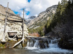
Hike to Lower Cedar Springs
4.53.4 mi / 200 ft gainThis is one of the easiest, yet scenically rewarding, hikes in the Lost River Range. Traveling only 1.2 miles (3.4 miles round trip) with an elevation gain of about 200 ft. You travel in a canyon surrounded by some of the highest mountains in Idaho. Mt. McCaleb is the giant 11,682 ft peak on the ...Read more -
Mackay, Idaho
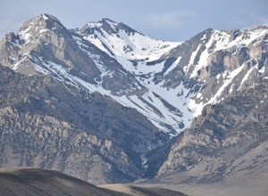
Climb Mt. Breitenbach
8 mi / 4600 ft gainDirections to the "trailhead": From Mackay, Idaho take Highway 93, approximately 2 miles past Mackay reservoir, turn right on Upper Cedar Creek road (FS rd 127). Follow this road straight toward the mountains. There will be a number of cattle gates to go through. About 3 miles up, the road crosse...Read more -
Mackay, Idaho
Hike to Bear Creek Lake
5.06 mi / 1600 ft gainThe trailhead starts at the end of an old jeep trail. If you are brave with your 4 wheel drive you can drive to here and cut 1.4 miles off your hike. My mile counting started at the trail head. The trail is very well marked. At about 0.3 miles it crosses Bear Creek. In the summer this will often ...Read more -
Mackay, Idaho
Climb Mount Borah
4.87.5 mi / 5200 ft gainRising high above the sage brush covered landscape, Mount Borah is the tallest mountain in Idaho and is referred to as the "roof of Idaho." This behemoth is part of the Lost River Range in the central part of the state. The strongest earthquake in Idaho occurred along the fault line in 1983 and r...Read more -
Mackay, Idaho
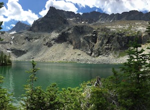
Backpack through Surprise Valley to Lake 10148
4.013 mi / 2900 ft gainI have a hard time getting the word "legendary" out of my mind when referencing this hike. I liked it that much. The trailhead begins at 7200'; be prepared to drive 20 miles on a maintained gravel road to get there. The first 3 miles of this out-and-back hike are pretty flat, meandering through ...Read more -
Hailey, Idaho
Hike to Johnstone Pass
5.05.4 mi / 2200 ft gainJohnstone Pass is a diamond in a valley flush with hidden gems.Turn east onto East Fork Big Wood River Road from Highway 75. Continue through the defunct mining town of Triumph where the road turns to dirt and becomes Forest Service Road 118. At the fork stay right. Pass the Sawmill and Federal G...Read more -
Mackay, Idaho
Hike to Kane Lake
4.76.8 mi / 1717 ft gainThis hike into the Pioneer Mountain Range starts out in a small meadow near Kane Creek, which you will follow for nearly the whole hike. Once you hit the forested area the uphill climb begins and doesn't stop until you get to the lake. About half way up the trail will begin taking you through roc...Read more -
Mackay, Idaho
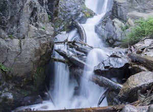
Hike to Big Fall Creek Falls
0.5 mi / 200 ft gainAccess the trailhead for Big Fall Creek Falls via Trail Creek Road. From Sun Valley the road is typically passable for sedans but is prone to producing flat tires. The parking area doubles as dispersed, free camping.Start the hike by crossing the creek on the log bridge. With the creek on your ri...Read more -
Arco, Idaho
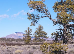
Bike the Loop Road at Craters of the Moon National Monument
7 mi / 500 ft gainBiking Crater of the Moon National Monument's seven mile loop road provides an intimate experience through a wild landscape.Park at the Visitor's Center. Grab a map and check out the interactive display explaining how Craters of the Moon was formed in the same tectonic event that birthed Yellowst...Read more -
Arco, Idaho
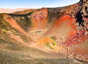
Hike the North Crater Trail
4.03.5 mi / 666 ft gainOne of the longest hikes at Craters (none of them are very long), the North Crater trail boasts a view of beautiful red and orange rock along the ridgeline of some massive volcanic craters. You can start the trail from either end—at the campground parking lot near the entrance to the park or at t...Read more -
Arco, Idaho
Stroll Through Devil's Orchard
3.00.5 mi / 3 ft gainThe Devil's Orchard is a quick, family friendly stroll through unique volcanic scenery. If you follow the road past the entrance to Craters of the Moon National Monument, the road to Devil's Orchard will be on your left, marked by a sign. You'll drive a minute or two before reaching the parking l...Read more -
Hailey, Idaho
Hyndman Peak
4.512.18 mi / 4711 ft gainAt 12,009 feet, Hyndman Peak is the ninth highest peak in Idaho and the tallest peak in the Pioneer Mountains. The hike to Hyndman Peak will take you up 5,000 feet in elevation over six miles. Once you've made it to the top, you can take in one of the most stunning 360-degree views of other Idaho...Read more -
Hailey, Idaho
Pioneer Yurt via Hyndman Creek Trail
6.91 mi / 1650 ft gainThis trek starts about 25 minutes from Ketchum, Idaho at the Hyndman Creek Trailhead. As a general rule of thumb, Sun Valley is a great place to be in the fall, and this adventure is no different. The hike itself follows the beautiful Hyndman Creek and is only about 3.5 miles, but the daunting st...Read more -
Arco, Idaho
Hike the Inferno Cone
4.01 mi / 500 ft gainTo reach the parking lot at the Inferno Cone Trailhead enter the Craters of the Moon National Monument at the main entrance on the north side of the park off US Highway 26 and go approximately 1.5 miles on the 17 miles Loop Road. There will be clear signage indicating the parking lot at the base ...Read more
Top Activities
Visit Idaho
Idaho is a picturesque state filled with beautiful scenery and warm, wonderful people. It's an ideal destination for family travelers, outdoor enthusiasts, adventure seekers, or those just looking for a relaxing getaway.
Learn More

