Carrollton, Georgia
Top Spots in and near Carrollton
-
Carrollton, Georgia
Carrollton Greenbelt
16.99 mi / 2171.92 ft gain
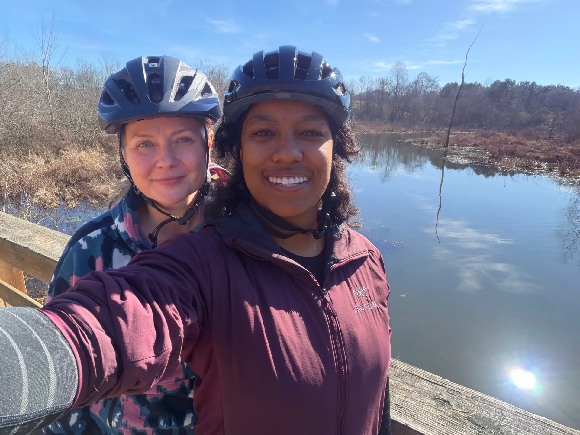
Trail Overview Distance: 17 miles loop Elevation Gain: 2,172 feet Difficulty: Easy to Moderate (steep sections 8-12% around Lake Carroll) Surface: Paved asphalt, 10+ feet wide with yellow centerline Time: 5-6 hours full loop Dogs: Allowed on leash (off-leash in some areas) Fees: Free Best...Read more -
Rockmart, Georgia
Silver Comet Trail: Coots Lake to Rockmart
60.76 mi / 1594 ft gainThe Silver Comet Trail is one of Georgia’s premier multi-use greenways, stretching approximately 61 miles from Smyrna to the Alabama state line. While every section has its charm, the segment from Coots Lake to Rockmart stands out as one of the most scenic and rewarding portions of the trail — ...Read more -
Lithia Springs, Georgia
Kayak George H. Sparks Reservoir
Sweetwater Creek State Park has a lot to offer in terms of adventure. One of the best things about this park is its proximity to the city of Atlanta. It is incredible how easy it is to feel like you are hours away from the city, even though Sweetwater is only several miles west of the city. It mi...Read more -
Lithia Springs, Georgia
Sweetwater Creek White Loop
4.54.87 mi / 371 ft gainSweetwater Creek State Park offers a breath of fresh air and beautiful sights only 15 miles from Atlanta. The park has 9 miles of trails to choose from. The shortest of the three trails is the Red Trail (1 mile, one-way). After a half mile you will arrive at the impressive 5 story New Manchester ...Read more -
Lithia Springs, Georgia
Sweetwater Creek Red Trail
4.81.48 mi / 46 ft gainSweetwater Creek State Park lies just about 20 minutes West of Downtown Atlanta. An easy drive along I-20 from the large city makes this park a very popular destination, especially on the weekends. Out of the parks three main trails, the Red Trail is by far my favorite. Scenic river views and ...Read more -
Atlanta, Georgia
Cascade Springs Trail
5.01.78 mi / 187 ft gainA quick and local getaway from the hustle and bustle of Atlanta city life, Cascade Springs Nature Preserve offers over 100 acres of forested trails that lead to Utoy Creek and Cascade Falls. The trail starts at the parking area and leads to a boardwalk where old historical structures stand along...Read more -
East Point, Georgia
Connally Nature Preserve
0.27 mi / 66.97 ft gainWalk amongst some of the oldest trees in Atlanta in this scenic nature preserve located in the heart of East Point. This is a great spot for birding with some sightings including Downy Woodpecker, Hairy Woodpecker, Golden-crowned Kinglet, Ruby-crowned Kinglet, Brown Creeper, Yellow-rumped Warbler...Read more -
Marietta, Georgia
Hike to Noses Creek
3.52 miStarting at the Burnt Hickory Parking lot on Kennesaw National Battlefield, you head south on a pretty flat trail. After a mile and a half you will come across a bridge that goes over Noses Creek. If you're looking to cover more ground, the trails around the creek expand for miles in any directio...Read more -
Marietta, Georgia
Hike the Battlefield and Mountain Loop
5.010.24 mi / 1355 ft gainFrom the visitor center, start on the Kenneshaw Mountain Trail, which takes you up a series of switchbacks to the summit of Kennesaw Mountain (600' elevation gain). Take in the views of Atlanta from the top, then continue on the trail as it descends, then starts up Little Kennesaw Mountain. At 2...Read more -
Euharlee, Georgia
Paddle the Lower Etowah (Euharlee Road to 411)
The nine mile stretch of river between Euharlee Road and 411 provides a beautiful getaway near Cartersville. As it sits downstream of Allatoona Lake, this is considered the Lower Etowah, and the temperament of the current depends largely on whether or not the Corps is releasing water upstream fro...Read more -
Cartersville, Georgia
Etowah Indian Mounds Interpretive and River Walk Trails
4.51.08 mi / 105 ft gainEtowah Indian Mounds Interpretive and River Walk Trails is a loop trail that takes you by a river located near Cartersville, Georgia.Read more -
Atlanta, Georgia
East Palisades Trail
4.64.18 mi / 620 ft gainThe East Palisades trail is one of the only real hiking trails within Atlanta's perimeter. Although it boasts surprising beauty and great trails, relatively few people in the city are aware this trail even exists. As part of the Chattahoochee National Recreation Area, this section of forest is ...Read more -
Lake City, Georgia
Reynolds Nature Preserve Trail
5.01.63 mi / 171 ft gainReynolds Nature Preserve Trail is a loop trail that takes you by a lake located near Morrow, Georgia.Read more -
Atlanta, Georgia
Sweet Auburn District Walking Tour
5.02.04 mi / 69 ft gainSweet Auburn District Walking Tour is an out-and-back trail that is good for all skill levels located near Atlanta, Georgia.Read more -
Marietta, Georgia
Cochran Shoals Trail from Interstate North Trailhead
5.0Cochran Shoals Trail from Interstate North Trailhead is a loop trail that takes you by a river located near Atlanta, Georgia.Read more -
Delta, Alabama
McDill Point via Cheaha Trailhead
4.66.78 mi / 1024 ft gainStart hiking at Cheaha Trailhead, located at the far end of a parking area just before you get to Cheaha State Park on Highway 281. Follow the Cave Creek Trail until you reach the Pinhoti connector, and hang a right to take the Pinhoti Trail northbound. Look for a sign that points to McDill overl...Read more