Details
Features
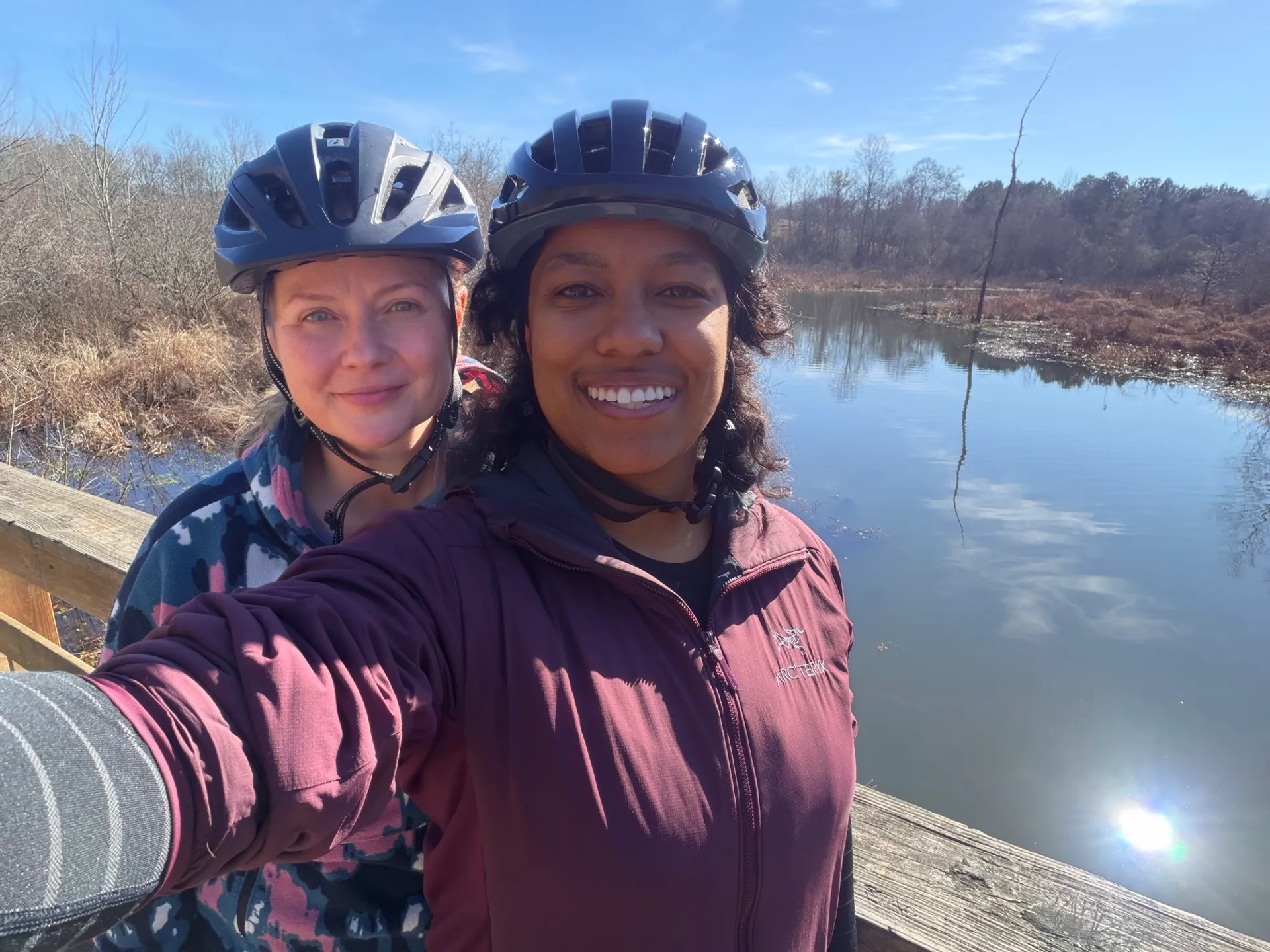
About this place
Complete guide to the Carrollton Greenbelt, Georgia's largest paved loop. 17 miles with Lake Carroll views, free parking, year-round access.
Trail Overview
Distance: 17 miles loop
Elevation Gain: 2,172 feet
Difficulty: Easy to Moderate (steep sections 8-12% around Lake Carroll)
Surface: Paved asphalt, 10+ feet wide with yellow centerline
Time: 5-6 hours full loop
Dogs: Allowed on leash (off-leash in some areas)
Fees: Free
Best Season: Year-round
What Makes This Trail Special
Georgia's largest paved loop trail system, completed in 2017, completely encircles Carrollton. The variety is remarkable: woodlands and pastures with grazing cattle, 160-acre Lake Carroll shoreline, bridges over creeks, a waterfall, then seamless transitions into urban sections connecting University of West Georgia, schools, and shopping. Despite never leaving city limits, much feels decidedly rural. The winding path follows natural terrain contours rather than straight lines, making the journey as engaging as destinations.
Key Trailheads & Parking
All trailheads free parking.
Hobbs Farm Park (Recommended Scenic Start) 500 Believers Way | Restrooms, water, picnic facilities | 0.7-mi farm loop | Beaver activity near Little Tallapoosa River
Laura's Park at Hays Mill 480 Hays Mill Road | Restrooms, water, picnic facilities | Common starting point
East Carrollton Park 410 North Lake Drive | Restrooms, ball fields | 3 accessible spaces | Lake Carroll eastern shore
Lakeshore Park North Lake Drive | Lake Carroll access, boat ramp
Castle Playground, Visitors Bureau Trailhead Additional access points with varying amenities
Trail Highlights (Clockwise from Hobbs Farm)
Miles 0-3: Hobbs Farm to Lake Carroll Farm loop features beaver activity. Trail passes beneath railroad bridge over Little Tallapoosa River, curves through woodlands/pastures, reaches 160-acre Lake Carroll (fishing and swimming allowed).
Miles 3-6: Lake Carroll & East Carrollton Best lake views. Signature elevation changes intensify—rolling hills with 8-12% grades. Wheelchair users may need assistance in steep sections.
Miles 6-10: Southeast & Richards Lake Buffalo Creek Outdoor Education Center (mile 8): bird sanctuary, demonstration gardens. Causeway crosses Richards Lake arm. Turtles bask in spring/summer. Transitions to light industrial/shopping.
Miles 10-14: Urban Section & University University of West Georgia campus. More urban with road crossings. Some intersections poorly marked—use GPS. Wide trail handles heavy pedestrian traffic.
Miles 14-17: Northern Return Carrollton City Schools campus, then Buffalo Creek waterfall—small but charming. Dairy cows graze in pastures. Final miles return to start.
Trail Surface & Accessibility
Smooth paved asphalt with yellow centerline. 10+ feet wide. Well-maintained. Accommodates recumbent bikes.
Accessible sections: First ~0.8 mi from East Carrollton Park, final ~1.5 mi, Laura's Park area (mostly 5% or less grades). Miles 0.8-15.5 have many steep sections (8-12%). Designated accessible parking at major trailheads.
What to Bring
- Water (fountains at trailheads only)
- Snacks for full loop
- Bike repair kit if cycling
- Sunscreen (some sections exposed)
- GPS/downloaded map (signage spotty at some intersections)
Restrooms/water at Hobbs Farm, Laura's Park, East Carrollton Park.
Trail Marking
Main loop excellently marked with long-spaced yellow centerlines. Spur trails have shorter-spaced lines. Some major road crossings lack directional arrows—trail continues but not always obvious. GPS recommended for first-timers.
Who This Trail Is For
Cyclists: Smooth pavement ideal for road bikes, recumbent bikes, e-bikes. Elevation provides workout without being punishing.
Runners: 17-mi loop perfect for marathon training. Rolling terrain builds strength.
Walkers: Full loop ambitious (5-6 hours), but designed for shorter out-and-backs. Hobbs Farm to Lake Carroll and back (~6 mi) popular.
Families: Wide, safe for young cyclists. Multiple access points. Lake views, waterfalls, farm animals engage kids.
Commuters: Locals use sections to reach University, schools, shopping car-free.
Best Times & Tips
Time: Early morning (6-9 AM) sees runners/commuters. Midday quieter except university during school. Evenings popular families. Weekends busier but manageable.
Season: Year-round. Spring (March-May) wildflowers, 60-75°F. Summer (June-Aug) hot/humid 85-95°F, tree cover helps. Fall (Sept-Nov) ideal 65-75°F, beautiful foliage. Winter (Dec-Feb) mild 45-60°F, fewer crowds.
Direction: Clockwise from Hobbs Farm frontloads scenic sections. Counterclockwise from Laura's Park hits waterfall early.
Crowds: Ball fields at East Carrollton busy during youth sports—expect congestion.
Unique Features
- Lake Carroll: 160 acres, fishing/swimming, ~3 mi shoreline trail, waterfowl
- Buffalo Creek Waterfall: Small cascade near schools, peaceful
- Little Tallapoosa River: Railroad bridge crossing, beaver lodges
- Pastoral Scenes: Dairy cows, horses grazing adjacent to trail
- Bridges: Numerous crossings over creeks/wetlands
- University Connection: Direct UWG campus access
Brief Wellness Benefits
Thoughtful urban planning creates daily nature access for entire communities. Connecting neighborhoods, schools, and workplaces removes barriers—residents incorporate trail time into commutes rather than needing dedicated exercise trips. 17-mi loop challenges athletes while shorter sections accommodate families and beginners. Rolling terrain builds cardiovascular fitness more effectively than flat paths. Lake views and pastoral scenes provide mental respite, all free and close to home.
Nearby Attractions
- John Tanner Park (15 min): lake, beach, camping
- McIntosh Reserve Park (20 min): trails, covered bridge
- Historic Downtown Carrollton (5-10 min): restaurants, shops
- University of West Georgia (on trail)
- Southeastern Quilt and Textile Museum (downtown)
Contact
Carrollton Parks & Recreation: carrolltonparksandrec.com Friends of Carrollton GreenBelt: Community trail support group PATH Foundation: pathfoundation.org/carrollton-greenbelt