Sedona, Arizona
Top Spots in and near Sedona
-
Sedona, Arizona
Hike the Boynton Canyon Trail
5.06 miThis is my favorite trail in all of Sedona. The trail head is at the end of Boynton Canyon rd near the entrance of Enchanted Spa and Resort. The trail goes along the property of Enchanted Spa for about 1 mile. This is the rockiest part of the trail as you pass by a large cliff.Soon after leaving ...Read more -
Sedona, Arizona
Fay Canyon Trail
3.82.56 mi / 666 ft gainLocated on the outskirts of Sedona's main attractions, Fay Canyon is a hidden gem. The Fay Canyon Trail is an easy, scenic hike that takes you through this lesser-known Sedona canyon. You won't see majestic open views like those of Bell Rock, but you will find gorgeous views, without the crowds. ...Read more -
Sedona, Arizona
Fay Canyon Arch
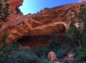
4.51.5 mi / 361 ft gain...The hike through Fay Canyon goes 1.25 miles to Box Canyon and is rated easy to moderate. To see Fay Canyon Arch though is a much shorter hike. From Boynton Pass Rd, park at Fay Canyon parking lot. The parking lot offers restrooms and a few picnic tables to relax at. The start of the trail is d...Read more -
Sedona, Arizona
Doe Mountain Trail
1.49 mi / 446 ft gainDoe Mountain Trail is a loop trail where you may see beautiful wildflowers located near Sedona, Arizona.Read more -
Sedona, Arizona
Hike Doe Mountain
5.01.4 mi / 400 ft gainThe trail begins almost immediately with some gradual switchbacks that climb up the mesa at a moderate incline. As you climb you will come to a trail junction with the Aerie trail about .3 in. At this junction just make sure to stay on the trail marked towards Doe Mountain and not on the Aerie tr...Read more -
Sedona, Arizona
Hike the Cockscomb Trail
1.5 mi / 330 ft gainThis is a wonderful less traveled trail that is fairly easy hiking, at least until you reach the base of the Cockscomb. It does not have much shade. I recommend hiking this trail late afternoon into sunset as the trail weaves between Doe Mountain and the Cockscomb on the west side. The setting su...Read more -
Sedona, Arizona
Picnic at Banjo Bill
Nestled in Oak Creek Canyon, and throughout the Red Rock District are several picnic and day-use areas. Popular sites include; West Fork, Red Rock Crossing, Banjo Bill and Grasshopper, which provide unique hiking, creek side picnicking, swimming and fishing opportunities. All Oak Creek Canyon cam...Read more -
Sedona, Arizona
Hike to Bear Mountain
5.06 mi / 2000 ft gainBear Mountain is one of the more difficult hikes in Sedona but has very easy access. There is a parking area between Doe Mountain and Bear Mountain. The trailhead is across the street and the initial approach is very flat. The red rock bluff you first see on the approach is only part of B...Read more -
Sedona, Arizona
Camp at East Pocket (Edge of the World)
4.7We love coming to this site in the Summer and Fall, but wanted to "test" our cold-weather gear before backpacking this Winter. So we went to our tried and true spot, with the comfort of our cars, so we could work out our layering and sleep system. Have a few cups of warm spiked cider and enjoy! T...Read more -
Sedona, Arizona
Dispersed Camping in Coconino National Forest (Edge of the World)
5.0This campsite is definitely out there. You'll take a dirt road into what seems to be a thick forest. Tell your GPS to put you on Woody Mountain Road in Flagstaff, AZ. Once you are on this road set your speedometer and follow this road for about 23 miles. Do not make any turns off of this road, th...Read more -
Sedona, Arizona
West Fork Trail
5.06.49 mi / 1102 ft gainThis is one of the most beautiful hikes in Sedona, Arizona. It is a fairly easy hike, although it is 6 miles roundtrip. A lot of families come here, and children love to play in the water. There are various stream crossings, but for most of them, you should be able to keep dry. The canyon walls ...Read more -
Sedona, Arizona
Climbing at Oak Creek Canyon
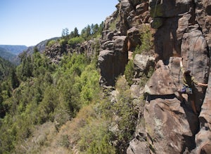
5.0Getting There About 18 miles south of Flagstaff on the 89A, turn into the Cave Springs parking lot and look for the trail just right of the first bridge. Hike up the chossy hill until you reach a giant sandstone slot canyon in the northwest. Climbing This canyon contained the crags, known as the ...Read more -
Sedona, Arizona
Hike up Cookstove Trail
1.6 mi / 800 ft gainEither a compliment to a night spent at the Pine Flat Campground or a quick day hike to top of your Sedona/Oak Creek adventure, this short hike will give you an alternative, but comparatively gorgeous view of the Sedona Area.This trail starts just north of Pine Flat Campground near milepost 387 a...Read more -
Sedona, Arizona
4X4 to Honanki Heritage Site
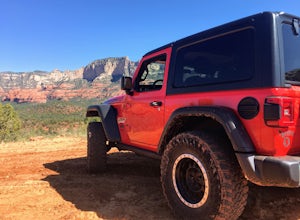
5.0One of Sedona’s best and most scenic drives, that happens to also lead to Native American ruins, has to be Loy Butte Road (FR-525). This route also forms the eastern half of the famous Outlaw 4×4 Jeep Trail. The road is very rough in places, especially during the latter part of the drive. The roa...Read more -
Flagstaff, Arizona
Climb Red Wagon at the Oak Creek Canyon Lookout
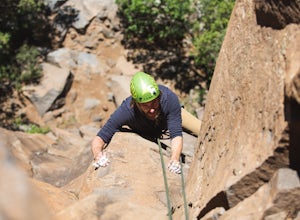
5.8, 80ft trad climb at the Oak Creek Canyon Lookout. To get there, take the 89A North from Sedona, or South from Flagstaff. Then you will see signs for the Oak Creek Canyon Lookout. Take the turn off and park in the lot. If you think you will stay beyond closing, park across the street so you d...Read more -
Flagstaff, Arizona
Climb Morning's Mourning at the Oak Creek Canyon Lookout
5.8+, 80ft trad climb at the Oak Creek Canyon Lookout. To get there, take the 89A North from Sedona, or South from Flagstaff. Then you will see signs for the Oak Creek Canyon Lookout. Take the turn off and park in the lot. If you think you will stay beyond closing, park across the street so you ...Read more

