Sedona, Arizona
Looking for the best running in Sedona? We've got you covered with the top trails, trips, hiking, backpacking, camping and more around Sedona. The detailed guides, photos, and reviews are all submitted by the Outbound community.
Top Running Spots in and near Sedona
-
Sedona, Arizona
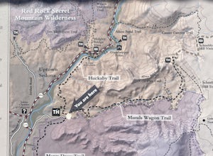
Huckaby Trail
4.05.95 mi / 797 ft gainHuckaby Trail is an out-and-back trail that takes you by a river located near Sedona, Arizona.Read more -
Sedona, Arizona
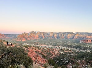
Airport Loop Trail
5.03.28 mi / 338 ft gainAirport Loop Trail is a loop trail where you may see wildflowers located near Sedona, Arizona.Read more -
Sedona, Arizona
Broken Arrow Trail to Chapel of the Holy Cross
4.54.91 mi / 640 ft gainThe Broken Arrow Trail is stunning. To reach the Broken Arrow Trail from the town of Sedona, head south on 179-S for approximately 1.5 miles and turn left on Morgan Road. Drive down Morgan Road until you reach the end of the asphalt and it turns into a dirt road. Drive down the dirt road approx...Read more -
Sedona, Arizona
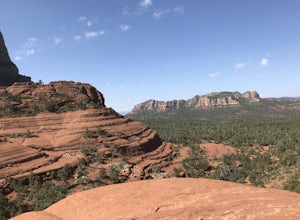
Broken Arrow Trail to Chicken Point
4.62.79 mi / 420 ft gainStart your hike at the Broken Arrow Trailhead, just .2 miles past the end of Morgan Rd. You will be immediately greeted by Sedona slickrock trails and red rock views for days! Take a minute to sneak a peek at Devil's Dining Room Sinkhole around 0.6 miles in. It has a sign and is just of to the ri...Read more -
Sedona, Arizona
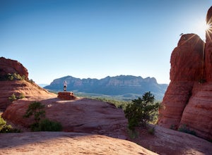
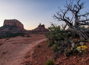
Hike or Bike Secret Slickrock Trail
5.00.8 mi / 107 ft gainWanting a short and sweet sunset or sunrise spot in Sedona away from some of the crowds? This easily accessible trail is great for people wanting picnics, a quick photography spot (we saw a couple from their wedding doing a photo shoot here), and a cool spot to watch the sun rise or set with the ...Read more -
Sedona, Arizona
Hike Munds Mountain
6 mi / 1400 ft gainMunds Mt. is the highpoint due east of the town of Sedona, but due to its forested summit and trailhead accessibility limited to 4WD vehicles, it gets far less interest than hikes like Cathedral Rock, Wilson Mountain, or Fay Canyon yet has fantastic views of the town of Sedona and the surrounding...Read more -
Sedona, Arizona
Devil's Bridge via Chuck Wagon Trail
5.05.75 mi / 738 ft gainDevil's Bridge via Chuck Wagon Trail is an out-and-back trail near Sedona, Arizona. This trail will take you to the largest natural sandstone arch in the Sedona area. Note: this trail permits dogs on-leash, but the steepness and footing can make it challenging and therefore not recommended for ...Read more -
Sedona, Arizona
Hike the Baldwin Trail
3.3 mi / 105 ft gainAs with most areas in Sedona, you will need to have purchased a Red Rock Pass to park at the trailhead, which is located just south of Verde Valley Road. The trailhead, starting at an elevation of 3,950 feet, is well marked and the trail is defined. You have an option to either hike clockwise or ...Read more -
Sedona, Arizona
Hike or Bike the Hiline Trail in Sedona
5.08 mi / 480 ft gainStart this incredible hike by parking at the Yavapai Point parking lot. Start the short hike (0.13 miles) on the Kaibab Trail which will run into Yavapai Vista Trail (0.27 miles) towards the Slim Shady Trail. Here you will have an incredible view of Bell Rock and Courthouse Vista an excellent pla...Read more -
Sedona, Arizona
Climbing at Oak Creek Canyon
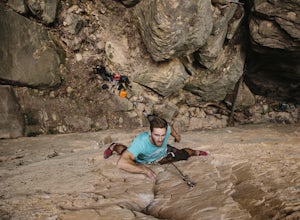
5.0Getting There About 18 miles south of Flagstaff on the 89A, turn into the Cave Springs parking lot and look for the trail just right of the first bridge. Hike up the chossy hill until you reach a giant sandstone slot canyon in the northwest. Climbing This canyon contained the crags, known as the ...Read more -
Yavapai County, Arizona
Bell Trail
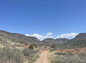
7.12 mi / 591 ft gainBell Trail is an out-and-back trail that takes you by a river located near Rimrock, Arizona.Read more -
Camp Verde, Arizona
Copper Canyon Loop Trail 504
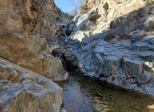
5.03.75 mi / 384 ft gainCopper Canyon Loop Trail 504 is a loop trail that takes you by a waterfall located near Camp Verde, Arizona.Read more -
Flagstaff, Arizona
Hike and Camp at Arizona's A1 Mountain
4.76.6 miles west of downtown Flagstaff off the I-40 West is the A1 Mountain Road. Continue over the cattle guards and enter into the A1 Mountain Area—perfect for hiking, camping, and trail running.The main road is well established for a dirt road, and many of the hiking trails branch off from it. T...Read more -
Flagstaff, Arizona
Bike along the San Francisco Peaks on Waterline Road
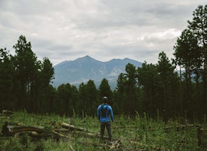
4.020 mi / 3000 ft gainWaterline Road is a closed service road that follows along the southern and eastern slopes of the San Francisco Peaks of Flagstaff, AZ. You will pass through several miles of charred ponderosa pine as well as expansive groves of aspen trees as you make your way to the Inner Basin.The road follows...Read more -
Flagstaff, Arizona
Hike the Aspen Nature Loop at Humphrey's Peak
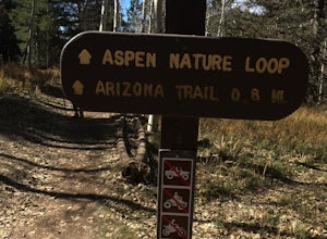
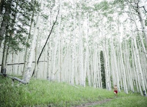
5.01.8 mi / 300 ft gainThis is a great hike that has amazing views at all times of the year. This trail might be closed for skiing season, but I am not sure. I went in October, just before Halloween and the weather was perfect. The leaves were changing and there was a nice brisk breeze. The short loop makes it accessib...Read more -
Flagstaff, Arizona
Trail Run in Lockett Meadow
4.8Getting There North of Flagstaff on the 89A, take a left turn directly after a sign for Sunset Crater. This road winds up a well-developed path; when it ends, turn right. After the road banks left, take a right at the next fork and continue on the dirt road up a single lane path until you enter t...Read more

