Sedona, Arizona
Top Spots in and near Sedona
-
Sedona, Arizona
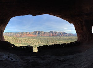
Robbers Roost
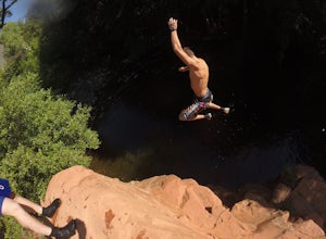
5.00.95 mi / 148 ft gainThe hike begins on the eastern side of the parking area. It is only a half mile hike but the views are amazing. Hike through the beautiful Sedona landscape of red rock and juniper before finding your way to this breathtaking cliff side view! Feel free to explore more of the mountain and find othe...Read more -
Yavapai County, Arizona
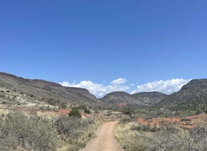
Bell Trail
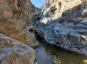
7.12 mi / 591 ft gainBell Trail is an out-and-back trail that takes you by a river located near Rimrock, Arizona.Read more -
Yavapai County, Arizona
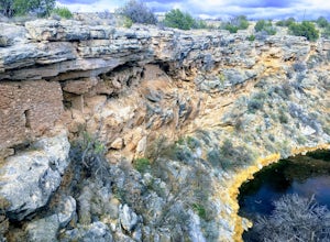
Hike to Montezuma's Well
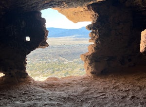
5.00.5 mi / 117 ft gainThis trail takes you to the rim of Montezuma Well, a massive collapsed limestone sinkhole. The springs at the bottom of the sinkhole feed a large pond which supports a unique aquatic habitat in this dry landscape. Scientists are still baffled as to the origin headwaters of the water within this c...Read more -
Clarkdale, Arizona
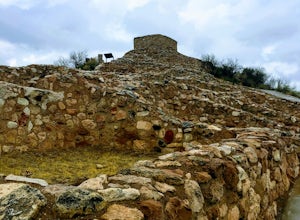
Hike the Tuzigoot Trail
4.50.5 mi / 55 ft gainSpend a couple of hours to discover the incredible legacy of an ancient people at Tuzigoot National Monument. Start at the Visitor Center, then take a self-guided, half mile loop trail that will lead around and through an incredible 110 room pueblo. The large building was home to the Sinagua peo...Read more -
Williams, Arizona
Hike the Kelsey Spring/Hog Hill/Dorsey Spring Loop
13.4 mi / 2200 ft gainThis hike starts at the Kelsey Spring Trailhead. Park at the end of Forest Service Road 538G. There is parking for about 6-7 cars. Just past the signage for the trail, which is also called Kelsey Winter Trail, there is a trail registration box. Be sure to sign in. The trail descends steeply for t...Read more -
Yavapai County, Arizona
Explore Montezuma's Castle National Monument
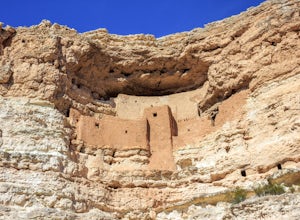
4.6Montezuma Castle is actually one of the United State's first National Monuments. This five story 50 room cliff dwelling is one of the best preserved in all of North America. There is a short interpretive walk along the cliff in which one can see the many remnants of the previous inhabitants.The S...Read more -
Flagstaff, Arizona
Hike the Two-Spot Loop Trail
2.5 mi / 100 ft gainThis loop trail has two different starting points. You can start at the south end of Rogers Lake (which is what I did) or the north end. I hike in a clockwise direction. This is recommended if you are hiking in the late afternoon as I did. The sun will be at your back during the section that has ...Read more -
Flagstaff, Arizona
Hike the Soldier's Trail
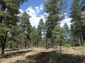
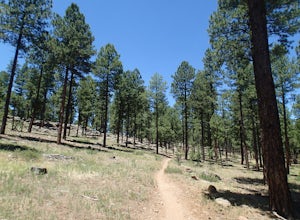
5.05.6 mi / 300 ft gainThis trail was named in honor of the military troops that trained here during World War II. Keep in mind, this loop trail is at 7000 feet, so if you are driving up from Phoenix or even Sedona, you may feel a little winded. However, there is no serious climbs on this hike so you may feel no diffe...Read more -
Flagstaff, Arizona
Camp at Red Rock
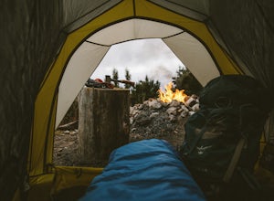
4.8Starting from Downtown Flagstaff we headed west. After making a left turn on Woody Mountain Road, we continued for 22 miles. Woody Mountain Road then becomes Forest Road 231. Continue on FS 231 until you find a killer spot to pitch it! Make sure to be wary of elk herds crossing the roads.We made ...Read more -
Flagstaff, Arizona
Camp at Pine Grove Campground
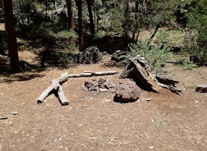
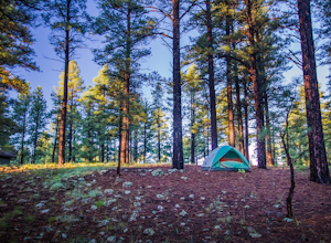
Pine Grove Campground in Flagstaff Arizona is a hidden gem. Upper and Lower Lake Mary, Ashurst, Marshall and Kinnikinick lakes are nearby and can provide ample recreational activities.The campsites are clean and have all the luxurious amenities (Coin-operated showers, tables, fire rings and cooki...Read more -
Flagstaff, Arizona
Camp at Marshall Lake
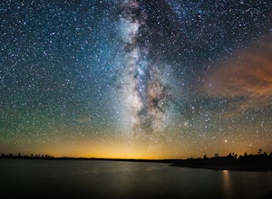
5.0If you’re looking for spacious campsites, starry skies, wooded hiking trails, and peaceful surroundings, Marshall Lake in Flagstaff, AZ is the perfect campground for you! Marshall Lake is located about 9 miles south of Flagstaff on Forest Highway 3 (Lake Mary Road). Turn left (east) on Forest Roa...Read more -
Flagstaff, Arizona
Camp at Ashurst Lake
Ashurst Lake is South East of Flagstaff and not too far from Mormon Lake. It's an easy drive that any car can do. There is a a short section of well-maintained dirt road. Keep in mind the current fire regulations for the area as well as the lake's water level if you're panning to launch your boat...Read more -
Camp Verde, Arizona
The Bull Pen
5.01.87 mi / 92 ft gainThis trail starts at the end of Bullpen Rd and your adventure begins in beautiful thickets of trees and plants. The going is easy and the tempting sound of rushing water is on your right as you continue parallel to West Clear Creek. The trail will veer left up a rocky old service road but pay att...Read more -
Camp Verde, Arizona
Copper Canyon Loop Trail 504
5.03.75 mi / 384 ft gainCopper Canyon Loop Trail 504 is a loop trail that takes you by a waterfall located near Camp Verde, Arizona.Read more -
Camp Verde, Arizona
McDonald Trail
4.00.83 mi / 351 ft gainMcDonald Trail is an out-and-back trail that in Coconino National Forest located near Camp Verde, Arizona.Read more -
Flagstaff, Arizona
Frisbee Golf at McPherson's
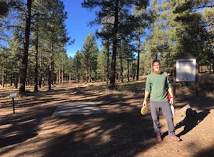
1 miMcPherson's is a public disk golf course five minutes north of downtown Flagstaff. The course is seasonally open from May - November. There are no tee times, and it is free to play. A somewhat tightly wooded 18-hole course with multiple pin placements makes this fun for beginners and a challenge...Read more

