Details
Features
About this place
The Shriner Peak Lookout Trail is one of the more demanding day hikes in the Mount Rainier region — a relentless 7.89-mile out-and-back that gains over 3,200 feet of elevation to reach a restored fire lookout perched at the summit. The reward is proportional: unobstructed, panoramic views of Mount Rainier looming close to the west, the Cascade Range rolling in every direction, and a genuine sense of hard-earned solitude at the top.
If you want a Mount Rainier view that you truly worked for, this is it.
The Trail
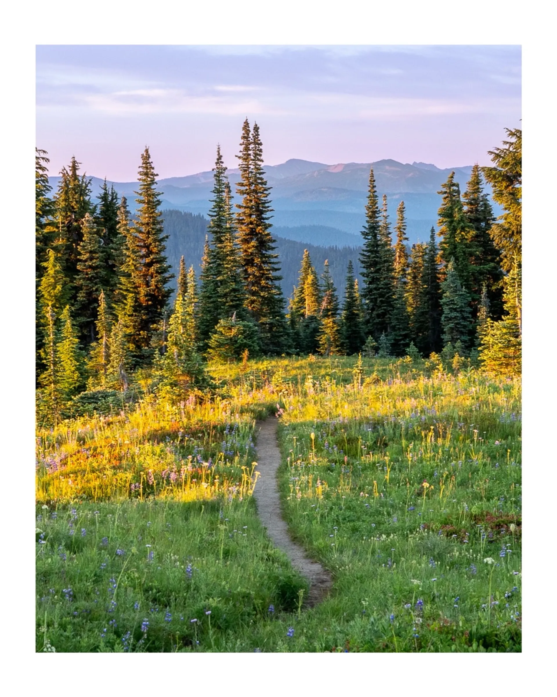
The route wastes no time — it climbs consistently from the trailhead through dense old-growth forest before breaking into open subalpine terrain with wildflower meadows in the upper miles. There's little flat ground to recover on. By the time you crest the final ridge and the lookout comes into view, the legs will know they've done something.
- Distance: 7.89 miles out-and-back
- Elevation gain: 3,287 ft
- Difficulty: Strenuous
- Route type: Out-and-back
- Summit: Shriner Peak Lookout (~5,834 ft)
The Lookout
The historic fire lookout cabin at the summit is the trail's centerpiece. Built in the 1930s as part of the Pacific Northwest's fire detection network, it has been restored and still stands at the top. The 360-degree views from the summit are extraordinary — Mount Rainier dominates the western skyline in a way that few other vantage points can match, and on clear days the views extend to Mount Adams, Mount St. Helens, and the full southern Cascade arc.
Wildflowers & Wildlife
The upper subalpine zone blooms with wildflowers through July and August — lupine, paintbrush, and bistort are common. Keep an eye out for black bears in the berry patches in late summer, marmots on the rocky slopes near the summit, and raptors riding thermals above the ridge.
Tips
- This trail is no joke — 3,287 ft of gain over less than 4 miles one way means sustained, steep climbing. Budget 5–7 hours for the full round trip
- Start early — afternoon thunderstorms are common in summer in the Cascades; aim to be off the exposed summit ridge by early afternoon
- Water: Limited water sources on the trail — carry more than you think you need
- Snow: The upper trail can hold snow into July; check current conditions before heading out in early summer
Practical Info
- Location: Mount Rainier National Park, near Paradise, Washington
- Entry fee: National Park pass required (~$35/vehicle, or America the Beautiful pass)
- Dogs: Not permitted within Mount Rainier National Park
- Season: July through October — the high elevation and heavy snow make early season access unreliable
- Nearest hub: Packwood, WA for food and lodging; the town of Ashford is the western gateway to the park
Leave No Trace
