›
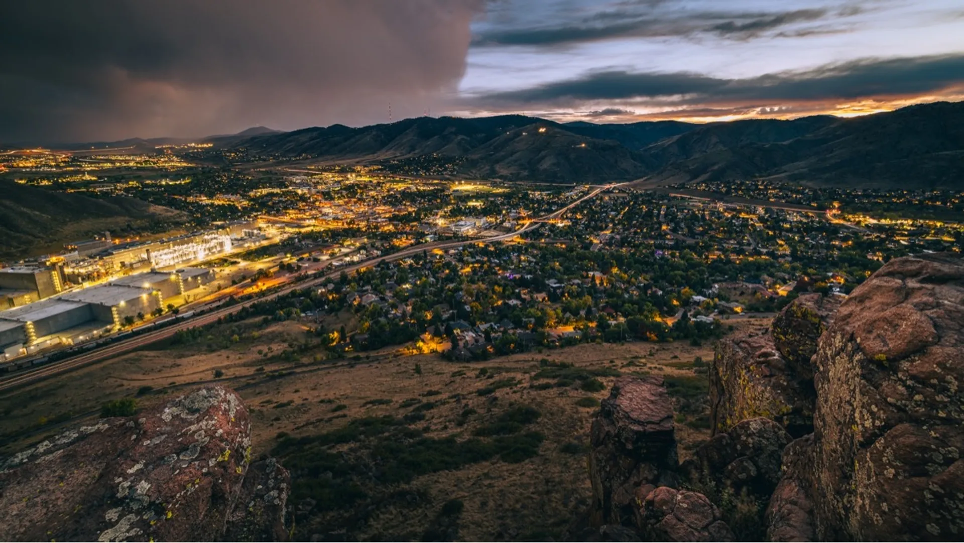
Colorado
Colorado
About this place
It's hard to beat what the Rockies have to offer. A plethora of world-class skiing in the winter, and all the hiking, backpacking, camping, mountain biking, and rafting you could hope for in the summer. Looking for a challenge?Maybe try your hand at one of Colorado's 14,000 ft peaks (there's somewhere between 53 and 58, depending who you ask).
Top Spots in and near Colorado, United States

100 Peery Parkway, CO
5.0
· 3 reviews
From here, you can choose a few different hiking paths. This out-and-back trek starts at the trailhead up and to the left. Along the way you'll pass a bench dedicated to Craig Luebben — a writer, photographer and climbing guide. At this point, you probably haven't even broken a sweat yet. It's time ...

Bond, CO
This was a rafting/camping trip. We camped at the Radium Campground and rafted 4.5 miles from Pump House Boat Launch. BLM charges $5.00 per vehicle at the boat launch sites and $10.00 per night for camping. Keep an eye out for big horn sheep. I saw them grazing on the side of the colorado river. You...

600 Baseline Road, CO
4.6
· 13 reviews
Starting at the ever-popular and ever-populated Chautauqua Trailhead, take the main trail (a highway version of a dirt trail) straight towards the Flatirons. Continue going straight passed the Ski Jump trail to your right (0.2 mi.), then at a crossroads with the Bluebell-Baird trail (0.3 mi.) turn r...

Lumpy Ridge Trailhead
4.3
· 11 reviews
Begin by parking at the Lumpy Ridge trailhead, which is a couple miles outside of Estes Park on McGregor Avenue. At the trailhead, there are numerous signs indicating hiking trails, climbing routes, and other information about the area. After parking start hiking on the trail to the right of the bat...

Crested Butte, CO
5.0
· 1 reviews
Oh Be Joyful Campground sits on the banks of the Slate River and consists of 15 camp sites dispersed over a decent amount of ground, split into two sides of the river. The river, when it's low is more of a stream and is only passable when it's low. It's a small thrill to drive through it to get to t...

Finch Lake Trailhead
5.0
· 1 reviews
Pear lake is a beautiful alpine lake in the southern Wild Basin region of Rocky Mountain National Park. Once used as a reservoir, Pear Lake has been restored to its natural state and lies in scenic basin below some of the most isolated mountains in the park. The trail to Pear Lake passes through mat...

Nederland, CO
4.8
· 4 reviews
The trail begins at the 4th of July trailhead, which is located near the Eldora ski area and can be crowded during the summer and weekends. The road is rough in places but passable by any car when dry. From the parking area begin hiking the Arapaho pass trail, which will gently gain elevation throug...

Yankee Boy Basin Upper Trailhead
5.0
· 3 reviews
The most common route, sometimes called the standard route or the Lavender Col route, begins at or near the top of Yankee Boy Basin, just outside of Ouray. Take the Camp Bird Road as far as you can, though be warned that the last few miles of the road are extremely rough and should only be attempted...

313 Reverend's Ridge Campground Road, CO
4.0
· 2 reviews
Summer is a magical time of year in the Rocky Mountains. One great way to experience this stunning beauty is through hiking Raccoon Trail to Panorama Point at Golden Gate State Park. Raccoon Trail is 3.3 mile moderately difficult hike which can be completed in under an hour, although it will likely ...

Bear Canyon Trail
The Bear Canyon Trailhead is just one of many starting points for this hike, one could also start at NCAR, North Fork Shanahan, or any point on the Mesa Trail. For the purposes of this adventure, I'll start at Bear Canyon Trailhead in South Boulder. This hike will take you about 2-4 hours depending ...

Alberta Falls Trailhead
4.0
· 8 reviews
Heading into the park from Beaver Meadows Entrance Station turn left at the first road in .2 miles. Follow Bear Lake Road for 8 miles until reaching the Glacier Gorge parking area on the left. Take the trail from the parking area and follow it to the intersection with the Sprague Lake Trail. Stay st...

H.B. Wallace Reserve, H.B. Wallace Reserve
5.0
· 1 reviews
The Basics: If you've never been to Green Mountain Falls, you're missing out! This tiny mountain hamlet, just off Hwy 24 before Woodland Park, hosts a vibrant collection of local shops and eateries around its community lake. It is also home to many lesser-known hiking trails, including the H.B. Wall...

Fern Lake Trailhead
4.0
· 1 reviews
Odessa Lake seems to be one of the true hidden gems of Rocky Mountain National Park. Don't get me wrong, you will likely see some folks there, but it is a far cry from the other crowded Bear Lake trailhead lakes. There are two ways to reach Odessa; one, from the Bear Lake Trailhead, and the other fr...

Hidden Fawn Trail Parking
4.7
· 3 reviews
The way up Evergreen Mountain is actually a few different trails stitched together throughout Alderfer/Three Sisters Park. The trail connects to both parking lots in the park, so if one is full you can just start from the other one, giving you lots of options for a quick day-hike. If you start from ...

Allenspark, CO
4.0
· 3 reviews
Sandbeach Lake is best known for (as you can probably guess) its wide sandy shore. At nearly 50 feet deep, it is one of Rocky Mountain National Parks deepest lakes. If you are looking to fish at the lake, make sure to bring barbless flies and lures. There are six official campsites (1.8 miles Hole i...

Littleton, CO
4.5
· 2 reviews
Carpenter Peak stands at 7,166 feet above sea level. While that altitude might not exactly take your breath away, the views from the top certainly will. Starting at the Visitor's Center, the trail to Carpenter's Peak begins as a relatively flat, well-traveled trail. A little less than a mile into th...