Cameron, Arizona
Looking for the best hiking in Cameron? We've got you covered with the top trails, trips, hiking, backpacking, camping and more around Cameron. The detailed guides, photos, and reviews are all submitted by the Outbound community.
Top Hiking Spots in and near Cameron
-
Flagstaff, Arizona
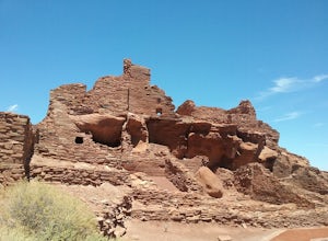
Hike the Wupatki Pueblo Trail
5.00.4 mi / 85 ft gainStart your hike from the visitor center and walk the path down to the different ruins. Take time to explore the ruins and admire the surrounding scenery. The path is rather uneven in certain places and require some caution.Read more -
Tuba City, Arizona
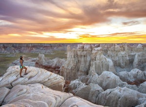
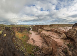
Hike Coal Mine Canyon
5.01 mi / -364 ft gainCoal Mine Canyon is a remote gem of the southwest that borders the Hopi and Navajo Indian Reservation. Coal Mine Canyon is located about 15 miles from Tuba City Arizona, The access to the canyon is off of Hwy 264 between mile marker 337 and 338 (right around 337.25). Once you make the turn off y...Read more -
Flagstaff, Arizona
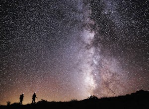
SP Crater
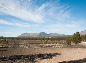
1.96 mi / 341 ft gainOff of the 89, just north of Flagstaff AZ, there is an unmarked dirt road just before a gas station. It leads out to privately owned land that's open to the public. Some friends and I went out there to get away from our day jobs. As we headed down the road, the land opened up in vast expanses of ...Read more -
GRAND CANYON, Arizona
Capturing the Monsoons in Grand Canyon NP
5.0Being in the right place at the right time is the biggest challenge when attempting to photograph the monsoons at the Grand Canyon. Paying careful attention to the weather patterns throughout the day can help, but your best bet is to watch the clouds, pick a viewpoint, and take your chances. A fe...Read more -
GRAND CANYON, Arizona
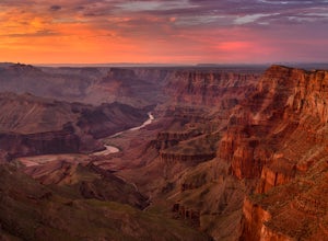
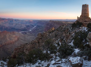
Photograph Desert View Watchtower
5.0Desert View Watchtower is a 70-foot high stone tower located on the South Rim of the Grand Canyon. Once you cross into the park through the east entrance look for the sign for Desert View, it's the first real lookout point in the park and there is plenty of parking.The tower was constructed in th...Read more -
Grand Canyon Village, Arizona
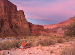
Backpack the Tanner Trail in Grand Canyon National Park
18 mi / 4900 ft gainThe trip requires a backcountry permit for zone BB9 (reserve HERE). Backcountry permits in Grand Canyon National Park are available for reservation on the 1st of the month 4 months prior to your trip date (e.g. if you wanted to go on a trip on May 20 you could reserve your permit on January 1st)....Read more -
Leupp, Arizona
Grand Falls (CLOSED)
4.31.2 mi / 246 ft gainGrand Falls is closed indefinitely as of February 2023. Please visit leupp.navajochapters.org for more updates. Grand Falls is located about 30 miles northeast of Flagstaff Arizona in Navajo Nation. Even though its only 30 miles from Flagstaff you’ll still have about an hour drive to the falls...Read more -
Grand Canyon Village, Arizona
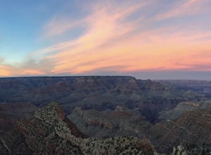
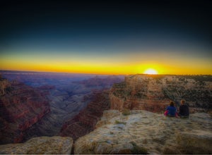
Hike to the Grand Canyon's Sunset Nook
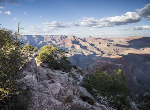
5.0While the Grand Canyon is full of spectacular views, one particular spot has always been a favorite due to the relatively easy access and the ability to separate from all of the action. To access the sunset nook, start at the Grandview Trailhead at the South Rim (a 16 minute drive from the main V...Read more -
36.122218,-111.949399
Sunset Hike the Cape Royal Trail
0.8 miThis is a very easy "hike" at the North Rim of the Grand Canyon. The drive itself is a little long and winding (keep your eye out for deer that bolt across the narrow road, especially at night), but the easy walk that takes you through a plethora of marked, detailed desert life completed by the ...Read more -
Flagstaff, Arizona
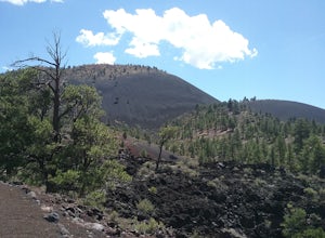
Hike the Lava Flow Trail at Sunset Crater Volcano National Monument
5.01 miGet started on the hike from the parking lot. The first quarter mile is paved and very easy to walk. The rest of the trail takes you to the base of the volcano through lava flows and tubes. This is an incredible landscape to take in along your hike.Read more -
Flagstaff, Arizona
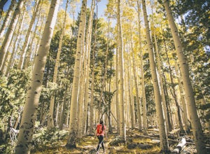
Abineau-Bear Jaw Loop
5.07.04 mi / 2031 ft gainThis trail is slightly more hidden on the northern slope of the San Francisco Peaks, but well worth the drive just outside of Flagstaff. Do it during the last week of September, when summer gives it’s last wave goodbye in a spectacle of electric yellow aspen groves. With the exception of occasion...Read more -
Flagstaff, Arizona
Hike Inner Basin Trail #29
5.03.2 mi / 757 ft gainWhen the golden fall color is at its peak is when this trail (and Locket Meadow camping) is the most popular. I recommend getting there as early as possible, because parking goes FAST. And note that the drive up to the trailhead is a bit sketchy as well… Beginning at Lockett Meadow, the start o...Read more -
Grand Canyon Village, Arizona
Shoshone Point
5.02.14 mi / 100 ft gainA two mile round trip and relatively fast hike, Shoshone Point lies only about a mile from the parking lot and is an easy hike along a dirt road to a stunning vista. The trailhead is on Desert View Dr (Highway 64) about 3.5 miles east of the junction of highways 180 and 64. Look for the trail on ...Read more -
Flagstaff, Arizona
Camp in the Coconino National Forest
3.8The free camping in the Coconino (as well as the many other national forests) is generally along the old Fire Roads, and old Forest Service Roads. You can tell if a road is one of these by a brown sign with an FS 123 or any other number, FS meaning Forest Service Road. There are many of these roa...Read more -
North Rim, Arizona
Hike and Camp at Nankoweap Granaries
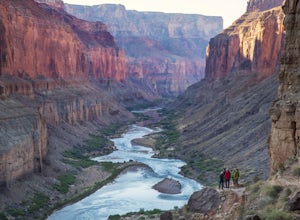
5.02 mi / 700 ft gainHiking to the Nankoweap Granaries can be done in a few ways but the two most popular routes is by boat along the Colorado River or the unmaintained Nankoweap trail, which is considered by most and the park services the most difficult named trail. Nankoweap Creek drains into the Colorado creating ...Read more -
Grand Canyon Village, Arizona
South Kaibab Trail to Tip Off
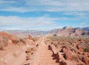
4.08.86 mi / 5000 ft gainThe late Fall turned out to be the perfect time to visit the Grand Canyon. You still run into a number of people tripping over rocks with selfie sticks, but we had no trouble finding peace and serenity on distant overlooks and throughout the trails. We arrived around 4 pm on a Saturday after 21...Read more

