Cameron, Arizona
Looking for the best hiking in Cameron? We've got you covered with the top trails, trips, hiking, backpacking, camping and more around Cameron. The detailed guides, photos, and reviews are all submitted by the Outbound community.
Top Hiking Spots in and near Cameron
-
Grand Canyon Village, Arizona
Backpack the Grand Canyon's South Rim
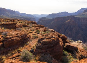
5.030.1 mi / 4541 ft gainIf you want to see the real Grand Canyon, this is it. The 3 day backpacking will take you down into the canyon to where few people visit. Although the South Kaibab trail is steep, has no shade cover and water and the views are gorgeous. It is best to start from the South Kaibab, hike down to the ...Read more -
Grand Canyon Village, Arizona
Hike South Kaibab Trail to Cedar Ridge
5.02.88 mi / 1158 ft gainTo access the trailhead, you must take a shuttle in. There is not parking next to the trailhead because the parking lot is very small. From the trailhead you cascade down several steep switchbacks and continue on until you reach Ooh Ah point. Ooh Ah point is a great place for a wide or panoramic ...Read more -
Grand Canyon Village, Arizona
Phantom Ranch via the South Kaibab & Bright Angel Loop
5.021.58 mi / 4314 ft gainThere are many ways in and out of the Grand Canyon but the most popular loop is to descend from the South Rim, heading down the steeper South Kaibab Trail and returning up via the easier Bright Angel Trail. Your adventure starts early to beat the sun (and get the views). After getting your permi...Read more -
Grand Canyon Village, Arizona
Cremation Canyon via South Kaibab Trailhead
10.43 mi / 3973 ft gainThe Grand Canyon is over 277 miles long and is full of unique geological formations in all sorts of colors. One of the most striking aspects of the Grand Canyon is its immense scale and the dynamic landscapes it has to offer. There's something about it that makes it extremely difficult to fully c...Read more -
Grand Canyon Village, Arizona
Utah Flats via Cremation Canyon
4 mi / 2527 ft gainNote: The spot on the map is the beginning of the hike into Cremation Canyon Campground. For the full report on getting there, check out this adventure. Heading out of the campsite at Cremation Canyon, look for hints of a trail where you will scramble up, following other boot prints and cairns t...Read more -
Flagstaff, Arizona
Winter Summit Humphreys Peak, Arizona
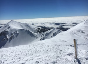
8.4 mi / 3335 ft gainFrom Flagstaff, take US-180 west towards the Grand Canyon. Take US-180 for 7 miles until you reach Snow Bowl Rd. Turn right/N onto Snow Bowl Rd and take this for 7 miles as it winds its way up the mountain. If it has recently snowed you will need chains for 2 wheel drive vehicles or 4 wheel drive...Read more -
Flagstaff, Arizona
Hike the Aspen Nature Loop at Humphrey's Peak
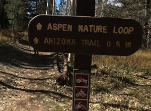
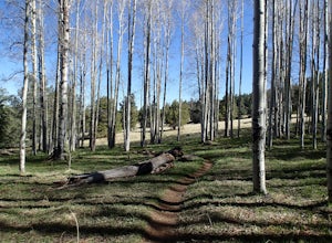
5.01.8 mi / 300 ft gainThis is a great hike that has amazing views at all times of the year. This trail might be closed for skiing season, but I am not sure. I went in October, just before Halloween and the weather was perfect. The leaves were changing and there was a nice brisk breeze. The short loop makes it accessib...Read more -
Flagstaff, Arizona
Humphreys Peak Summit
5.09.57 mi / 2759 ft gainIf you think you might only get one chance to hike Humphreys Peak in your life, I recommend this hike so that you can have a unique view experience of the east and west sides of the Peaks. This is a shuttle hike of Humphreys Peak which combines the Humphreys Peak Trail and the Humphreys via Inner...Read more -
Flagstaff, Arizona
Snowshoe at the Arizona Nordic Village
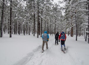
2.5 miTo get to the Nordic Village from Flagstaff, just take the 180 North until you see the signs for the Nordic Village (on your right).Once at the Nordic Village, go inside the entrance building to buy your day pass ($10 for a snowshoeing day pass) and rent your gear. Feel free to bring your own sn...Read more -
Coconino County, Arizona
Hike Aspen Corner to Bismark Lake on the Arizona Trail
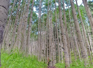
5.07 mi / 500 ft gainI started this hike at 7:00am. It was a perfect time of day. The sky was clear and the air was cool. I chose this section of the Arizona National Scenic Trail because I heard it passes through beautiful prairie and stands of Ponderosa Pine and Aspen trees. The trail did not disappoint! I started...Read more -
North Rim, Arizona
Phantom Ranch to Ribbon Falls via North Kaibab Trail
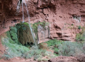
11.98 mi / 3320 ft gainPhantom Ranch to Ribbon Falls via North Kaibab Trail is an out-and-back trail that takes you to stunning Ribbon Falls in Grand Canyon National Park located near North Rim, Arizona. This trail makes for a long hike especially if doing it one day, so be sure to pack plenty of water, snacks, and sun...Read more -
Grand Canyon Village, Arizona
Camp at Mather Campground, Grand Canyon NP
4.5Mather campground provides forest camping at its best while visiting the beautiful South Rim of the Grand Canyon. Spacious RV, tent, group and even horse sites are available in this well kept facility. The area also provides clean restrooms, water, dump station and showers (additional cost) if yo...Read more -
North Rim, Arizona
Bright Angel Point
4.30.86 mi / 361 ft gainThe trailhead begins at the North Rim Lodge/Visitor Center that rests of the edge of the Grand Canyon and heads east until you reach Bright Angel Point a half mile later. It's connected to the large outdoor patio where visitors are allowed to relax and enjoy a beer in the evening or cup of coffe...Read more -
North Rim, Arizona
Hike Point Imperial Trail
5.38 miPoint Imperial is the highest point in the Grand Canyon, lying in the North Rim, at 8800ft and offering incredible views of staggered mountains. The trail itself is relatively easy. If you're not acclimated to the elevation you'll feel short of breath, but beyond that it mostly takes you through...Read more -
Flagstaff, Arizona
Bike along the San Francisco Peaks on Waterline Road
4.020 mi / 3000 ft gainWaterline Road is a closed service road that follows along the southern and eastern slopes of the San Francisco Peaks of Flagstaff, AZ. You will pass through several miles of charred ponderosa pine as well as expansive groves of aspen trees as you make your way to the Inner Basin.The road follows...Read more -
Grand Canyon Village, Arizona
Plateau Point via Bright Angel Trail
4.812.27 mi / 3000 ft gainStart off at Bright Angel Trailhead, then hike down into the Grand Canyon on one of the higher-quality trails. Hiking down to Plateau Point (furthest option) is well worth it. The hike down is a total of 6 miles, with a 3,000 foot drop in elevation. As you can imagine, this means the way back ou...Read more

