Cameron, Arizona
Looking for the best camping in Cameron? We've got you covered with the top trails, trips, hiking, backpacking, camping and more around Cameron. The detailed guides, photos, and reviews are all submitted by the Outbound community.
Top Camping Spots in and near Cameron
-
Tuba City, Arizona
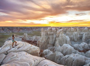
Hike Coal Mine Canyon
5.01 mi / -364 ft gainCoal Mine Canyon is a remote gem of the southwest that borders the Hopi and Navajo Indian Reservation. Coal Mine Canyon is located about 15 miles from Tuba City Arizona, The access to the canyon is off of Hwy 264 between mile marker 337 and 338 (right around 337.25). Once you make the turn off y...Read more -
Flagstaff, Arizona
SP Crater
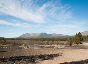
1.96 mi / 341 ft gainOff of the 89, just north of Flagstaff AZ, there is an unmarked dirt road just before a gas station. It leads out to privately owned land that's open to the public. Some friends and I went out there to get away from our day jobs. As we headed down the road, the land opened up in vast expanses of ...Read more -
GRAND CANYON, Arizona
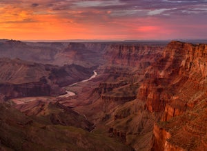
Capturing the Monsoons in Grand Canyon NP
5.0Being in the right place at the right time is the biggest challenge when attempting to photograph the monsoons at the Grand Canyon. Paying careful attention to the weather patterns throughout the day can help, but your best bet is to watch the clouds, pick a viewpoint, and take your chances. A fe...Read more -
Grand Canyon Village, Arizona
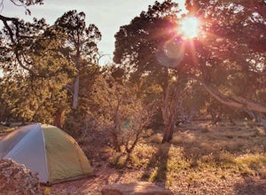
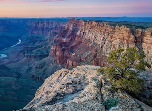
Camp at Desert View Campground
5.0There are three campgrounds on the south rim of Grand Canyon National Park. Two, Mather Campground and Desert View Campground are run by the National Park Service. Trailer Village is a privately-run RV park located in Grand Canyon Village. If you don’t mind craziness and crowds, both Mather Campg...Read more -
Grand Canyon Village, Arizona
Backpack the Tanner Trail in Grand Canyon National Park
18 mi / 4900 ft gainThe trip requires a backcountry permit for zone BB9 (reserve HERE). Backcountry permits in Grand Canyon National Park are available for reservation on the 1st of the month 4 months prior to your trip date (e.g. if you wanted to go on a trip on May 20 you could reserve your permit on January 1st)....Read more -
Flagstaff, Arizona
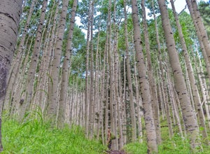
Abineau-Bear Jaw Loop
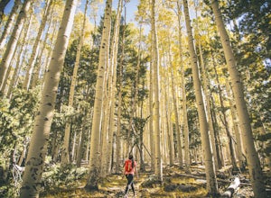
5.07.04 mi / 2031 ft gainThis trail is slightly more hidden on the northern slope of the San Francisco Peaks, but well worth the drive just outside of Flagstaff. Do it during the last week of September, when summer gives it’s last wave goodbye in a spectacle of electric yellow aspen groves. With the exception of occasion...Read more -
Flagstaff, Arizona
Camp in the Coconino National Forest
3.8The free camping in the Coconino (as well as the many other national forests) is generally along the old Fire Roads, and old Forest Service Roads. You can tell if a road is one of these by a brown sign with an FS 123 or any other number, FS meaning Forest Service Road. There are many of these roa...Read more -
North Rim, Arizona
Hike and Camp at Nankoweap Granaries
5.02 mi / 700 ft gainHiking to the Nankoweap Granaries can be done in a few ways but the two most popular routes is by boat along the Colorado River or the unmaintained Nankoweap trail, which is considered by most and the park services the most difficult named trail. Nankoweap Creek drains into the Colorado creating ...Read more -
Grand Canyon Village, Arizona
Backpack the Grand Canyon's South Rim
5.030.1 mi / 4541 ft gainIf you want to see the real Grand Canyon, this is it. The 3 day backpacking will take you down into the canyon to where few people visit. Although the South Kaibab trail is steep, has no shade cover and water and the views are gorgeous. It is best to start from the South Kaibab, hike down to the ...Read more -
Grand Canyon Village, Arizona
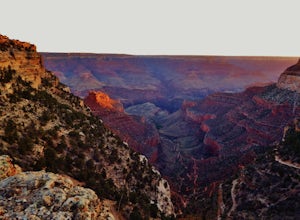
Phantom Ranch via the South Kaibab & Bright Angel Loop
5.021.58 mi / 4314 ft gainThere are many ways in and out of the Grand Canyon but the most popular loop is to descend from the South Rim, heading down the steeper South Kaibab Trail and returning up via the easier Bright Angel Trail. Your adventure starts early to beat the sun (and get the views). After getting your permi...Read more -
Grand Canyon Village, Arizona
Cremation Canyon via South Kaibab Trailhead
10.43 mi / 3973 ft gainThe Grand Canyon is over 277 miles long and is full of unique geological formations in all sorts of colors. One of the most striking aspects of the Grand Canyon is its immense scale and the dynamic landscapes it has to offer. There's something about it that makes it extremely difficult to fully c...Read more -
Grand Canyon Village, Arizona
Utah Flats via Cremation Canyon
4 mi / 2527 ft gainNote: The spot on the map is the beginning of the hike into Cremation Canyon Campground. For the full report on getting there, check out this adventure. Heading out of the campsite at Cremation Canyon, look for hints of a trail where you will scramble up, following other boot prints and cairns t...Read more -
Flagstaff, Arizona
Humphreys Peak Summit
5.09.57 mi / 2759 ft gainIf you think you might only get one chance to hike Humphreys Peak in your life, I recommend this hike so that you can have a unique view experience of the east and west sides of the Peaks. This is a shuttle hike of Humphreys Peak which combines the Humphreys Peak Trail and the Humphreys via Inner...Read more -
North Rim, Arizona
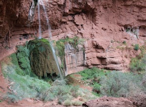
Phantom Ranch to Ribbon Falls via North Kaibab Trail
11.98 mi / 3320 ft gainPhantom Ranch to Ribbon Falls via North Kaibab Trail is an out-and-back trail that takes you to stunning Ribbon Falls in Grand Canyon National Park located near North Rim, Arizona. This trail makes for a long hike especially if doing it one day, so be sure to pack plenty of water, snacks, and sun...Read more -
Grand Canyon Village, Arizona
Camp at Mather Campground, Grand Canyon NP
4.5Mather campground provides forest camping at its best while visiting the beautiful South Rim of the Grand Canyon. Spacious RV, tent, group and even horse sites are available in this well kept facility. The area also provides clean restrooms, water, dump station and showers (additional cost) if yo...Read more -
Grand Canyon Village, Arizona
Plateau Point via Bright Angel Trail
4.812.27 mi / 3000 ft gainStart off at Bright Angel Trailhead, then hike down into the Grand Canyon on one of the higher-quality trails. Hiking down to Plateau Point (furthest option) is well worth it. The hike down is a total of 6 miles, with a 3,000 foot drop in elevation. As you can imagine, this means the way back ou...Read more

