Details
Features
About this place
Walk along the beautiful Appalachian Trail to one of New Hampshire's 4,000 Footers, Mount Moosilauke. The views are endless and breathtaking!
The trailhead is located along Lost River Road. There is a $5.00 day use parking pass required. The trail starts off on the Beaver Brook Trail (also the Appalachian Trail). The trail consists of cascades of rocks, wood-block steps and metal rungs (not all entirely in tact). It is very often close to the ravine’s edge. The trail is on New Hampshire 25 most terrifying trails. There are signs of caution early on and caution should be taken, especially if wet. While watching your footing also take the time to enjoy the endless waterfalls and cascades!
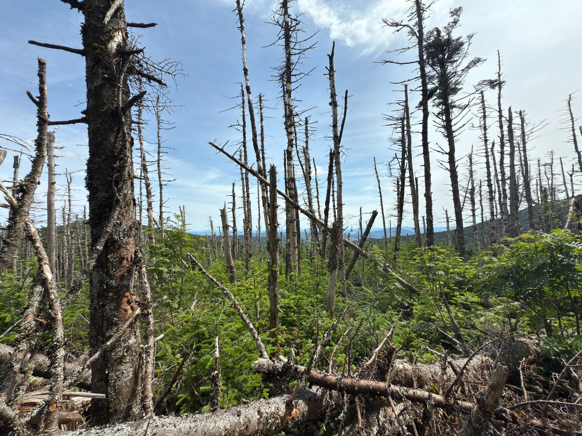
At 1.5 miles you can take a short trail to your right to see the Beaver Brook Shelter (there is also a privy). The climb from the shelter is moderate at the beginning but soon levels out for some easier stretches. Eventually the trail breaks free from the treeline and climbs to the open summit.
The summit is large and open with 360 views. You can see several of the New England 4,000 footers including some in Vermont!
Leave No Trace
