Details
Features
About this place
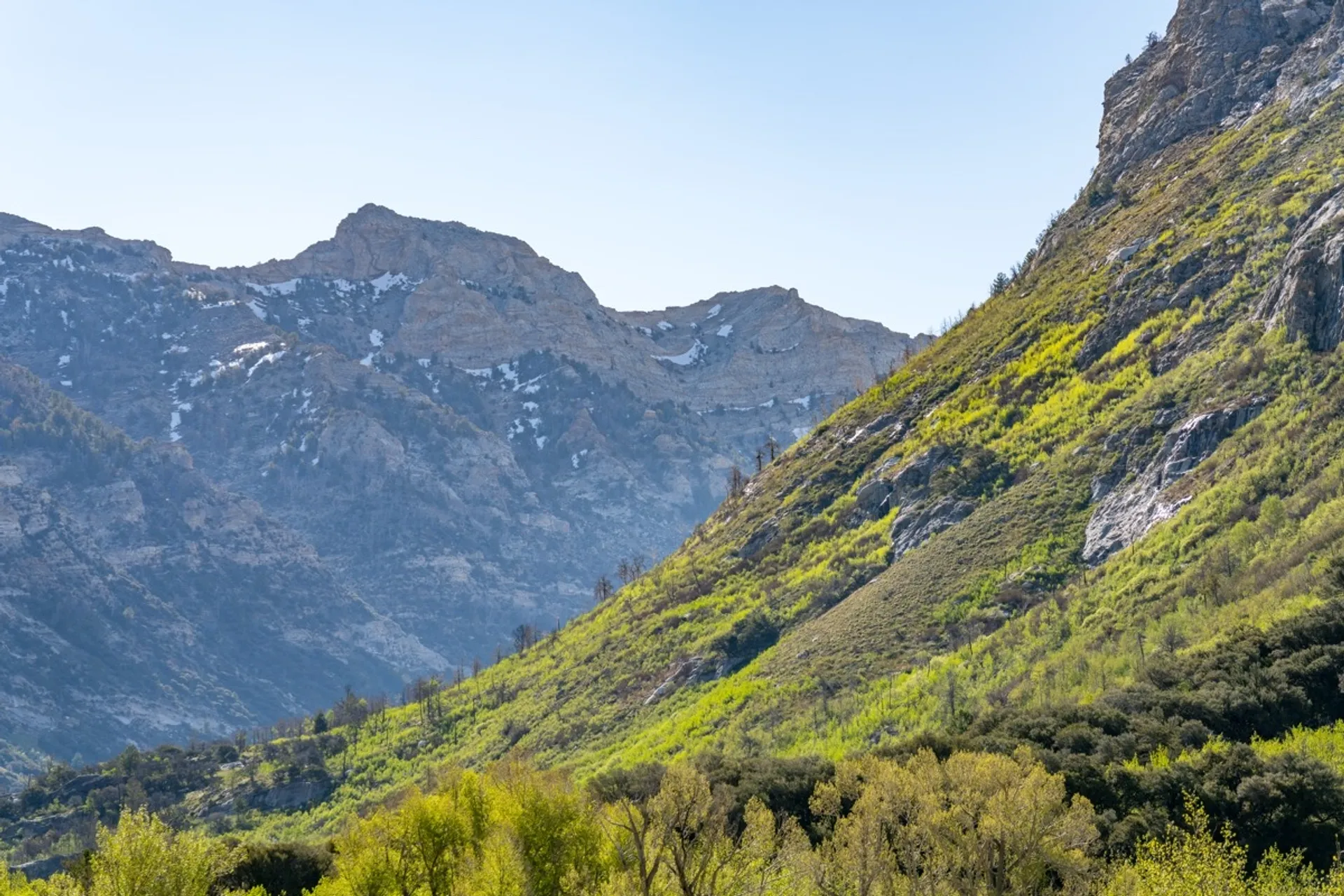
The Ruby Crest Trail to Lamoille Lake is a 4.4-mile round-trip hike that starts at the end of the Lamoille Canyon Scenic Byway and climbs to a glacial lake just above the tree line in the Ruby Mountains.
The trailhead sits at roughly 8,800 feet, and the lake is at about 9,750 feet. It's not a technical hike, but the starting elevation means altitude can be a factor, especially if you've come from lower ground.
Adventure Type: Out-and-back day hike.
Surface: Packed dirt and rocky alpine tread; stream crossings early in the route.
Difficulty: Moderate - steady elevation gain with some steeper switchback sections.
Best Time to Visit: Late summer through early fall for the most reliable trail conditions; snow can linger well into summer.
The trail heads south from the Ruby Crest Trailhead, quickly opening up to views of the high peaks ahead. The route crosses a fork of Lamoille Creek and then climbs through mixed conifers and meadows, with a series of switchbacks around the 1-mile mark that gain most of the elevation. At around 1.5 miles, a wide canyon overlook offers a good rest point with views down to the byway far below. The trail then levels out toward the Dollar Lakes - two marshy ponds worth a short detour. Lamoille Lake appears at 2.2 miles: a blue-green glacial tarn sitting below the ridgeline, with brook trout in the water and a rocky shoreline good for a break.
Conditions as of mid-May 2026: the stock trail was dry until about 0.5 miles from the lake, then snow-covered; the hiker trail had more snow beginning around 0.5 miles into the hike.
Hours of Use: Open daily; no overnight restriction for day hikers.
Parking and Facilities: Parking at the Ruby Crest Trailhead at the end of the Lamoille Canyon Scenic Byway; pit toilets available.
Permits & Fees: No entry fee.
Are Dogs Allowed: Yes, on a leash.
What to Bring:
- Water and snacks (at least 2 liters for the round trip)
- Trekking poles can be helpful on the switchbacks and on trails with any remaining snow
- Microspikes or traction devices if visiting before mid-summer
- Layers (temperatures at the lake are cooler than in the canyon below)
- Sunscreen
While visiting, please follow the Dirt Road Code.