Muir Beach, California
Looking for the best hiking in Muir Beach? We've got you covered with the top trails, trips, hiking, backpacking, camping and more around Muir Beach. The detailed guides, photos, and reviews are all submitted by the Outbound community.
Top Hiking Spots in and near Muir Beach
-
Mill Valley, California
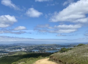
Miwok, Marincello and Bobcat Trail
8.17 mi / 1391 ft gainMiwok, Marincello and Bobcat Trail is a loop trail that takes you by a river located near Sausalito, California.Read more -
Marin County, California
Picturesque Views from Mt. Tam's East Ridge
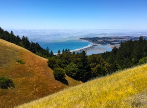
5.0This road provides one of the most scenic views of the pacific from north of the Golden Gate. It's a little bit of a windy drive or ride along Highway 1 or Panoramic Highway (depending on which way you choose) to get to East Ridgecrest. But, if you remembered to pack a picnic, brought your friend...Read more -
Mill Valley, California
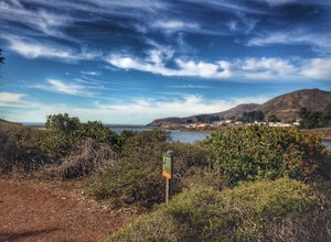
Rodeo Cove to Point Bonita Lighthouse
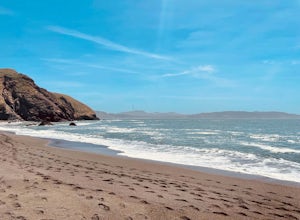
5.03.64 mi / 568 ft gainIf you're looking for a little hike and a lot of beach, you'll find your ideal combo at Rodeo Beach and Point Bonita Lighthouse. Park at the Marin Headlands Visitor Center at the head of the 0.8 mile trail to the beach. From the lighthouse to the beach, it will be another 1.5-2 miles there and ba...Read more -
Stinson Beach, California
Cataract Trail Loop
4.58.7 mi / 1670 ft gainDuration: 3.5-4 hour hike at a moderate to quick pace with a short break for lunch. Starting at an elevation of 1989ft and maxing at 2001ft, you achieve 1428 of elevation gain through a beautiful peak and valley hike. From the free Rock Springs Parking Area, the basic trailheads to follow along...Read more -
Stinson Beach, California
Dipsea Trail to Steep Ravine Trail Loop from Stinson
5.05.99 mi / 1568 ft gainDipsea Trail to Steep Ravine Trail Loop from Stinson is a loop trail that takes you by a waterfall located near Stinson Beach, California.Read more -
Stinson Beach, California
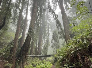
Matt Davis-Steep Ravine Loop
4.76.62 mi / 1726 ft gainThis loop is made up of three of the most popular Marin trails and for good reason. These trails offer not only expansive ocean views, but a variety of topography and environments. This 6+ mile loop offers up waterfalls, dense forests, redwoods, and open grasslands overlooking the pacific. Starti...Read more -
Stinson Beach, California
Matt Davis-Coastal Trail Loop
4.76 mi / 2231 ft gainThis hike is an alternative to the famous Matt Davis to Steep Ravine Loop. The hike starts at Stinson Beach, just behind the fire Station. I recommend parking at the Beach parking lot. The Matt Davis trail is one of the best constructed trails I have ever seen. After 2.2 miles, turn left on the ...Read more -
Mill Valley, California
Temelpa Trail
4.52.94 mi / 1929 ft gainThe Mt. Tam Hill Climb via Temelpa Trail is an iconic, "best-of" climb in the trail running community, drawing some of the world's greatest athletes to experience its breathtaking views and technical downhill. Surprisingly though, outside of locals and the running community, the trail remains lar...Read more -
Mill Valley, California
Summit of Mt. Tamalpais Loop
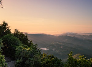
5.01.15 mi / 394 ft gainMt. Tam is a large park with plenty of amazing viewpoints, but the East routes and the East Peak are best for sunsets. Once you're at the top, it's an amazing spot to view a large number of Marin trails, which can help you can get a head start on planning your next adventure. At 2,570 feet, this ...Read more -
Sausalito, California
Black Sands Beach
5.00.54 mi / 285 ft gainBlack Sand Beach is a beautiful, mile-long stretch of black sand just north of the Golden Gate Bridge. On a sunny day, it’s best to try and arrive in the morning, as the parking lot can fill up quickly. To get down to the beach, you’ll need to hike for about 5 minutes down 250 or so wooden steps....Read more -
Larkspur, California
Dawn Falls Trail Loop
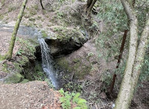
2.79 mi / 466 ft gainDawn Falls Trail Loop is a loop trail that takes you by a waterfall located near Larkspur, California.Read more -
Larkspur, California
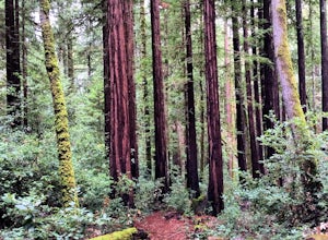
Dawn Falls Trail
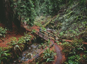
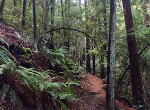
4.52.29 mi / 344 ft gainTake the Dawn Falls trail down into the Baltimore Canyon for an in-depth exploration of northern California nature. Rather than the usual dry, hardy vegetation that speckles the hills of many nearby trails, this trail is bursting with lush ferns and mossy trees as it meanders along next to Larksp...Read more -
Sausalito, California
Hawk Hill
5.00.76 mi / 144 ft gainIf you're leaving from SF, head over the bridge and exit onto Alexander Ave. Make the immediate left under the overpass and you'll be on the road to Hawk Hill. There's a parking area just below the gate leading up to Hawk Hill. From the parking lot you can walk west about ten yards along the outs...Read more -
Sausalito, California
Ninja Loop
9.37 mi / 1831 ft gainThis loop can start from several different locations, including Rodeo Beach and the Golden Gate Bridge parking lot. Starting from the GGB will add 2 more miles onto this run. I like to start at the Coastal Trailhead parking lot off of McCullough and Conzelman Roads (just a notch down from Hawk Hi...Read more -
Sausalito, California
Marin Headlands Trail Loop
10.5 mi / 1990 ft gainThis trail starts at the Coastal Trail in Marin Headlands Park, where there's a small parking lot and outhouse bathroom off the circle when coming from Conzelman Road.Take the Coastal Trail until you intersect with Bunker Road (you can even turn right and spit off the trail just before intersecti...Read more -
Larkspur, California
Baltimore Canyon Via Dawn Falls Trail Loop
5.93 mi / 1309 ft gainBaltimore Canyon via Dawn Falls Trail Loop is a loop trail that takes you through a forested setting at the start, up switchbacks to Dawn Falls, and then to views of King Mountain Open Space Preserve as you loop back along Southern Marin Line Road. This is a dog friendly (on-leash) trail located ...Read more

