Muir Beach, California
Looking for the best hiking in Muir Beach? We've got you covered with the top trails, trips, hiking, backpacking, camping and more around Muir Beach. The detailed guides, photos, and reviews are all submitted by the Outbound community.
Top Hiking Spots in and near Muir Beach
-
Larkspur, California
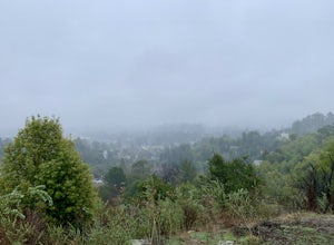
King Mountain Loop Trail
3.53 mi / 755 ft gainThis beautiful hike takes you around King Mountain and through the King Mountain Open Space Preserve. The first .5 miles is on an exposed gravel fire road that is fairly steep, but the loop itself slopes gently around the mountain and through the forest, providing lots of shade. This is a an ea...Read more -
Mill Valley, California
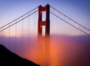
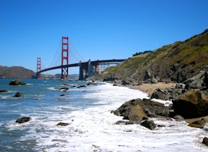
Kirby Cove
4.72 miThis scenic hike is a 1.8 mile out-and-back trail located near Sausalito, CA. From the trail and beach, you'll get scenic of the Golden Gate, San Francisco's skyline, and glimpses of the East Bay. The best news, there's rarely any crowd. Consider packing a blanket and a small picnic. With panora...Read more -
Sausalito, California
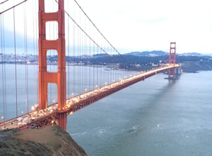
Battery Spencer
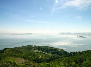
4.00.47 mi / 46 ft gainThis is a very popular spot to hike up to from Conzelman Road. You can find parking in the lot or on the street and do the quick hike up to Battery Spencer. You can get a perfect view of the Golden Gate Bridge and SF from the Marin side of the Bay. This is a unique perspective as you also get the...Read more -
Stinson Beach, California
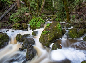
Cataract Falls
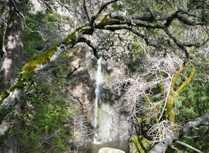
4.22.81 mi / 1184 ft gainThe Bay Area is home to many beautiful waterfalls, but Cataract Falls located about an hour north of San Francisco is one of the most stunning. Be sure to head out on this hike after a recent rain. Cataract Falls is a picturesque waterfall located in the Mt. Tamalpais Watershed near Stinson Be...Read more -
Fairfax, California
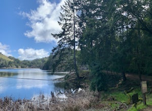
Lake Lagunitas
4.01.6 mi / 176 ft gainLocated near Fairfax, California, this trail is relatively flat and provides peaceful views of the lake as you pass over small creeks and groves of redwoods. It's good for all skill levels and is accessible year-round. It's a great trail for families and beginner mountain bikers.It can be a littl...Read more -
Corte Madera, California
Ring Mountain Loop
4.02.65 mi / 597 ft gainRing Mountain Open Space is an easy but uphill trail that take you to the top where you can explore more trails. Take the 101 exit for Paradise Dr in Corte Madera, follow the road, and park on the side of the road once you pass Westward Dr. Even though there are many places to start the trail fo...Read more -
Tiburon, California
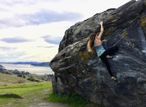
Bouldering at Ring Mountain
0.5 mi / 400 ft gainItching to climb outdoors near San Francisco? With only a quick drive from the city, Ring Mountain is a beautiful nature preserve overlooking the city of San Francisco offering two main rock formations, Turtle Rock (Pictured) and Split Rock. Split Rock is the slabby rock south of the parking ar...Read more -
Ross, California
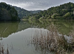
Phoenix Lake Loop
4.52.85 mi / 518 ft gainEnjoy the peacefulness of making it out to the lake for a quick hike without worrying too much about challenging climbs or difficult terrain. Take the wide fire road from the car uphill and then jump on the Phoenix Lake Trail. From here, you’ll combine this trail with the Gertrude Orr and Bill Wi...Read more -
San Francisco, California
Batteries to Bluffs Trail
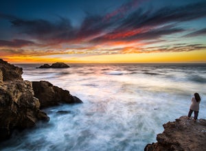
4.82.33 mi / 417 ft gainThe Batteries to Bluffs Trail in the Presidio is a true gem of San Francisco. It has everything you could want in a hike: a sea-side path along the ocean, relatively easy parking, gorgeous views of the Golden Gate Bridge, and a secluded beach that's perfect for picnics, sunbathing, and enjoying t...Read more -
San Francisco, California
Mile Rock Beach
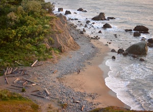
4.71.64 miThis rocky, secluded beach is tucked in along the Land’s End Coastal Trail in the Golden Gate National Recreation Area. Located 100 or so steps down from the main trail, you’ll find this mysterious little beach that will make you feel like you’re in an old pirate movie. There are a lot of logs an...Read more -
San Francisco, California
Lands End Trail
4.73.26 mi / 500 ft gainThe Lands End Trail is a 3.26 mile out-and-back hike located in the northwest corner of San Francisco along the city's rugged coastline. Offering spectacular views of the Golden Gate Bridge, Marin Headlands, and the Pacific Ocean, the hike is one of the most popular trails in San Francisco for ...Read more -
Fairfax, California
Carson Falls
4.03.75 mi / 863 ft gainAre you tired of crowds on your hikes? First, shame on you for getting up so late and moving so slowly. Did you really need Philz before you got on the trail? Ok, now that you’ve been thoroughly chastised, let’s start planning a hike to the less-frequented Carson Falls. Like any of the falls in ...Read more -
Belvedere Tiburon, California
Mt. Livermore via North Ridge Trail
4.54.92 mi / 1178 ft gainUnless you own a boat or a kayak, this adventure requires a ride on the Blue and Gold Ferry from Pier 41 in San Francisco. But let’s be honest, that’s actually half the fun. Who doesn’t love a ferry ride? Angel Island State Park is the largest island in the Bay, and recommend the 6-mile loop aro...Read more -
Tiburon, California
Angel Island Perimeter Loop
5.98 mi / 794 ft gainAngel Island Perimeter Loop is a loop trail around the circumference of the island in the San Francisco Bay. The island is located near Tiburon, California with views of downtown San Francisco, Alcatraz, the Golden Gate Bridge, Oakland, Sausalito, and TIburon as you traverse around the island. ...Read more -
San Francisco, California
Presidio Bay Area Ridge Trail
5.02.73 mi / 203 ft gainPresidio Bay Area Ridge Trail is a point-to-point trail where you may see wildflowers located near San Francisco, California.Read more -
San Francisco, California
Presidio Ecology Trail
5.01.82 mi / 427 ft gainPresidio Ecology Trail is a loop trail through the Presidio located near San Francisco, California. This loop can be started at the Upper Ecology Trail off of Arguello Blvd near Pacific or down at the Lower Ecology Trail near the Inn at the Presidio. This trail is dog friendly on-leash.Read more

