Escondido, California
Looking for the best hiking in Escondido? We've got you covered with the top trails, trips, hiking, backpacking, camping and more around Escondido. The detailed guides, photos, and reviews are all submitted by the Outbound community.
Top Hiking Spots in and near Escondido
-
San Diego, California
Hike to the Rope Swing in Tecolote Canyon
4.04.4 miTecolote Canyon offers a great opportunity to explore nature right in the heart of San Diego, whether it is a hike, run, or bike ride on the trails. But the best kept secret is perhaps a rope swing over the creek! The main trail starts off at Tecolote Canyon Natural Park & Nature Center, wh...Read more -
Temecula, California
Dripping Springs Trail
4.013.68 mi / 3287 ft gainThe trail immediately begins to climb out of the campground on a well-graded incline. The next mile contains some climbing leading to a set of switchbacks. A long strenuous climb ensues until the 3200' elevation is reached. The trail then makes an easy southward traverse to the basin before resum...Read more -
Aguanga, California
Vail Lake Loop
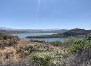
4.07.25 mi / 922 ft gainVail Lake Loop is a loop trail that takes you by a lake located near Temecula, California.Read more -
Santa Ysabel, California
Three Sisters Falls
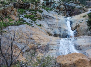
4.93.42 mi / 906 ft gainThree Sisters Falls is by far the best hike, for the most reward, that I've gone on in the close vicinity of San Diego. Only a short hour and a half drive from downtown San Diego, the hike offers all the draws of a National Park: remote wilderness, strenuous hiking, scenic mountain views, and ama...Read more -
San Diego, California
Old Town San Diego State Historical Park
4.51 miFrom where Father Junipero Serra established the first of 21 California Missions in 1769, this area was the first permanent European settlement in the San Diego region. Today, past and present meet in a preserved historical park located near Downtown San Diego. You can explore life as it was in ...Read more -
San Diego, California
Balboa Park Loop
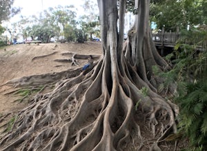
4.64.34 mi / 226 ft gainThe Balboa Park Trail offers the chance to see wildlife and is open year-round. The trail is shared by runners, families, hikers, and bikers. Dogs are able to use the trail but must be kept on leash. There is a dog park you will pass by.Read more -
San Diego, California
Seven Bridge Walk Loop
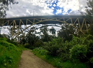
5.05.75 mi / 217 ft gainThe Seven Bridge Walk is a 5.2 mile loop through urban San Diego with scenic views, neat bridges, and gorgeous palm trees. Dogs are allowed on the trail, and the loop is perfect for families and all skill levels. On a Sunday, you will go through the Hillcrest farmers market - a great spot for cof...Read more -
Warner Springs, California
Eagle Rock via the Pacific Crest Trail
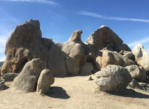
5.06.2 mi / 807 ft gainWith doing more hikes in the SoCal area, I've realized half the battle is just trying to find the damn trailhead.Technically you have 2 ways to enter this trail ... Start from 79 and add a very enjoyable extra 3ish miles, or start from the Warner Springs Fire Station, for a total 7 mile hike.We c...Read more -
Julian, California
Volcan Mountain Trail
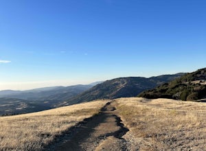
4.82 mi / 1270 ft gainVolcan Mountain Trail located near Julian, California is a moderate day hike. This well-maintained trail offers beautiful views, but keep in mind there isn't too much sun protection, so be sure to pack plenty of water and coverage on sunnier days. Dogs are permitted on the trail on a leash.Read more -
San Diego County, California
Camp On the Abandoned Santa Margarita Lookout Helipad
4.3Starting in Murrieta, CA you don't have to venture far to enjoy a beautiful view and less light polluted skies.From Murrieta on the I-15 freeway you're going to want to take the Clinton Kieth Road exit and head west. If you're low on gas make sure to fill up at the 7 Eleven on the left corner. Th...Read more -
Jamul, California
Hike Mt. McGinty
4.8 mi / 1263 ft gainBalancing a good workout, gorgeous views, and minimal time commitment, these 4.8-mile steep trail is definitely a San Diego point of interest, and despite its proximity to the city of San Diego, it remains a low trafficked hike. The Hike: Right away the trail weaves you through beautiful vegetati...Read more -
Julian, California
Hike Stonewall Peak
4.73.82 mi / 820 ft gainThis hike is one of the most popular in the Cuyamaca Rancho State Park. When you reach Stonewall Peak's summit, enjoy the view of the surrounding park and nearby Lake Cuyamaca. The hike up the east side is a popular and relatively easy trail. Although you'll be gaining 800 feet, the hike is relat...Read more -
Julian, California
Hike Cuyamaca Peak
4.55.5 mi / 1700 ft gainThis peak is one of the tallest in the county. Reaching the summit of the peak takes you to an elevation of 6500'. Although this peak isn't as challenging as others nearby, it's located in the center of San Diego, which offers up amazing views, which is the main reason to take this hike. The best...Read more -
Chula Vista, California
Hike Mother Miguel Mountain
5.04.5 mi / 977 ft gainAt the summit, your work will be rewarded with stunning views from downtown San Diego all the way to Mexico. You can also see the surrounding mountain peaks and the Sweetwater Reservoir. This is a great hike to do at sunset - but bring a headlamp / flashlight for the hike back down. This trail i...Read more -
San Diego, California
Explore Cabrillo National Monument
4.5Cabrillo National Monument is named after Juan Rodriguez Cabrillo, the first European explorer to reach America's Wet Coast. There are many knowledgable rangers in the park who are eager to share interesting historical facts. Activities in the park include hiking: the Bayside Trail offers 2 mile...Read more -
San Diego, California
Bayside Trail
4.01.99 mi / 397 ft gainThe Bayside Trail features beautiful spring wild flowers and is accessible year-round. The trail is wide with a few rest stops and benches along the way. The trail is breezy, much cooler than many trails inland, featuring ocean views throughout the duration. This monument commemorates the landi...Read more

