Escondido, California
Looking for the best running in Escondido? We've got you covered with the top trails, trips, hiking, backpacking, camping and more around Escondido. The detailed guides, photos, and reviews are all submitted by the Outbound community.
Top Running Spots in and near Escondido
-
Escondido, California
Bernardo Mountain Summit Trail
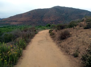
5.07.15 mi / 1060 ft gainBernardo Mountain is located on the Coast to Crest Trail in San Dieguito River Park. The 7.15-mile out-and-back trail to the 1060 ft. summit starts on the east side of I-15. It's a relatively easy hike all the way to the top. It picks up a little once you make it to the Summit Trail junction, wh...Read more -
San Diego, California
Battle Mountain's Cross
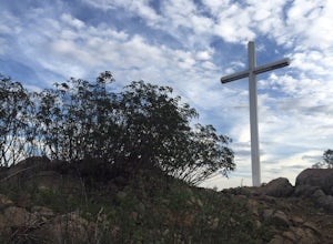
5.00.45 mi / 256 ft gainThis is a quick and easy hike for everyday explorers desiring a 20-minute sweat-inducing power walk leading to incredible views of urban development, Iron Mountain, Mt. Woodson, Mule Hill, and The 15. Come enjoy the views while sitting under the beautiful 20ft cross you've been admiring from the ...Read more -
San Diego, California
Black Mountain Peak via Miner's Ridge Loop Trail
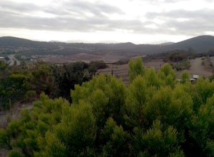
2.54.3 mi / 951 ft gainThe Miner's Ridge Loop Trail is a relatively mild 4.3-mile loop that takes you to the 1554-foot summit of Black Mountain Peak. Even from the parking lot, the views to the east are stunning. Get there early in the morning on a clear day, or arrive just before sunset to get the full experience. T...Read more -
Encinitas, California
Grandview Beach
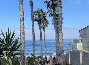
5.03 miGrandview Beach is a great spot for surfing when conditions line up (see Surfline). it's also an ideal spot to kick back and relax (bring your whole fam, dogs too). If you're looking for a little fitness, you can start at either Grandview Beach and head south along the beach to the San Elijo la...Read more -
San Diego, California
Beach Trail
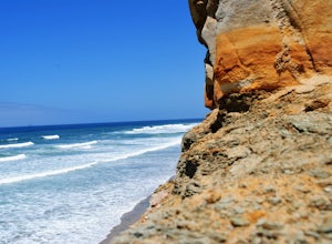
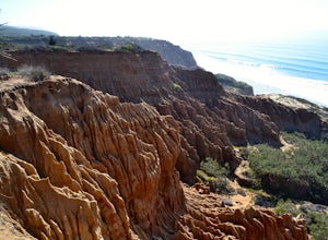
5.01.43 mi / 259 ft gainI'm stoked for those of you to find this adventure! Torrey Pines is home to a species of tree that is one of the most rare native pines in the United States. Below I have directions on how to get to the trailhead as well as the parking lot to park for the hike. There is a charge to get into the...Read more -
San Diego, California
Razor Point Trail
1.32 mi / 240 ft gainRazor Point Trail is an out-and-back trail that takes you past scenic surroundings located near La Jolla, California.Read more -
Oceanside, California
Bike or Skate the Strand
4.01 mi / 0 ft gainOceanside's iconic Strand is a 1 mile long ocean-front road that is perfect for cycling, walking, and running. At various points it is one way or pedestrian only, and is a must-do for any visitors to Oceanside.From the north The Strand begins at Breakwater Way and heads south underneath The Ocean...Read more -
San Diego, California
Hike the Rose Canyon Trail
3.58.9 mi / 725 ft gainThis hike is open year-round but is especially beautiful in the spring when the wildflowers are blooming and the spring is running. This trail offers good entry level mountain biking, with mostly flat well maintained trails and a couple of challenging but doable hills.Read more -
San Diego, California
South Fortuna Mountain
5.04.59 mi / 997 ft gainHiking at sunset/night is a great way to beat both the heat and the crowds. On a clear day, you can see from Mexico to Catalina Island! If you stay long enough, you can see all of San Diego's city lights turn on, or the marine layer fog creeps into the canyons. South Fortuna Peak is part of Miss...Read more -
San Diego, California
Visitor Center Loop Trail
5.01.46 mi / 148 ft gainThe Visitor Center Loop Trail is a 1.4 mile hike in San Diego that features river views and allows dogs.The Visitor Center Loop Trail is a well maintained, quick hike with shady spots scattered along the path and open year-round. This trail is great for kids and dog owners. There is a great netwo...Read more -
San Diego, California
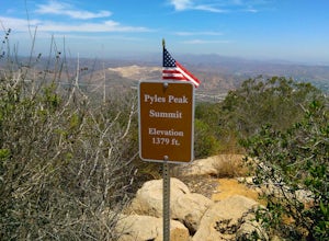
Pyles Peak
5.06.03 mi / 1706 ft gainMost people who live in San Diego have heard of, if not hiked, Cowles Mountain. At 1591 ft., Cowles is the highest peak in the city of San Diego. It's a hugely popular destination for day hikers and trail runners looking to get in a little trail time and take in the 360 degree views the summit h...Read more -
Santa Ysabel, California
Hiking in Santa Ysabel
3.0Starting at the trailhead on Hwy 79, enter through the gate and make sure to close it behind you - the preserve is open range area for herds of cows, make sure not to disturb them when hiking. From the gate you'll see the sign with a detailed map of trails that are available for hiking. The trail...Read more -
San Diego, California
Hike to the Rope Swing in Tecolote Canyon
4.04.4 miTecolote Canyon offers a great opportunity to explore nature right in the heart of San Diego, whether it is a hike, run, or bike ride on the trails. But the best kept secret is perhaps a rope swing over the creek! The main trail starts off at Tecolote Canyon Natural Park & Nature Center, wh...Read more -
Aguanga, California
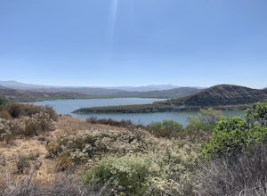
Vail Lake Loop
4.07.25 mi / 922 ft gainVail Lake Loop is a loop trail that takes you by a lake located near Temecula, California.Read more -
San Diego, California
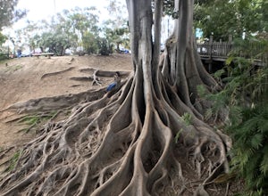
Balboa Park Loop
4.64.34 mi / 226 ft gainThe Balboa Park Trail offers the chance to see wildlife and is open year-round. The trail is shared by runners, families, hikers, and bikers. Dogs are able to use the trail but must be kept on leash. There is a dog park you will pass by.Read more -
Warner Springs, California
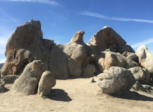
Eagle Rock via the Pacific Crest Trail
5.06.2 mi / 807 ft gainWith doing more hikes in the SoCal area, I've realized half the battle is just trying to find the damn trailhead.Technically you have 2 ways to enter this trail ... Start from 79 and add a very enjoyable extra 3ish miles, or start from the Warner Springs Fire Station, for a total 7 mile hike.We c...Read more

