Benton, California
The best Trails and Outdoor Activities in Benton, California offer a unique blend of scenic beauty and physical challenge. One of the top trails to explore is the Benton Hot Springs Loop. This 5-mile trail is moderately difficult and rewards hikers with views of the stunning White Mountains and the Owens Valley. Along the trail, you'll encounter unique rock formations and the bubbling Benton Hot Springs, a must-visit attraction. For those seeking more outdoor adventures, the nearby Fish Slough Petroglyphs are a fascinating site of ancient art etched into volcanic rock. Benton, California is a gem for those who appreciate scenic landscapes and the joy of outdoor activities.
Top Spots in and near Benton
-
Mammoth Lakes, California
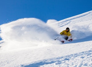
Ski and Snowboard Mammoth
5.0At 11,053 feet, Mammoth boasts the highest summit of any California resort, making for deeper, higher quality snow, beautiful views and a season that can last until July. And with 3,500 skiable acres, 400 inches of snowfall and an average of 300 days of sunshine per year, we enjoy re-earning our...Read more -
Mammoth Lakes, California
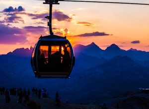
Take the Panorama Gondola to the Summit of Mammoth Mountain
3.5The summit of Mammoth at 11,053 feet provides one of the most stunning views you'll find in California. Take a scenic trip up the Panorama Gondola for a 360 degree vista of Sierra Nevada peaks and a commanding view of the San Joaquin River Valley below. Grab a lunch at the cafe at the top, then v...Read more -
Mammoth Lakes, California
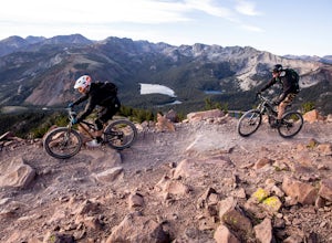
Ride Mammoth's Bike Park
4.5Mammoth Mountain Bike Park offers terrain for every ability level, boasting 3,500 acres and over 80 miles of single track. We offer the best beginner experience in the industry with the Discovery Zone, miles and miles of forested intermediate trail riding and are the leaders in building diverse a...Read more -
Mammoth Lakes, California
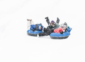
Tubing at Woolly's Tube Park
There probably isn't a more fun way to goof around and play in the snow. And we take it up a notch - skip the hiking, and catch a lift to the top, then bomb down as fast as you dare in one of our high-speed snow tubes. (Children must be 42" to tube.)Highlights include everything you could be look...Read more -
Mammoth Lakes, California
Romantic Sunset Snowcat Tour
Take a ride in a snowcat for one of the most unique excursions in the Eastern Sierra. Experience the sights and sounds of the backcountry in the heated comfort of a luxury snowcat.After a day on the slopes, celebrate a spectacular view over the Ritter Range and the Minarets with a champagne toast...Read more -
Mammoth Lakes, California
Cross Country Skiing at Mammoth Mountain
5.0Slip away to a scenic winter wonderland. Leave it all behind and explore the Mammoth Lakes Basin on Nordic skis or snowshoes. Rentals, lessons and guided tours are available from Tamarack Cross Country Ski Center so you can experience the serene beauty of alpine lakes and ancient forests on over ...Read more -
Mammoth Lakes, California
Crystal Lake via Mammoth Crest Trail
4.82.5 mi / 1257 ft gainIn Lake George, park along Lake George Road and walk towards Crystal Crag Trailhead sign to begin the hike. If you couldn't find it, you can head to the boat rentals by the lake and you will see a sign saying trailhead is behind you. The trail is well maintained and it is really easy to follow. ...Read more -
Mammoth Lakes, California
Lake George Trail
5.01.34 mi / 89 ft gainThe Lake George Loop is perfect for exploring the shoreline and fishing near the top of the Mammoth Lakes wilderness. The lake can get quite cold due to the elevation and surrounding mountains not allowing the sun to hit it for an extended time, but if you go during mid-day you should have a refr...Read more -
Mammoth Lakes, California
McLeod Lake
5.01.84 mi / 390 ft gainStart your journey at the Mammoth Pass Trailhead at the back of the parking lot for Horseshoe Lake. From the start, the trail ascends steadily through dense pines, and big granite stair steps. Although it is a moderately steep route (and the altitude doesn't help), it is only about 0.6 miles to ...Read more -
Mammoth Lakes, California
Backpack from Mammoth Mountain to Yosemite Valley via the John Muir Trail
5.052 mi / 6300 ft gainCross country hiking can be a daunting idea. There are so many things to plan for, and such a long distance to cover. If you are an experienced backpacker, and you want to get a taste of hiking on the John Muir Trail this hike might interest you. Planning GPS Map (Caltopo): https://caltopo.com...Read more -
June Lake, California
Gull Lake Loop
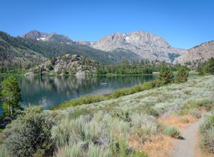
1.97 mi / 174 ft gainGull Lake trail is one of my favorite hiking spots in the June Lake Loop area. It is a very scenic trail that goes through varying terrains from meadows to marshes to aspen and conifer groves. Trailhead starts at the Mono County Community Center and winds counter-clockwise around the lake to th...Read more -
Bishop, California
Buttermilk OHV Road
5.014.73 mi / 2802 ft gainButtermilk OHV Road is a point-to-point trail that provides a good opportunity to see wildlife located near Bishop, California.Read more -
Bishop, California
Hike Pine Creek Pass to Lower Pine Lake
10 mi / 2500 ft gainThe Pine Creek Pass is usable for day hiking and overnight adventures. If you'd like to spend the night, be sure to pickup a wilderness permit! If you plan to bring a four legged friend, make sure to indicate that on your wilderness permit request. There are several lakes you can stop at througho...Read more -
Inyo County, California
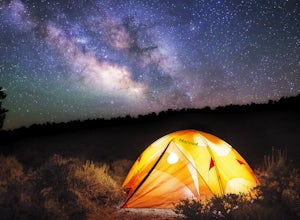
Camp in Ancient Bristlecone Pine Forest
4.0The Ancient Bristlecone Pine Forest is located in Central California quite close to the Nevada Border in the White Mountains. A short drive South from Bishop, you will come to the small town of Big Pine where there are signs leading you left on HWY 168 to the forest. You will need a decent vehicl...Read more -
Inyo County, California
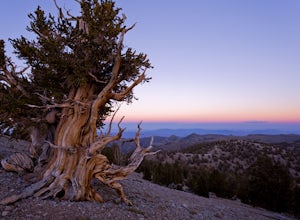
Photograph the Bristlecone Pine Forest
5.0To get to the goods head east out of Big Pine, CA on Hwy 168 into the mountains for 13 miles. Turn left (north) on White Mountain Road to the Bristlecone Pine Forest. The road winds through a beautiful forest of Pinyon Pines and Western Junipers and leads to amazing views of the rugged Sierras. ...Read more -
Inyo County, California
Schulman Grove and Methuselah Grove Loop
5.05.14 mi / 1070 ft gainThe Schulman Grove and Methuselah Grove Loop in the Ancient Bristlecone Pine Forest, located in the White Mountains, is where the 4,847-year-old Methuselah tree grows, the oldest living non-clonal organism in the world. If you're going to make hiking the Methuselah Grove more than a day trip and ...Read more

