Benton, California
Looking for the best rock climbing in Benton? We've got you covered with the top trails, trips, hiking, backpacking, camping and more around Benton. The detailed guides, photos, and reviews are all submitted by the Outbound community.
Top Rock Climbing Spots in and near Benton
-
Mono County, California
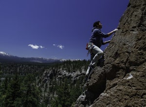
Rock Climbing at Clark Canyon
5.0Good quality volcanic tuff? That may somewhat of a contradiction, but nevertheless, Clark Canyon is indeed one of the best pocketed playgrounds in the Mammoth area.Be advised, however, that it is a little tricky getting there, and in certain spots you may need high clearance (a Prius won't make i...Read more -
Lee Vining, California
Hike Panum Crater Trail
3.3 mi / 874 ft gainIf you are visiting Mono Lake, the Panum Crater Trail is not to be missed! From 395, take highway 120 east for about 2.5 miles. Look for a small wooden sign for Panum Crater and turn left onto a dirt road. If you reach the turn-off to the South Tufa Area, you have gone too far! After about a mile...Read more -
Bishop, California
Camp at Pleasant Valley Pit
3.5Pleasant Valley Pit offers 75 sites, fires outside camping area need a permit, a dumpster is in the campground, 4 vault toilets, no water, some tables, fire rings. To get here, head 0.5 miles off of the Pleasant Valley Road. $2 per vehicle. Learn more at blm.govThis campground is dog-friendly, bu...Read more -
Madera County, California
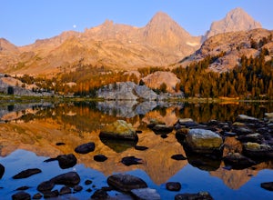
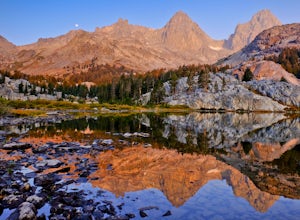
Ediza Lake via Agnew Meadows
4.013.54 mi / 1804 ft gainStart at the Agnew Meadows Trailhead. You will need to arrive before 7:30AM or take the Shuttle from Mammoth Mountain. Start out by heading north on the John Muir Trail. You will pass Shadow Lake; walk around the south side of the lake for mountain views. Then, follow the trail up Shadow Creek u...Read more -
Madera County, California
Climb Mount Ritter
Mt Ritter is a long climb, but it is worth the effort. Start out by establishing camp at Ediza Lake prior to your ascent. The SE Glacier route (first ascent by John Muir) follows the path of least resistance up the SE side of Mt Ritter.The route first gains a broad bench below Ritter and Banner P...Read more -
Bishop, California
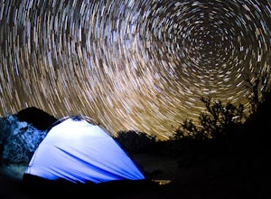
Photography in the ButterMilks
5.0The Eastern Sierras have some of the most spectacular views in the world. This area in particular is known for its rock climbing. It also has amazing opportunities for photographers.The nights during a new moon are incredibly dark and create great astro photography shots. During the day, the l...Read more -
Bishop, California
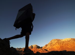
Bouldering In The Buttermilks
5.0The Buttermilks is a historical climbing area that is home to some of the worlds most famous rock climbs. It is located at the base of the Eastern Sierras near Bishop, CA. In this region there are 3 main bouldering areas: The Happies, The Sads, and The Buttermilks.The Buttermilks are massive gr...Read more -
Lee Vining, California
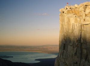
Climb the Third Pillar of Dana
From Highway 120 (Tioga Road) you can park at the lot just above Tioga Lake. Another mile up the road is the Yosemite entrance, so if you hit that, you've gone too far. Follow the trail around the south side of the lake and into Glacier Canyon. After about 2 miles you'll start scrambling on the N...Read more -
Lee Vining, California
Climb North Peak via the NW Ridge
DirectionsAlthough North Peak lies right on the border of Yosemite, the hike starts just outside the park at the Saddle Bag Lake trail-head. There are also some campsites here if you wish to spend the night, but I think they are usually in high demand and hard to come by. To get to Saddlebag Lak...Read more -
YOSEMITE NATIONAL PARK, California
Mt. Conness
5.019.03 mi / 5400 ft gainThis trip is best done as a 3 day, 2 night backpacking trip making camp at Young Lakes, however it is possible to do it in a single day long haul. Start at the Lembert Dome Parking Lot and take the trail via the Dog Lake route towards Young Lakes. It's about 7 miles to the upper of the three You...Read more -
Tuolumne County, California
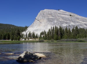
Rock Climb Lembert Dome, Yosemite NP
Lembert Dome stands out clearly as it is right along the road with a fairly large parking lot, about 1/4 mile past the Toulumne Store. There are multiple routes on this dome and for detail on all climbs, pick up the Tuolumne Free Climbs climbing guide. The area around this dome is gorogeous with ...Read more -
YOSEMITE NATIONAL PARK, California
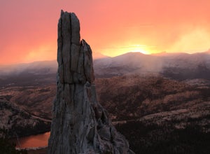
Scramble Yosemite's Cathedral Peak
3.0Start at Toulumne Meadows (8000 ft), and take the John Muir Trail, on the south side of Tioga Road. After about 1 mile, an unmarked trail will appear on your left – it is a less-traveled path, primarily taken by climbers. This trail will lead you away from Cathedral Lake to the back of Cathedral ...Read more

