Benton, California
The best Trails and Outdoor Activities in Benton, California offer a unique blend of scenic beauty and physical challenge. One of the top trails to explore is the Benton Hot Springs Loop. This 5-mile trail is moderately difficult and rewards hikers with views of the stunning White Mountains and the Owens Valley. Along the trail, you'll encounter unique rock formations and the bubbling Benton Hot Springs, a must-visit attraction. For those seeking more outdoor adventures, the nearby Fish Slough Petroglyphs are a fascinating site of ancient art etched into volcanic rock. Benton, California is a gem for those who appreciate scenic landscapes and the joy of outdoor activities.
Top Spots in and near Benton
-
Mono County, California
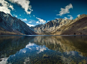
Fishing at Convict Lake
4.3Many people come to Convict lake for the fishing. Convict is located only 2 miles off the main highway in the Eastern Sierras. The lake is clear and pristine with beautiful views. There are various ways to fish here; some rent out boats or bring their own and cruise around the lake fishing. O...Read more -
Mono County, California
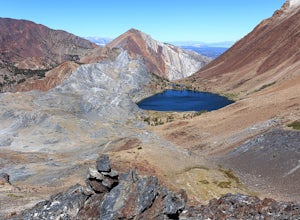
Summit Mount Baldwin (12,614')
15 mi / 5000 ft gainDirections The hike for Mount Baldwin starts at the Convict Lake trailhead. The turn off for Convict lake is about 4.5 miles south of the Mammoth Lakes exit along the 395 and roughly 35 miles North of Bishop, CA. Take this exit and follow the road West towards the mountains. Turn right at the ...Read more -
Mammoth Lakes, California
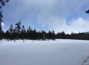
Snowshoe Shady Rest Park
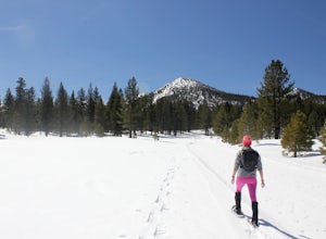
2 mi / 100 ft gainShady Rest Park is located on Sawmill Road just minutes from the Mammoth Lakes town center. Start off by crossing through the parking lot headed north towards the large open field covered in snow. The open field is a great place to walk around and become comfortable with wearing and walking in sn...Read more -
Mammoth Lakes, California
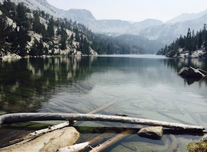
Valentine Lake via Sherwin Lakes Trail
5.09.76 mi / 2026 ft gainPark at the Sherwin Lakes Trailhead. Begin your ascent through scrubby foliage and old pines. Once you arrive at a junction with a bench, turn around. Note that the uphill climb is pretty decent past Sherwin Lakes, so if you're feeling overly winded after the arriving at these lakes, this may be...Read more -
Mammoth Lakes, California
Sherwin Lakes Trail
5.04.42 mi / 850 ft gainJust outside the town of Mammoth Lakes, CA is the Sherwin Lakes Trailhead. An easy 10 minute drive down some dirt roads will get you to the dirt parking lot where you can safely leave your vehicle and begin your fairly easy 2.5 mile hike to Sherwin Lakes. (Valentine Lake is not much further beyon...Read more -
Mammoth Lakes, California
Relax at Laurel Lakes
0 mi / 0 ft gainThe Laurel Lakes trip, just south of Mammoth Lakes, is a worthwhile day trip that can easily be made into a hiking/camping trip.To get there, make your way to Laurel Lakes Rd via Sherwin Creek Rd either from Old Mammoth Rd or from the 395. The road to the lakes is not too bad initially but you'll...Read more -
Mono County, California
Snowshoe the Obsidian Dome Trail
6 mi / 300 ft gainThe Obsidian Dome Trailhead provides access to a large network of winter hiking trails through Inyo National Forest. These are marked trails that are groomed on an intermittent basis by the National Forest Service. To find the trailhead and parking area, drive north on highway 395 from Mammoth La...Read more -
Mammoth Lakes, California
Lake Basin Path
5.04.43 mi / 554 ft gainLake Basin Path is an out-and-back trail where you may see beautiful wildflowers located near Mammoth Lakes, California.Read more -
Mammoth Lakes, California
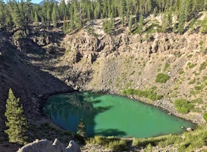
Inyo Craters Trail
4.01.51 mi / 253 ft gainInyo Craters Trail is a loop trail that is good for all skill levels located near Mammoth Lakes, California.Read more -
Mono County, California
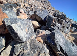
Obsidian Dome Trail
3.01 mi / 75 ft gainObsidian Dome Trail is an out-and-back trail that provides a good opportunity to view wildlife located near June Lake, California.Read more -
Bishop, California
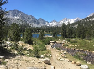
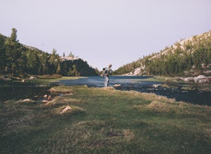
Hike to Little Lakes Valley in the John Muir Wilderness
5.03.2 mi / 300 ft gainThe Little Lakes Valley located in the John Muir Wilderness provides easy access to spectacular views of High Sierra peaks as well as a long list of beautiful alpine lakes.The area is accessed via the Mono Pass Trail starting from Mosquito Flat/Little Lakes Trailhead. From the trailhead at the e...Read more -
Bishop, California
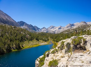
Hike Morgan Pass to 7 Scenic Lakes
5.010 miTake the 395 North for 20 miles past Bishop and make a left on Rock Creek Road. Follow this road for 10 miles until you reach the free parking area at the Mosquito Flats Trailhead. Even on a holiday weekend, finding parking wasn’t a problem. The trailhead offers easy access to bathrooms and bear ...Read more -
Bishop, California
Fish for a Sierra Grand Slam in Little Lakes
Access to this relatively mellow (for the Sierras) trail can be reached via Rock Creek Road off of Highway 395, north of the town of Bishop, California. Following Rock Creek road southwest until its terminus will take you directly to the parking lot and signed trailhead for Little Lakes Valley.Fr...Read more -
Bishop, California
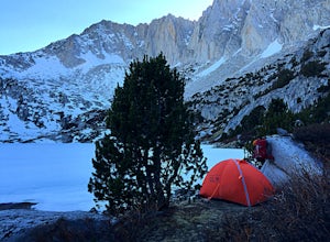
Backpack to Ruby Lake
5.04 mi / 1000 ft gainAt 10,200 feet, the trailhead (Little Lakes Valley) for Ruby Lake is one of the highest (if not the highest) in the Sierra. Meaning you get right to the heart of the mountains quickly. Ruby Lake itself is at 11,200 feet elevation.How to get there: At Tom's Place off of Hwy 395, turn southwest int...Read more -
Mammoth Lakes, California
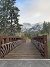
Waterford Bridge
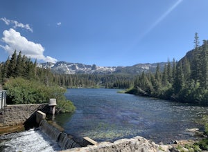
The Waterford Gap bridge creates a picturesque view of the Eastern Sierra as it crosses over Mammoth Creek as part of the town loop and connects Majestic Pines Dr, which runs up to Eagle Lodge, with old Mammoth Road, which is a main road along the south and east edges of town. This is a great spo...Read more -
Bishop, California
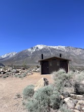
BLM Horton Creek Campgrounds
Great find! Close to Buttermilks and town. Clean vault toilets but bring your own water. The time we went there the pumps were not working. Each site has fire rings, picnic tables and latern hooks. It can get pretty windy and exposed, so bring the appropriate gear. The campground has 49 tent/RV ...Read more

