Benton, California
Looking for the best hiking in Benton? We've got you covered with the top trails, trips, hiking, backpacking, camping and more around Benton. The detailed guides, photos, and reviews are all submitted by the Outbound community.
Top Hiking Spots in and near Benton
-
Dyer, Nevada
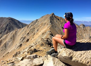
Hike Boundary Peak
5.010.4 mi / 4000 ft gainBoundary Peak received its name because it straddles the border of California and Nevada. While technically in Nevada, just a few hundred feet away lies its taller neighbor Montgomery Peak (13,442') in California. Many people bag both peaks at once, but the rotten rock and unstable trail make Mon...Read more -
Benton, California
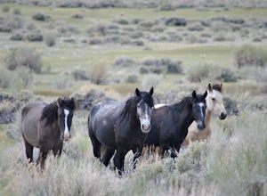
Photograph Wild Mustangs in Mono County
Since these are wild horses, tracking them can be difficult. However, they tend to play and graze in a certain field in Mono County, right outside of Mammoth Lakes and Yosemite! From CA-395 turn onto CA-120 towards Mono Lake. Take this road for 21 miles until you reach Dobie Meadows Road, a one l...Read more -
Mammoth Lakes, California
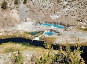
Hot Creek Interpretive Trail
5.00.37 mi / 69 ft gainHot Creek Interpretive Trail is a loop trail that takes you by a hot springs and good for all skill levels located near Mammoth Lakes, California.Read more -
Bishop, California
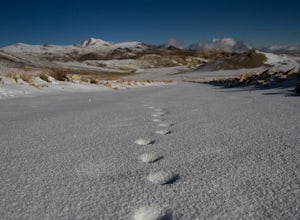
Climb White Mountain Peak
4.314 mi / 2000 ft gainNot surprisingly, White Mountain Peak is the apex of the White Mountains, which rise out of the desert floor just north of Death Valley. The White Mountains were aptly named as they are frequently covered in snow.The trailhead starts at 12,000ft and winds it's way over a few hills before the fina...Read more -
Bishop, California
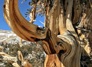
Patriarch Grove Trail
0.44 mi / 95 ft gainPatriarch Grove Trail is a loop trail where you may see wildflowers located near Bishop, California.Read more -
Mammoth Lakes, California
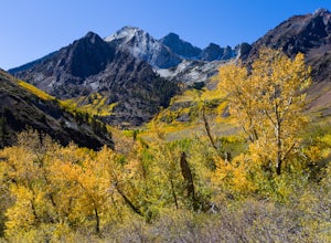
Photograph the Fall Colors of McGee Creek
5.03 mi / 500 ft gainMcGee Creek is one of my favorite spots in the Eastern Sierra to photography the fall color. Most people avoid the area because the best views require you to hike and explore but the rewards are worth it. Right close to the parking lot is McGee Creek which is a beautiful creek to photograph offer...Read more -
Mammoth Lakes, California
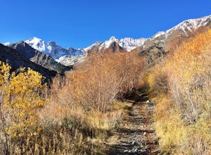
Hike to Steelhead Lake through McGee Creek Canyon
5.011.5 mi / 2510 ft gainWhether you’re looking for a dayhike near Mammoth Lakes, planning a backpacking trip along the JMT, or have a few extra hours to spare on a cross-California road trip, this is an easy and popular trail choice for killer mountain views.I was delighted to discover that this is one of the most easil...Read more -
Mammoth Lakes, California
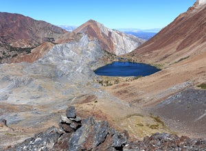
Backpack to Red Slate Mountain
22 mi / 5600 ft gainI would recommend you spend the night in the area to acclimatize, since the trailhead does start at ~8,000ft and you will be hiking up to ~10,500ft at the end of the first day and climbing up to 13,100ft on the second day. One option would be to reserve a spot at the nearby McGee Creek Campground...Read more -
Mammoth Lakes, California
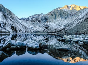
Convict Lake
4.92.46 mi / 56 ft gainIn 1871, a group of inmates escaped from a prison and were ambushed near the lake by a posse who had tracked them down. The inmates escaped the shoot out after killing two of the men in the posse and the lake now had a name – Convict Lake. You won’t witness a wild west shootout here, but if you ...Read more -
Mono County, California
Summit Mount Baldwin (12,614')
15 mi / 5000 ft gainDirections The hike for Mount Baldwin starts at the Convict Lake trailhead. The turn off for Convict lake is about 4.5 miles south of the Mammoth Lakes exit along the 395 and roughly 35 miles North of Bishop, CA. Take this exit and follow the road West towards the mountains. Turn right at the ...Read more -
Mammoth Lakes, California
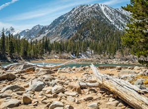
Valentine Lake via Sherwin Lakes Trail
5.09.76 mi / 2026 ft gainPark at the Sherwin Lakes Trailhead. Begin your ascent through scrubby foliage and old pines. Once you arrive at a junction with a bench, turn around. Note that the uphill climb is pretty decent past Sherwin Lakes, so if you're feeling overly winded after the arriving at these lakes, this may be...Read more -
Mammoth Lakes, California
Sherwin Lakes Trail
5.04.42 mi / 850 ft gainJust outside the town of Mammoth Lakes, CA is the Sherwin Lakes Trailhead. An easy 10 minute drive down some dirt roads will get you to the dirt parking lot where you can safely leave your vehicle and begin your fairly easy 2.5 mile hike to Sherwin Lakes. (Valentine Lake is not much further beyon...Read more -
Mammoth Lakes, California
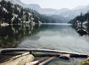
Relax at Laurel Lakes
0 mi / 0 ft gainThe Laurel Lakes trip, just south of Mammoth Lakes, is a worthwhile day trip that can easily be made into a hiking/camping trip.To get there, make your way to Laurel Lakes Rd via Sherwin Creek Rd either from Old Mammoth Rd or from the 395. The road to the lakes is not too bad initially but you'll...Read more -
Mono County, California
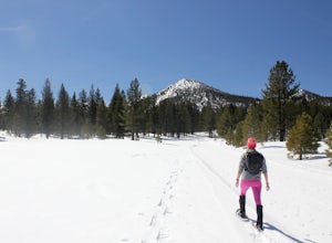
Snowshoe the Obsidian Dome Trail
6 mi / 300 ft gainThe Obsidian Dome Trailhead provides access to a large network of winter hiking trails through Inyo National Forest. These are marked trails that are groomed on an intermittent basis by the National Forest Service. To find the trailhead and parking area, drive north on highway 395 from Mammoth La...Read more -
Mammoth Lakes, California
Inyo Craters Trail
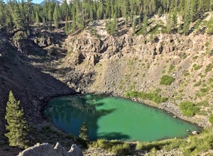
4.01.51 mi / 253 ft gainInyo Craters Trail is a loop trail that is good for all skill levels located near Mammoth Lakes, California.Read more -
Mono County, California
Obsidian Dome Trail
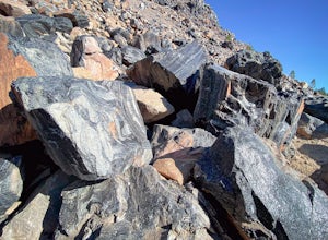
3.01 mi / 75 ft gainObsidian Dome Trail is an out-and-back trail that provides a good opportunity to view wildlife located near June Lake, California.Read more

