Coconino County, Arizona
Looking for the best photography in Coconino County? We've got you covered with the top trails, trips, hiking, backpacking, camping and more around Coconino County. The detailed guides, photos, and reviews are all submitted by the Outbound community.
Top Photography Spots in and near Coconino County
-
Winslow, Arizona
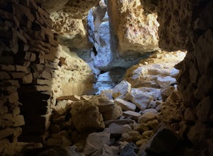
Apache Death Cave
0.42 mi / 23 ft gain...Just off Highway 40 in-between Flagstaff and Winslow Arizona, sits an abandoned ghost town called "Two Guns". I can't tell you how many times I've driven on the 40 (East or West) and had no idea this was here. This time around I made it a priority to stop and check this place out. For anyone t...Read more -
Flagstaff, Arizona
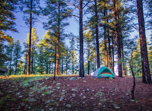
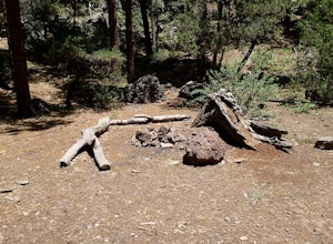
Camp at Pine Grove Campground
Pine Grove Campground in Flagstaff Arizona is a hidden gem. Upper and Lower Lake Mary, Ashurst, Marshall and Kinnikinick lakes are nearby and can provide ample recreational activities.The campsites are clean and have all the luxurious amenities (Coin-operated showers, tables, fire rings and cooki...Read more -
Flagstaff, Arizona
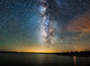
Camp at Ashurst Lake
Ashurst Lake is South East of Flagstaff and not too far from Mormon Lake. It's an easy drive that any car can do. There is a a short section of well-maintained dirt road. Keep in mind the current fire regulations for the area as well as the lake's water level if you're panning to launch your boat...Read more -
Grand Canyon Village, Arizona
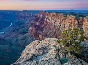
Camp at Mather Campground, Grand Canyon NP
4.5Mather campground provides forest camping at its best while visiting the beautiful South Rim of the Grand Canyon. Spacious RV, tent, group and even horse sites are available in this well kept facility. The area also provides clean restrooms, water, dump station and showers (additional cost) if yo...Read more -
Grand Canyon Village, Arizona
Plateau Point via Bright Angel Trail
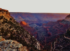
4.812.27 mi / 3000 ft gainStart off at Bright Angel Trailhead, then hike down into the Grand Canyon on one of the higher-quality trails. Hiking down to Plateau Point (furthest option) is well worth it. The hike down is a total of 6 miles, with a 3,000 foot drop in elevation. As you can imagine, this means the way back ou...Read more -
Grand Canyon Village, Arizona
Explore the Grand Canyon in Winter
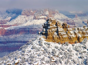
4.7From snow-dusted red rocks to dramatically painted evening skies, winter brings out a side of the Grand Canyon that is rarely seen at other times of the year. Skip the massive crowds and have your choice of driving your own car from lookout point to lookout point or taking the shuttle from the we...Read more -
Grand Canyon Village, Arizona
Backpack the Bright Angel Trailhead to Indian Garden Campground
4.08.98 mi / 3060 ft gainThe trail begins just outside of the Grand Canyon village at the Bright Angel Trailhead. The hike begins to descend immediately in continuous switchbacks. The trail can get very icy so shoe traction devices, while not necessary, are very useful. Along the trail there are rest houses at the 1/3 an...Read more -
Flagstaff, Arizona
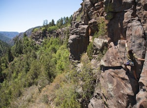
Climb Morning's Mourning at the Oak Creek Canyon Lookout
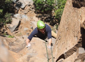
5.8+, 80ft trad climb at the Oak Creek Canyon Lookout. To get there, take the 89A North from Sedona, or South from Flagstaff. Then you will see signs for the Oak Creek Canyon Lookout. Take the turn off and park in the lot. If you think you will stay beyond closing, park across the street so you ...Read more -
Flagstaff, Arizona
Climb Red Wagon at the Oak Creek Canyon Lookout
5.8, 80ft trad climb at the Oak Creek Canyon Lookout. To get there, take the 89A North from Sedona, or South from Flagstaff. Then you will see signs for the Oak Creek Canyon Lookout. Take the turn off and park in the lot. If you think you will stay beyond closing, park across the street so you d...Read more -
Tuba City, Arizona
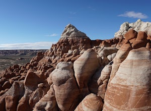
Explore Blue Canyon
5.0To reach Blue Canyon you must head down AZ 264 until you reach Indian pass 7 or 6660, it's the same road, turn west. The turn is not marked, it is only noticeable by a cattle guard. GPS coordinates are 35°58'15.92"N 110°49'47.26"W. From here on out the road is dirt and high clearance vehicle is r...Read more -
Williams, Arizona
Hike the Kelsey Spring/Hog Hill/Dorsey Spring Loop
13.4 mi / 2200 ft gainThis hike starts at the Kelsey Spring Trailhead. Park at the end of Forest Service Road 538G. There is parking for about 6-7 cars. Just past the signage for the trail, which is also called Kelsey Winter Trail, there is a trail registration box. Be sure to sign in. The trail descends steeply for t...Read more -
North Rim, Arizona
Bright Angel Point
4.30.86 mi / 361 ft gainThe trailhead begins at the North Rim Lodge/Visitor Center that rests of the edge of the Grand Canyon and heads east until you reach Bright Angel Point a half mile later. It's connected to the large outdoor patio where visitors are allowed to relax and enjoy a beer in the evening or cup of coffe...Read more -
Sedona, Arizona
West Fork Trail
5.06.49 mi / 1102 ft gainThis is one of the most beautiful hikes in Sedona, Arizona. It is a fairly easy hike, although it is 6 miles roundtrip. A lot of families come here, and children love to play in the water. There are various stream crossings, but for most of them, you should be able to keep dry. The canyon walls ...Read more -
Sedona, Arizona
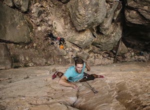
Climbing at Oak Creek Canyon
5.0Getting There About 18 miles south of Flagstaff on the 89A, turn into the Cave Springs parking lot and look for the trail just right of the first bridge. Hike up the chossy hill until you reach a giant sandstone slot canyon in the northwest. Climbing This canyon contained the crags, known as the ...Read more -
North Rim, Arizona
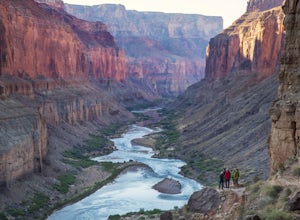
Hike and Camp at Nankoweap Granaries
5.02 mi / 700 ft gainHiking to the Nankoweap Granaries can be done in a few ways but the two most popular routes is by boat along the Colorado River or the unmaintained Nankoweap trail, which is considered by most and the park services the most difficult named trail. Nankoweap Creek drains into the Colorado creating ...Read more -
Grand Canyon Village, Arizona
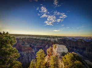
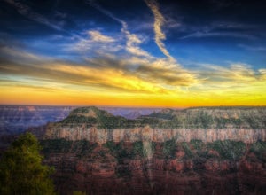
Photograph a Sunset from the North Rim Lodge
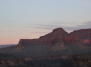
0.5 miI've read that only approximately 10% of Grand Canyon National Park visitors spend time at the North Rim, meaning the crowds are smaller in the most beautiful areas you can immerse yourself in without having to backpack to the bottom.This isn't so much of an adventure as it is the perfect way to ...Read more

