Coconino County, Arizona
Looking for the best photography in Coconino County? We've got you covered with the top trails, trips, hiking, backpacking, camping and more around Coconino County. The detailed guides, photos, and reviews are all submitted by the Outbound community.
Top Photography Spots in and near Coconino County
-
Grand Canyon Village, Arizona
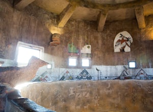
Visit the Desert View Watchtower
4.7While not a replica of any known watchtower along the Grand Canyon, the Desert View Watchtower is an art installation to honor the Hopi Native Americans. The watchtower was designed by Mary Colter, the same woman responsible for the Bright Angel Lodge renovations in 1935. Much of the painting wit...Read more -
Flagstaff, Arizona
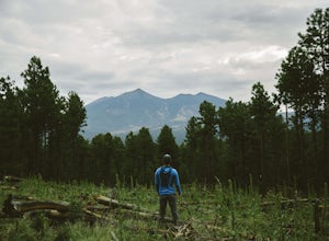
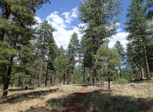
Hike and Camp at Arizona's A1 Mountain
4.76.6 miles west of downtown Flagstaff off the I-40 West is the A1 Mountain Road. Continue over the cattle guards and enter into the A1 Mountain Area—perfect for hiking, camping, and trail running.The main road is well established for a dirt road, and many of the hiking trails branch off from it. T...Read more -
Tuba City, Arizona
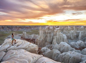
Hike Coal Mine Canyon
5.01 mi / -364 ft gainCoal Mine Canyon is a remote gem of the southwest that borders the Hopi and Navajo Indian Reservation. Coal Mine Canyon is located about 15 miles from Tuba City Arizona, The access to the canyon is off of Hwy 264 between mile marker 337 and 338 (right around 337.25). Once you make the turn off y...Read more -
Flagstaff, Arizona
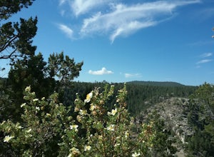
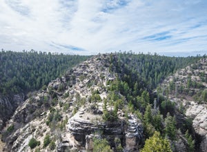
Hike the Rim Trail at Walnut Canyon National Monument
4.00.7 miHike the trail starting from the visitor center and take your time walking along the rim. Be sure to admire the canyon below and the ancient dwellings in the canyon walls. During the right season, there are also beautiful wildflowers along the way. This trail is partially paved and easy to walk.Read more -
Flagstaff, Arizona
Hike the Island Trail, Walnut Canyon
3.41 mi / 200 ft gainThe trail is a short one - stretching only a mile in length. The only semi-strenuous portion of the trail is at the beginning and end where you start by descending a set of stairs in order to reach the trail that loops around the historic cliff dwellings. Since this is a loop trail, the same set ...Read more -
Grand Canyon Village, Arizona
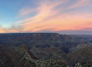
Hike to the Grand Canyon's Sunset Nook
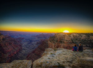
5.0While the Grand Canyon is full of spectacular views, one particular spot has always been a favorite due to the relatively easy access and the ability to separate from all of the action. To access the sunset nook, start at the Grandview Trailhead at the South Rim (a 16 minute drive from the main V...Read more -
Flagstaff, Arizona
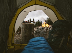
Camp at Red Rock
4.8Starting from Downtown Flagstaff we headed west. After making a left turn on Woody Mountain Road, we continued for 22 miles. Woody Mountain Road then becomes Forest Road 231. Continue on FS 231 until you find a killer spot to pitch it! Make sure to be wary of elk herds crossing the roads.We made ...Read more -
Flagstaff, Arizona
Hike the Two-Spot Loop Trail
2.5 mi / 100 ft gainThis loop trail has two different starting points. You can start at the south end of Rogers Lake (which is what I did) or the north end. I hike in a clockwise direction. This is recommended if you are hiking in the late afternoon as I did. The sun will be at your back during the section that has ...Read more -
36.122218,-111.949399
Sunset Hike the Cape Royal Trail
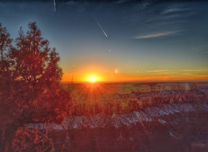
0.8 miThis is a very easy "hike" at the North Rim of the Grand Canyon. The drive itself is a little long and winding (keep your eye out for deer that bolt across the narrow road, especially at night), but the easy walk that takes you through a plethora of marked, detailed desert life completed by the ...Read more -
Grand Canyon Village, Arizona
Shoshone Point
5.02.14 mi / 100 ft gainA two mile round trip and relatively fast hike, Shoshone Point lies only about a mile from the parking lot and is an easy hike along a dirt road to a stunning vista. The trailhead is on Desert View Dr (Highway 64) about 3.5 miles east of the junction of highways 180 and 64. Look for the trail on ...Read more -
Grand Canyon Village, Arizona
Backpack the Grand Canyon's South Rim
5.030.1 mi / 4541 ft gainIf you want to see the real Grand Canyon, this is it. The 3 day backpacking will take you down into the canyon to where few people visit. Although the South Kaibab trail is steep, has no shade cover and water and the views are gorgeous. It is best to start from the South Kaibab, hike down to the ...Read more -
Grand Canyon Village, Arizona
Hike South Kaibab Trail to Cedar Ridge
5.02.88 mi / 1158 ft gainTo access the trailhead, you must take a shuttle in. There is not parking next to the trailhead because the parking lot is very small. From the trailhead you cascade down several steep switchbacks and continue on until you reach Ooh Ah point. Ooh Ah point is a great place for a wide or panoramic ...Read more -
Grand Canyon Village, Arizona
Phantom Ranch via the South Kaibab & Bright Angel Loop
5.021.58 mi / 4314 ft gainThere are many ways in and out of the Grand Canyon but the most popular loop is to descend from the South Rim, heading down the steeper South Kaibab Trail and returning up via the easier Bright Angel Trail. Your adventure starts early to beat the sun (and get the views). After getting your permi...Read more -
Grand Canyon Village, Arizona
Cremation Canyon via South Kaibab Trailhead
10.43 mi / 3973 ft gainThe Grand Canyon is over 277 miles long and is full of unique geological formations in all sorts of colors. One of the most striking aspects of the Grand Canyon is its immense scale and the dynamic landscapes it has to offer. There's something about it that makes it extremely difficult to fully c...Read more -
Grand Canyon Village, Arizona
Utah Flats via Cremation Canyon
4 mi / 2527 ft gainNote: The spot on the map is the beginning of the hike into Cremation Canyon Campground. For the full report on getting there, check out this adventure. Heading out of the campsite at Cremation Canyon, look for hints of a trail where you will scramble up, following other boot prints and cairns t...Read more -
Winslow, Arizona
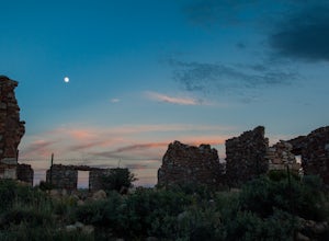
Ruins of Two Guns
These old ruins on the side of old route 66 in the town of Two Guns Arizona. The ruins themselves are very photogenic and worth a stop at. Be careful of snakes and the structural dangers of old ruins. This is a fun stop along the side of the highway to take photographs and watch the sunset.Read more

