Cameron, Arizona
Top Spots in and near Cameron
-
Flagstaff, Arizona
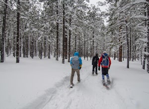
Snowshoe at the Arizona Nordic Village
2.5 miTo get to the Nordic Village from Flagstaff, just take the 180 North until you see the signs for the Nordic Village (on your right).Once at the Nordic Village, go inside the entrance building to buy your day pass ($10 for a snowshoeing day pass) and rent your gear. Feel free to bring your own sn...Read more -
Coconino County, Arizona
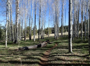
Hike Aspen Corner to Bismark Lake on the Arizona Trail
5.07 mi / 500 ft gainI started this hike at 7:00am. It was a perfect time of day. The sky was clear and the air was cool. I chose this section of the Arizona National Scenic Trail because I heard it passes through beautiful prairie and stands of Ponderosa Pine and Aspen trees. The trail did not disappoint! I started...Read more -
North Rim, Arizona
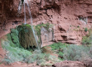
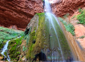
Phantom Ranch to Ribbon Falls via North Kaibab Trail
11.98 mi / 3320 ft gainPhantom Ranch to Ribbon Falls via North Kaibab Trail is an out-and-back trail that takes you to stunning Ribbon Falls in Grand Canyon National Park located near North Rim, Arizona. This trail makes for a long hike especially if doing it one day, so be sure to pack plenty of water, snacks, and sun...Read more -
Grand Canyon Village, Arizona
Camp at Mather Campground, Grand Canyon NP
4.5Mather campground provides forest camping at its best while visiting the beautiful South Rim of the Grand Canyon. Spacious RV, tent, group and even horse sites are available in this well kept facility. The area also provides clean restrooms, water, dump station and showers (additional cost) if yo...Read more -
Tonalea, Arizona
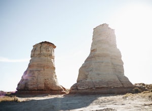
Photograph Elephant's Feet
Elephant's Feet is located 20 miles east of Tuba City on 160 right outside of Tonalea, AZ. This roadside stop is right off the highway - you definitely won't miss it when driving from either direction. There is plenty of space to park in the roadside pull off. Depending on the season, there may b...Read more -
North Rim, Arizona
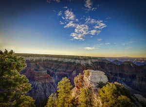
Bright Angel Point
4.30.86 mi / 361 ft gainThe trailhead begins at the North Rim Lodge/Visitor Center that rests of the edge of the Grand Canyon and heads east until you reach Bright Angel Point a half mile later. It's connected to the large outdoor patio where visitors are allowed to relax and enjoy a beer in the evening or cup of coffe...Read more -
North Rim, Arizona
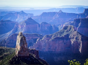
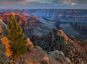
Hike Point Imperial Trail
5.38 miPoint Imperial is the highest point in the Grand Canyon, lying in the North Rim, at 8800ft and offering incredible views of staggered mountains. The trail itself is relatively easy. If you're not acclimated to the elevation you'll feel short of breath, but beyond that it mostly takes you through...Read more -
Flagstaff, Arizona
Bike along the San Francisco Peaks on Waterline Road
4.020 mi / 3000 ft gainWaterline Road is a closed service road that follows along the southern and eastern slopes of the San Francisco Peaks of Flagstaff, AZ. You will pass through several miles of charred ponderosa pine as well as expansive groves of aspen trees as you make your way to the Inner Basin.The road follows...Read more -
Grand Canyon Village, Arizona
Plateau Point via Bright Angel Trail
4.812.27 mi / 3000 ft gainStart off at Bright Angel Trailhead, then hike down into the Grand Canyon on one of the higher-quality trails. Hiking down to Plateau Point (furthest option) is well worth it. The hike down is a total of 6 miles, with a 3,000 foot drop in elevation. As you can imagine, this means the way back ou...Read more -
Grand Canyon Village, Arizona
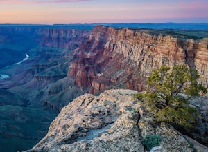
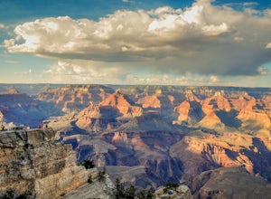
Explore the Grand Canyon in Winter
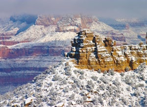
4.7From snow-dusted red rocks to dramatically painted evening skies, winter brings out a side of the Grand Canyon that is rarely seen at other times of the year. Skip the massive crowds and have your choice of driving your own car from lookout point to lookout point or taking the shuttle from the we...Read more -
Grand Canyon Village, Arizona
Bright Angel Trail to Indian Garden and Bright Angel Campgrounds
5.018.26 mi / 4314 ft gainThe Bright Angel Trail is considered the park’s premier hiking trail. Well maintained, graded for stock, with regular drinking water and covered rest-houses, it is without question the safest trail in Grand Canyon National Park. There is a ranger station located at the trail’s halfway point (Indi...Read more -
Grand Canyon Village, Arizona
Backpack the Bright Angel Trailhead to Indian Garden Campground
4.08.98 mi / 3060 ft gainThe trail begins just outside of the Grand Canyon village at the Bright Angel Trailhead. The hike begins to descend immediately in continuous switchbacks. The trail can get very icy so shoe traction devices, while not necessary, are very useful. Along the trail there are rest houses at the 1/3 an...Read more -
North Rim, Arizona
Ribbon Falls via North Kaibab Trailhead
5.017.57 mi / 4521 ft gainAlthough this hike can feasibly done in a day, it is highly recommended that you spend more than one day in this area and visit the falls as a side trip on a larger trip. The closest campsites to Ribbon Falls are Cottonwood Campground and the Bright Angel Campground at Phantom Ranch. Ribbon Fal...Read more -
North Rim, Arizona
Grand Canyon: Rim-to-Rim-to-Rim
4.745.6 mi / 10141 ft gainDay 1 Start at the North Rim of Grand Canyon National Park at the North Kaibab Trail. You have 14 miles and 5,761 feet of elevation to descend to the Bright Angel Campground, so bring those trekking poles if you have bad knees (like myself). Along the North Kaibab Trail a few noteworthy trail m...Read more -
North Rim, Arizona
Point Sublime
5.034.27 mi / 3878 ft gainIts name says it all; this panoramic viewpoint at the north rim of the Grand Canyon is sublime: of such excellence, grandeur, or beauty as to inspire great admiration or awe. For newcomers to the Grand Canyon, this view might just leave you speechless! A relatively few people get to experience P...Read more -
Flagstaff, Arizona
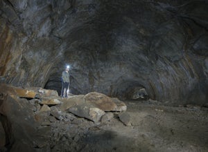
Explore Flagstaff's Lava River Cave
4.1If you’re looking for a truly unique hiking experience in Arizona, look no further than the Lava River Cave, 14 miles northwest of Flagstaff. The longest lava tube in Arizona, the cave was formed approximately 700,000 years ago after a volcanic eruption in Hart Prairie. As the lava from the erupt...Read more

