Cameron, Arizona
Top Spots in and near Cameron
-
Flagstaff, Arizona
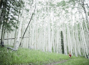
Trail Run in Lockett Meadow
4.8Getting There North of Flagstaff on the 89A, take a left turn directly after a sign for Sunset Crater. This road winds up a well-developed path; when it ends, turn right. After the road banks left, take a right at the next fork and continue on the dirt road up a single lane path until you enter t...Read more -
Grand Canyon Village, Arizona
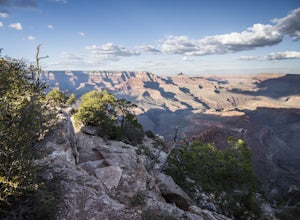
Shoshone Point
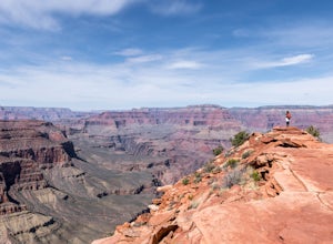
5.02.14 mi / 100 ft gainA two mile round trip and relatively fast hike, Shoshone Point lies only about a mile from the parking lot and is an easy hike along a dirt road to a stunning vista. The trailhead is on Desert View Dr (Highway 64) about 3.5 miles east of the junction of highways 180 and 64. Look for the trail on ...Read more -
Flagstaff, Arizona
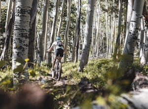
MTB the Hart Prairie Loop
15.2 mi / 1198 ft gainThis outstanding loop takes in high altitude meadows, aspen glades, fabulous evergreen forest, and unbelievable views in the San Francisco Peaks. The ride lacks any technical challenges, but long and consistent uphill grades (at high elevation) make for a good workout. The reward is an ending tha...Read more -
Flagstaff, Arizona
Camp in the Coconino National Forest
3.8The free camping in the Coconino (as well as the many other national forests) is generally along the old Fire Roads, and old Forest Service Roads. You can tell if a road is one of these by a brown sign with an FS 123 or any other number, FS meaning Forest Service Road. There are many of these roa...Read more -
North Rim, Arizona
Hike and Camp at Nankoweap Granaries
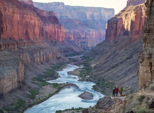
5.02 mi / 700 ft gainHiking to the Nankoweap Granaries can be done in a few ways but the two most popular routes is by boat along the Colorado River or the unmaintained Nankoweap trail, which is considered by most and the park services the most difficult named trail. Nankoweap Creek drains into the Colorado creating ...Read more -
Grand Canyon Village, Arizona
South Kaibab Trail to Tip Off
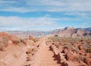
4.08.86 mi / 5000 ft gainThe late Fall turned out to be the perfect time to visit the Grand Canyon. You still run into a number of people tripping over rocks with selfie sticks, but we had no trouble finding peace and serenity on distant overlooks and throughout the trails. We arrived around 4 pm on a Saturday after 21...Read more -
Grand Canyon Village, Arizona
Backpack the Grand Canyon's South Rim
5.030.1 mi / 4541 ft gainIf you want to see the real Grand Canyon, this is it. The 3 day backpacking will take you down into the canyon to where few people visit. Although the South Kaibab trail is steep, has no shade cover and water and the views are gorgeous. It is best to start from the South Kaibab, hike down to the ...Read more -
Grand Canyon Village, Arizona
Hike South Kaibab Trail to Cedar Ridge
5.02.88 mi / 1158 ft gainTo access the trailhead, you must take a shuttle in. There is not parking next to the trailhead because the parking lot is very small. From the trailhead you cascade down several steep switchbacks and continue on until you reach Ooh Ah point. Ooh Ah point is a great place for a wide or panoramic ...Read more -
Grand Canyon Village, Arizona
Phantom Ranch via the South Kaibab & Bright Angel Loop
5.021.58 mi / 4314 ft gainThere are many ways in and out of the Grand Canyon but the most popular loop is to descend from the South Rim, heading down the steeper South Kaibab Trail and returning up via the easier Bright Angel Trail. Your adventure starts early to beat the sun (and get the views). After getting your permi...Read more -
Grand Canyon Village, Arizona
Run Rim-to-Rim-to-Rim in the Grand Canyon
5.040.79 mi / 11000 ft gainThis run is an extreme adventure and requires lots of planning and training. The risk for injury or heat related illness is high, so take precautions and don't run alone. Group sizes of 12-30 require a $175 permit from the NPS. These trails are popular with runners, hikers, and backpackers; pl...Read more -
Grand Canyon Village, Arizona
Cremation Canyon via South Kaibab Trailhead
10.43 mi / 3973 ft gainThe Grand Canyon is over 277 miles long and is full of unique geological formations in all sorts of colors. One of the most striking aspects of the Grand Canyon is its immense scale and the dynamic landscapes it has to offer. There's something about it that makes it extremely difficult to fully c...Read more -
Grand Canyon Village, Arizona
Utah Flats via Cremation Canyon
4 mi / 2527 ft gainNote: The spot on the map is the beginning of the hike into Cremation Canyon Campground. For the full report on getting there, check out this adventure. Heading out of the campsite at Cremation Canyon, look for hints of a trail where you will scramble up, following other boot prints and cairns t...Read more -
Flagstaff, Arizona
Winter Summit Humphreys Peak, Arizona
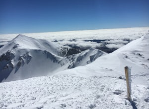
8.4 mi / 3335 ft gainFrom Flagstaff, take US-180 west towards the Grand Canyon. Take US-180 for 7 miles until you reach Snow Bowl Rd. Turn right/N onto Snow Bowl Rd and take this for 7 miles as it winds its way up the mountain. If it has recently snowed you will need chains for 2 wheel drive vehicles or 4 wheel drive...Read more -
Flagstaff, Arizona
Hike the Aspen Nature Loop at Humphrey's Peak
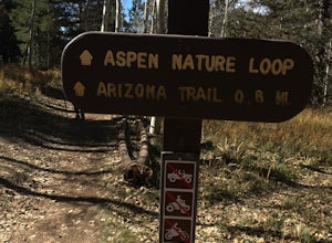
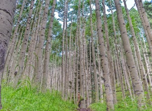
5.01.8 mi / 300 ft gainThis is a great hike that has amazing views at all times of the year. This trail might be closed for skiing season, but I am not sure. I went in October, just before Halloween and the weather was perfect. The leaves were changing and there was a nice brisk breeze. The short loop makes it accessib...Read more -
Flagstaff, Arizona
Humphreys Peak Summit
5.09.57 mi / 2759 ft gainIf you think you might only get one chance to hike Humphreys Peak in your life, I recommend this hike so that you can have a unique view experience of the east and west sides of the Peaks. This is a shuttle hike of Humphreys Peak which combines the Humphreys Peak Trail and the Humphreys via Inner...Read more -
Grand Canyon Village, Arizona
Bike the Hermit Road at the Grand Canyon
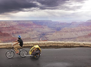
5.018.4 mi / 50 ft gainThe Hermit Road, originally built by early pioneers and then improved by the Santa Fe Railroad, winds along the Canyon’s rim for 7 miles. It boasts some of the grandest views along the South Rim of Grand Canyon and is your best opportunity to see the river and its rapids from the rim. This is the...Read more

