Utah
Looking for the best photography in Utah? We've got you covered with the top trails, trips, hiking, backpacking, camping and more around Utah. The detailed guides, photos, and reviews are all submitted by the Outbound community.
Top Photography Spots in and near Utah
-
Salt Lake City, Utah
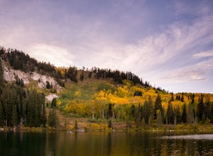
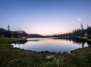
Silver Lake
3.80.94 mi / 49 ft gainThis quick hike to a beautiful lake in the Wasatch Mountains is perfect for the whole family. Park at the visitor center at the Silver Lake Recreation Area near Brighton Ski Resort, pick up a trail map and walk behind the building to find the trailhead. You can also pick up a wildflower guide at ...Read more -
Bryce, Utah
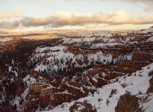
Bryce Canyon Scenic Drive
4.520.8 mi / 2516 ft gainInspiration Point: All who look out from this point are bound to be inspired. The intricacies of the hoodoos and their formation through the erosion of the Claron Formation is simply beautiful. You get the most spectacular perspective of the main amphitheater in Bryce Canyon here. Swamp Canyon: ...Read more -
Salt Lake City, Utah
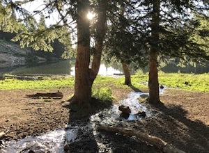
Backpack to Bloods and Lackawaxen Lakes
4.84 mi / 1040 ft gainThis trail is just outside of Big Cottonwood Canyon which forbids both dogs and swimming due to the Salt Lake watershed. As a result, dogs and swimming are more than welcome. Blood Lake and Lackawaxen Lake Trailhead can be reached by driving up Big Cottonwood approximately 15 miles until the tur...Read more -
Tropic, Utah
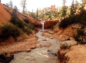
Hike Mossy Cave in Bryce Canyon
3.31 miThis short hike cannot be reached from the main area of Bryce Canyon, but with a 15 minute drive from the main entrance you can access this less crowded portion of the park. Check out a park map for the directions. This is very family-friendly, and is actually more of a "walk" than a "hike."It is...Read more -
Torrey, Utah
Capitol Reef's Sulphur Creek Route
4.85.87 mi / 1191 ft gainThis is a point-to-point hike that either requires a shuttle or 3 mile walk along highway 24. The starting trailhead is the Chimney Rock Trailhead which has limited parking. The ending trailhead is the Capitol Reef National Park Visitors Center. We only had one car so I dropped everyone off at th...Read more -
Wendover, Utah
Photograph the Bonneville Salt Flats
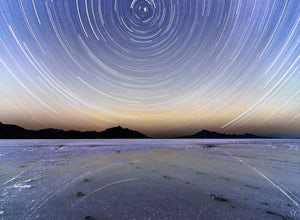
4.7The Bonneville Salt Flats are unlike anywhere else in the world. Imagine a brilliantly white landscape so flat that you can see the curvature of the earth, coupled with distant mountain peaks rising in the distance. This alien world is one of the most incredible destinations Utah has to offer, an...Read more -
Salt Lake County, Utah
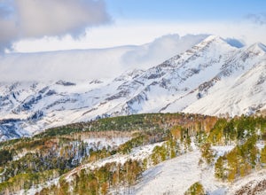
Lake Blanche & Sundial Peak
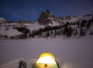
5.09.52 mi / 4098 ft gainThis is a popular hike all year round, but less popular in the winter. If you’re backpacking you’ll most likely be alone. In winter, the lake is covered in snow, but Sundial Peak is one of the most picturesque mountains in the Wasatch. Especially when it is dusted with snow. You’ll also be far en...Read more -
Moab, Utah
Photograph the Milky Way at North Window Arch
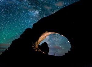
4.7Arches National Park is a must see for all photographers, but especially for astrophotography. Many of the most common places to shoot are balanced rock, and Delicate Arch and there's a good reason, these are beautiful places. North Window Arch is much less common, and even on a moonless night,...Read more -
Moab, Utah
Double O Arch
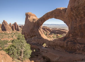
4.64.09 mi / 390 ft gainStarting at the Devil's Garden Trailhead, this 4.1-mile looped moderate hike features flat sandy paths to narrow sandstone slabs with narrow ledges. The best time to complete this hike is early in the morning. Getting to the Devil's Garden Trailhead at sunrise will almost definitely guarantee you...Read more -
Mexican Hat, Utah
Explore Forrest Gump Hill
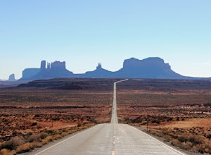
5.0If you are in or around Monument Valley, the drive and corresponding effort to get to Forrest Gump Hill is minimal. The location is known most notably as the spot where Forrest Gump ended his cross-country run in the movie. It's also simply an unbelievable view. From the most iconic site within M...Read more -
Moab, Utah
Navajo Arch via Devils Garden Trailhead
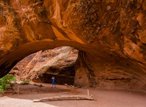
4.32.91 mi / 377 ft gainIn order to get to Navajo Arch, you will have to hike through Devils Garden Trailhead. The hike is relatively easy until you pass Landscape Arch. After that, the trail steadily climbs and you will find yourself scrambling and climbing up slickrock fins. You can stop and admire other well-known ar...Read more -
Escalante, Utah
Zebra and Tunnel Slot Canyons Loop
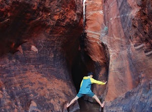
4.86.63 mi / 535 ft gainThis place is just outside of Escalante, Utah, about 6 miles drive down the Hole in the Rock Road / BLM 200. You will see a small parking lot on the right side, the trailhead is not marked, but it's right cross the road from parking lot, once you see the trail you can just easily follow it for 1....Read more -
Kamas, Utah
Hike to Island Lake
5.09 mi / 1000 ft gainThere are many lakes in this area, but Island Lake is the only one with epic cliff jumping. You can camp anywhere around the lake and campfires are permitted.The cliff is best to jump off mid summer when the water is the warmest, but it's always pretty cold. The cliffs are about 30-50 feet tall. ...Read more -
Payson, Utah
Mount Nebo via North Rim Trail
4.58.6 mi / 2897 ft gainMount Nebo is the tallest of all the mountains in the Wasatch, and also one of the easiest to hike, due to the fact that the trail begins at an elevation of ~9300 ft. The parking area for the trailhead is along a short dirt road, which is precisely marked on the location map. The trail itself is...Read more -
Brighton, Utah
Hike and Camp at the Twin Lakes Reservoir
5 mi / 650 ft gainThe trailhead begins at the Solitude Nordic Center. Walking around Silver Lake, you get a chance to observe the ducks and lovely wetlands area. This trail then leads you into the lower aspens, and if you are hiking just as fall colors have begun to emerge, they create a glowing effect in the wood...Read more -
Kamas, Utah
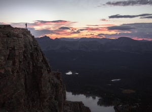
Hike Bald Mountain in the Uintas
4.54 mi / 1250 ft gainBald Mountain is one of the most popular hikes in the Uintas, so get an early start if you want to beat the crowds. Those willing to hike in before dawn will be rewarded with an unforgettable sunrise at the summit. I HIGHLY recommend this as a sunrise hike. The trail starts out with steep switchb...Read more

