Utah
Looking for the best photography in Utah? We've got you covered with the top trails, trips, hiking, backpacking, camping and more around Utah. The detailed guides, photos, and reviews are all submitted by the Outbound community.
Top Photography Spots in and near Utah
-
Richmond, Utah
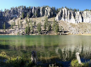
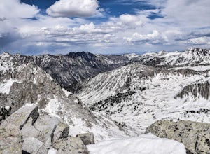
Backpack to White Pine Lake, Logan
4.57.6 mi / 1344 ft gainYou will start from the Tony Grove Lake parking lot and start hiking northeast on the White Pine Lake trailhead. The trail is roughly 3.8 miles to the lake through beautiful Quaking Aspens and Pines. The first 2.5 miles are fairly easy with a slight incline. You will then reach the top of a ridge...Read more -
Orderville, Utah
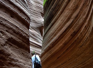
Hike through the Red Caves (Sand Wash)
5.0They don't require any technical gear unless you would like to do two short rappels near the beginning of Lower Red Cave and one short rappel into the Upper Red Cave. We didn't take a rope and were fine although the canyons are usually filled with water and have some difficult obstacles to overco...Read more -
Moab, Utah
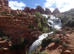
Explore Faux Falls
1 mi / 200 ft gainFaux Falls is located near the Ken's Lake campground off Route 191, 20 minutes south of Moab. When I was there it was during several days of thunderstorms. The waterfall was really gushing. Not sure how much water is running when there hasn't been rain in a while. The falls can be seen from the ...Read more -
Mexican Hat, Utah
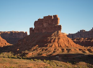
Camp in the Valley of the Gods
5.0The dirt road loop is relatively smooth and can be driven on by just about any car, campervan, or RV. However, check the weather beforehand because some areas can become flooded after rain and will be a difficult mud crossing. It can be driven in either direction. One entrance is off Highway 163,...Read more -
Green River, Utah
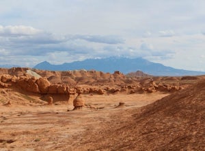
Hike to Goblin's Lair and Carmel Canyon
4.53.18 mi / 433 ft gainThis beautiful, isolated hike also makes for a flexible route – very few places in Goblin Valley are off limits, allowing you to customize the adventure as much as you please. The hike begins on a rapidly descending trail, heading into the heart of Goblin Valley State Park. After a quarter mile ...Read more -
Alpine, Utah
Day Hike to South Thunder Mountain
12.2 mi / 5604 ft gainThe summit of South Thunder Mountain, sitting at 11,154 ft, is a superb peak. Located on the Alpine Ridge of the Wasatch Mountains, this peak is criminally overlooked.The Schoolhouse Springs trailhead leads you onto an old dirt road, that switchbacks for about 2 miles through the foothills, befor...Read more -
Kane County, Utah
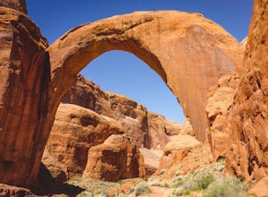
Backpack to Rainbow Bridge
5.017 mi / 2800 ft gainThis incredible trip isn't only about Rainbow Bridge. Honestly, the Bridge is just icing on the cake.The scenery is breathtaking along the way, changing and evolving as you pass through epic canyons and climb over rocky ledges to be rewarded with spanning vistas. It really is amazing. There's eve...Read more -
Kane County, Utah
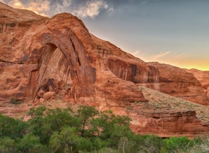
Hike to Broken Bow Arch
4.76.28 mi / 732 ft gainThe trailhead starts at the Willow Gulch Trailhead, located just off of Hole in the Rock Road in the Grand Staircase -Escalante National Monument. The coordinates for the trailhead are 37.324812,-111.023019. To get there head east on highway 12 out of Escalante, Utah until you get to Hole in the ...Read more -
Moab, Utah
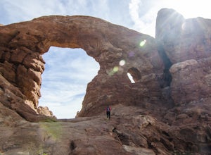
Window Arch Loop
5.01.14 mi / 62 ft gainTo get to the trailhead: After entering the park, keep driving along the main road until you see signs for The Windows Area (just past the Balanced Rock and a little over 9 miles from the Visitor Center). Follow this road until it ends in a parking lot and you see the arches to your right. The ...Read more -
Bryce Canyon City, Utah
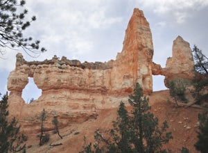
Tower Bridge via Fairyland Loop
4.03.56 mi / 935 ft gainGetting there is half the fun on this hike below the canyon rim. While there are fewer hoodoos in this area of the park, the scenery is still incredible and the crowds are much lighter. Starting at Sunrise Point, the trail boasts big views immediately. During the first mile you can look out a...Read more -
New Harmony, Utah
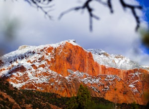
Middle Fork Taylor Creek in Kolob Canyon
4.04.86 mi / 889 ft gainThe Taylor Creek trailhead sits in the little-explored part of Zion National Park known as Kolob Canyon just south of Cedar City. The trail starts at around 6,000 feet and then drops a little lower in to the canyon and runs along Taylor Creek. With 450 feet of elevation change along the five-mile...Read more -
Moab, Utah
Camping at Granstaff Campground
5.0Granstaff Campground has 17 campsites available, which are first come, first served. The sites are $15 a night per vehicle. The campground is a little limited and doesn't have running water, so bring your filter or head into town and pick up supplies.During the day, you can easily make your way t...Read more -
Centerville, Utah
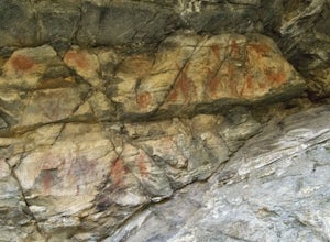
Hike to the Parrish Creek Pictographs
4.71 mi / 200 ft gainThe petroglyphs are pretty easy to find and it is such a short hike you can do it in about 45 minutes. To get to the trailhead, drive to Centerville, Utah and take 400 N all the way towards the mountain. The road with curve to the right with a small dirt road heading to the left. Take the dirt ro...Read more -
Torrey, Utah
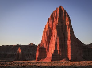
Photograph Cathedral Valley
5.0First let me preface that a high clearance vehicle is needed for this adventure. Provided that, prepare for a journey into some very remote and beautiful desert in the middle of Capitol Reef National Park.In total the scenic loop is 57 miles of washboard riddled roads that lead to the spectacular...Read more -
Duck Creek Village, Utah
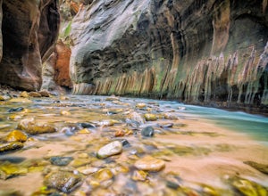
Hike The Narrows: Top Down
5.015.38 miTHE NARROWS This by far one of the most scenic and awesome hikes available in any National Park. There is no place in Zion National Park more sublime in its beauty and awe inspiring in its creation as you hike through the crystal clear Virgin River and marvel at the myriad of red, orange, yellow...Read more -
Monticello, Utah
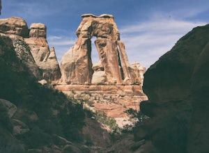
Hiking Druid Arch
5.010.28 mi / 1594 ft gainImportant Note: Druid Arch is located on the eastern side of Canyonlands National Park in the Needles District. It is not located at the main entrance to the park. Stop by the Needles Visitor Center and pick up a map. Your starting point, Elephant Hill Trailhead is then located 6.3 miles west of ...Read more

