Utah
Looking for the best photography in Utah? We've got you covered with the top trails, trips, hiking, backpacking, camping and more around Utah. The detailed guides, photos, and reviews are all submitted by the Outbound community.
Top Photography Spots in and near Utah
-
Green River, Utah
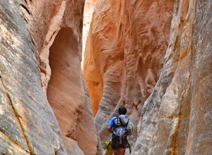
Canyoneering the San Rafael Swell
4.0The San Rafael Swell, is the home of many adventures! One of those adventures being canyoneering. There are many slot canyons of various skill levels that have been explored and descended. There are many other canyons that still have yet to be explored by man kind. The Swell is large and ungo...Read more -
Layton, Utah
Adams Canyon
4.83.55 mi / 1434 ft gainThe trailhead is at a dirt parking lot with a lot of parking, but on Saturday mornings it can get full and people are forced to park on the street. As you start off, there are a few steep and sandy switchbacks. They don't last too long but on a hot day it can seem like forever. After that, the t...Read more -
Kamas, Utah
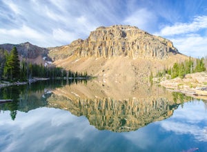
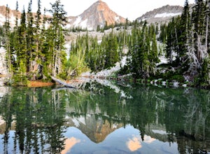
Ibantik Lake via Crystal Lake Trailhead
5.03.96 mi / 646 ft gainFrom the Crystal Lake trailhead, follow the trail 1.1 miles north to Wall Lake. Here, you'll come to a junction with the trail from Trail Lake; take the left trail heading north to Notch Mountain, and Ibantik Lake is a mere .6 miles northeast, nestled next to Notch Peak. At Ibantik Lake, you'll ...Read more -
Torrey, Utah
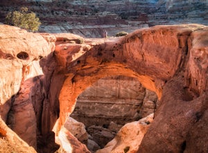
Cassidy Arch Trail
4.43.08 mi / 1283 ft gainFollow the scenic road just past the Fruita Campground to the first dirt road on the left. The dirt road meanders through cool rock formations (great for night photography) and eventually dramatic cliffs that you will be climbing up. The parking area is obvious and there are primitive restrooms. ...Read more -
Fillmore, Utah
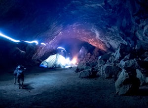
Camp and Explore at Meadow Lava Tubes
4.41 miEXPLORE THE AREAThe entrance to the Lava Tubes is located in a rock pit near the NW base of Tabernacle Hill. The trail is not marked very well, so you'll have to use your best exploring skills to find your way. Once you have entered the first cave follow it underground for about 100 ft until it l...Read more -
Sandy, Utah
Hike to Maybird Lakes (Maybird Gulch)
5.07.5 mi / 2000 ft gainThis out and back hike begins at the same trailhead as White Pine Lake and Red Pine Lake which are both a lot more popular that Maybird Lakes. You follow the trail to Red Pine Lake for the first 2.5 miles and then there is a bridge and you follow that across the river to get on the trail to Maybi...Read more -
Green River, Utah
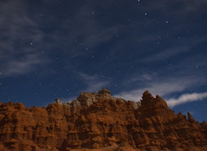
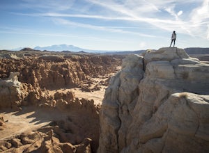
Exploring Goblin Valley
4.5Goblin Valley Can entertain you for 1 hour or 10. There are no established trails, so you are free to wander around the entire park. There are cliffs to climb, slot canyons to explore and hoodoos to discover. From the parking area, you descend about 100 feet into the valley. Once you are down the...Read more -
Bryce, Utah
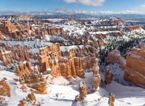
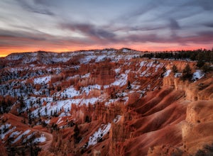
Peek-a-Boo Loop in Bryce Canyon
4.54.98 mi / 1388 ft gainThis 5 mile hike begins at an elevation of 8000' at the Navajo Loop trailhead at Sunset Point. The view from the lookout of Sunset Point is only just a small taste of the sweeping vistas you will see on the hike. From Sunset Point follow the sign for the Navajo Trail and begin descending into a s...Read more -
Wasatch County, Utah
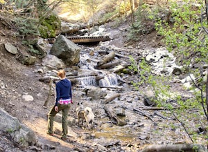
Hike Little Deer Creek to Cataract Gorge
4.04 miLittle Deer Creek Canyon can be accessed from the Emerald Lake Highway (150) in the Uinta National Forest east of Kamas, Utah. Turn right onto Murdoch Basin Road (Forest Service Road 137) until it splits off to the road to Cataract Gorge (Forest Service Road 027). It is recommended you park her...Read more -
Kanab, Utah
Wire Pass Slot Canyon
4.63.75 mi / 325 ft gainWire Pass is a hike through a scenic slot canyon that is often overlooked due to its close proximity to the very famous Wave. Unlike the "Wave" a permit is not required to make the hike, only a day use fee at the trailhead. Be sure to check local weather for rainfall and please do not go on this ...Read more -
Provo, Utah
Explore Scenic Cascade Springs
4.7One of the most photogenic spots of the Timpanogos Canyon. If you take the Alpine loop you will see a sign to turn off and go to Cascade Springs. It's about a 15 minute drive from there. The parking lot is right next to the springs. The best time to go is during the fall when the leaves are chang...Read more -
Kamas, Utah
Explore the Mirror Lake Scenic Byway
4.7Mirror Lake Scenic Byway is breathtaking. There is lots to take in via longer trips, but with numerous viewpoints, lakes, and the Provo River just off the main highway, the drive through alone is well worth it.There is SO much to do in the Uintas, with activities ranging from lakeside picnics to ...Read more -
Bryce, Utah
Hiking Bryce Canyon's Rim Trail
4.411.01 mi / 1342 ft gainThis popular hike in Bryce Canyon National Park offers up breathtaking views from just about every step. While it can be as long as 11 miles out and back from Fairyland Point to Bryce Point, multiple pull outs allow driving between the different points providing as long or short as a hike as you ...Read more -
Provo, Utah
Hike the North Summit of Mount Timpanogos
5.016 miTo reach the north summit of Timpanogos you start out just like you would if you were going to the main summit. There are 2 different trail options to choose from; The Aspen Grove trail near Sundance Ski resort or the Timpanooke trail through American Fork Canyon. I will put the start point on th...Read more -
Provo, Utah
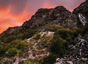
Bridal Veil Falls
4.80.47 mi / 285 ft gainHeading on Provo Canyon Rd the waterfall is just on the right hand side. You will see a sign that says "Bridal Veil" to turn in and park at the falls. At the falls you can hike up a bit to get closer to the waterfall but you will get sprayed quite a bit. Usually a few people there take photos at ...Read more -
Green River, Utah
Camp at Goblin Valley
3.8Goblin Valley State Park is in a rural section of southern Utah, but if you type it into Google Maps you will go straight there. There are awesome campsites within the park but they require reservations. If you didn't take the time to reserve a campsite, don't worry, there is plenty of BLM land r...Read more

