Utah
Looking for the best photography in Utah? We've got you covered with the top trails, trips, hiking, backpacking, camping and more around Utah. The detailed guides, photos, and reviews are all submitted by the Outbound community.
Top Photography Spots in and near Utah
-
Springdale, Utah
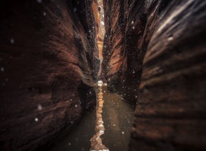
Canyoneering Keyhole Canyon
4.0Keyhole Canyon is an experience for the adventurous, thrill seeking explorer. Hidden between the jagged mountains of Zion National Park, this canyon sits roadside, just two miles from the east entrance. Before we continue, please note that Canyoneering is a dangerous sport. This canyon is not for...Read more -
Salt Lake County, Utah
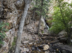
Hidden Falls
4.20.16 mi / 138 ft gainHidden Falls is a beautiful little waterfall with minimal crowds. When I say minimal, I mean I've only seen another person there 1 of the 5 or 6 times that I have been. Take it in. Stay a while. Scramble around the small canyon for different perspectives of the falls or the creek. If you don't ha...Read more -
Provo, Utah
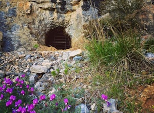
Hike to Buckley's Abandoned Mine
4.63 mi / 200 ft gainOnce you reach the mine it's gated but you can slide in. Follow the main tunnel a hundred or so feet back and climb the 75 foot ladder up to the second level. You can then make your way back out to the cliff face where there is another gate to the outside. That gate is a little trickier to squeez...Read more -
Evanston, Utah
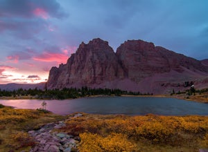
Red Castle and Red Castle Lakes
4.623.13 mi / 2149 ft gainThe Red Castle is a stunning formation of crumbling red rock that rises around several small lakes, high in the Uinta Mountains. The trail begins at the China Meadows Trailhead. From there, it heads south for about 8 miles, winding through lodgepole pine forests and skirting vast alpine meadows, ...Read more -
Pleasant Grove, Utah
Drive-In Sunrise
4.8Pull into the Pine Hollow parking lot, just before the winter closure gate and watch the show. If you get there early enough you can watch Timpanogos go from the tones of soft alpenglow to the harsh vibrance of sunrise. In the winter make sure you remember enough blankets.Read more -
Boulder, Utah
Lower Calf Creek Falls
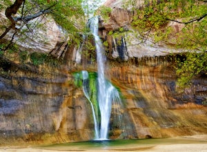
4.65.74 mi / 515 ft gainThe trailhead for lower calf creek falls begins at the Calf Creek Campground. There is a small fee to park in the campground and a larger fee if you plan on camping in the campground. There is potable water and outhouses at the trailhead but parking can be difficult to find during the spring and ...Read more -
Alta, Utah
Cecret Lake from Albion Basin
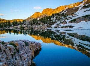
4.94.48 mi / 1214 ft gainThe out-and-back trail from Albion Basin to Cecret Lake climbs a gentle slope and along the way there are interpretive signs with information about the basin, its plants, animals and geology. From the lake you can return the same way you came, or explore the area more. If you head there during t...Read more -
Holladay, Utah
Mt. Olympus Trail
4.76.46 mi / 4124 ft gainThe trail begins right on Wasatch Blvd. and after the first 0.5 miles you're into the Superior Wilderness. This is a very strenuous hike and you will be gaining elevation the whole way from the parking lot (4830 ft) to the summit (9026 ft). About .2 mile from the summit you will reach a saddle....Read more -
Kanab, Utah
Hike Buckskin Gulch, Vermillion Cliffs Wilderness
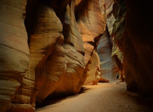
4.615 miBuckskin Gulch is a natural wonder. At 15 miles long it is the longest slot canyon in the world. It sometimes is as narrow as 2ft. Because of the nature of this canyon and Utah topography this canyon is subject to deadly flash flood if it rains anywhere along the headwaters. Be sure to check in w...Read more -
Emery County, Utah
Camp at the Little Grand Canyon
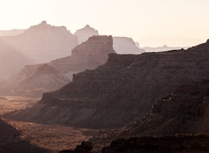
4.6The Wedge and The Little Grand Canyon are located in Eastern Utah and despite their amazing beauty are relatively unknown and overlooked partly due to their close proximity to national parks like Arches and Canyonlands. With it's massive size, The San Rafael Swell, where The Little Grand Canyon i...Read more -
Kanab, Utah
Sand Caves of Kanab
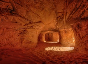
4.51.17 mi / 69 ft gainTo get to this cave, drive north of Kanab on Highway 89. Just after you pass Best Friends Animal Sanctuary, you will see these caves on the right. To hike to the caves, try accessing the trail from as far to the left as possible. The hike isn't strenuous or tricky in that case. The other thing t...Read more -
Sandy, Utah
Upper Bell Canyon Reservoir via Bell Canyon Trail
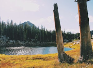
4.39.12 mi / 4285 ft gainThis is one of my favorite spots in the state of Utah! It is completely secluded high up on the Wasatch front. You can hike here for a nice relaxing day, an overnight camping trip, or do a little fly fishing and hook some fun little brooke and cutthroat trout. The Bell Canyon trail is one of the...Read more -
Salt Lake City, Utah
Grandeur Peak East Trail
4.45.97 mi / 2513 ft gainThis is the peak that can be seen from the valley located between Millcreek Canyon and Parleys Canyon. There are 2 trails that head up to this peak, but the one up Millcreek Canyon at the top of Church Fork is by far the more popular/enjoyable one (and the one described here). The other one heads...Read more -
Evanston, Utah
Kings Peak
4.828.56 mi / 5213 ft gainFrom the Henry Fork Trailhead (approx. 9400 feet elev.) the trail gains very little elevation during the first 5.5 miles with several lakes to camp by along the way. The first lake reached is Alligator Lake. At just under 3 miles from the trailhead, this beautiful lake is an excellent choice for ...Read more -
New Harmony, Utah
Kolob Arch
4.713.86 miIn the lesser traveled area of Zion National Park sits Kolob Arch, a sandstone arch high up on a cliff tucked back in the canyon. To get to Kolob Arch take exit 40 on I-15 in Utah. You'll see a Zion National Park Visitor's Center. Here you can fill up on water, use the bathroom, and get a map to...Read more -
Hurricane, Utah
West Rim Trail, Zion NP
5.014.41 mi / 3000 ft gainThis 14.5 mile (one-way) trek is a multi-functional trail. The trail can serve as standalone trail allowing hikers to get in either a solid in-and-out day hike or as a leg to a much bigger and epic Trans-Zion Trek. For those interested in the later, the West Rim Trail is the leg of the journey th...Read more

