Robbins, North Carolina
Looking for the best hiking in Robbins? We've got you covered with the top trails, trips, hiking, backpacking, camping and more around Robbins. The detailed guides, photos, and reviews are all submitted by the Outbound community.
Top Hiking Spots in and near Robbins
-
Mount Gilead, North Carolina
Dutchman's Creek Trail, Uwharrie NF
3.811.31 mi / 1407 ft gainThis hike starts with mellow terrain changes allowing you to get a feel for the trail. For the first 5 miles you will have one or two steep inclines that take a toll on the calf muscles. The remaining 6 miles include a more difficult terrain including a section of the hike called Hallucination Hi...Read more -
Snow Camp, North Carolina
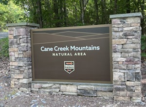
Cane Creek Mountains Northern Approach Loop
2.32 mi / 351 ft gainThe Cane Creek Mountains Natural Area is a nature park in the Piedmont Region of North Carolina. Pine Hill Trailhead is the first phase of the park and includes 3.5 miles of trails. All the trails are color-coded and marked with matching blazes every tenth of a mile. The 2.5-mile Northern Approac...Read more -
Graham, North Carolina
Saxapahaw Island Park
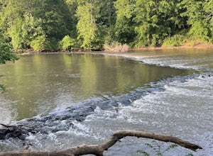
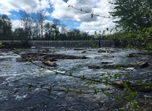
1.3 mi / 30 ft gainSaxapahaw Island Park is an urban park along the Haw River. The Saxapahaw Island Loop Trail is a well-maintained 1.3-mile loop. The trail parallels a section of the Haw River Trail/Mountains-to-Sea Trail. Many park visitors run laps around the loop while others fish along the river's edge, chil...Read more -
Apex, North Carolina
Camp at Jordan Lake State Park
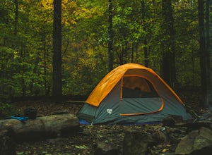
4.0We passed by Jordan Lake on the way home from a soccer match, and the kids asked if we could camp there before summer's end. We lucked out and found a spot available online to reserve Labor Day weekend, so we packed up and headed out for a couple of relaxing days by the lake.The camping offerings...Read more -
Burlington, North Carolina
Rock Creek Trail
1.75 mi / 167 ft gainCedarock Park is a 500-acre park named for the abundance of cedar trees and rock outcroppings. The park features a network of hiking and equestrian trails, disc golf and footgolf courses, primitive camping, a fishing pond, canoe and kayak rentals, basketball and volleyball courts, picnic shelters...Read more -
Chapel Hill, North Carolina
North Carolina Botanical Garden
1.46 mi / 157 ft gainNorth Carolina Botanical Garden is a loop trail where you may see beautiful wildflowers located near Chapel Hill, North Carolina.Read more -
Chapel Hill, North Carolina
Old Field Bluff Trail
3.08 mi / 223 ft gainOld Field Bluff Trail is a loop trail that takes you by a river located near Chapel Hill, North Carolina.Read more -
Cary, North Carolina
Bond Park Lake Trail
5.02.02 mi / 108 ft gainBond Park Lake Trail is a loop trail that takes you by a lake located near Cary, North Carolina.Read more -
Morrisville, North Carolina
Hatcher Creek Greenway
5.05.25 mi / 112 ft gainHatcher Creek Greenway is an excellent paved walking, running, and biking path in Morrisville, NC. This greenway connects to Crabtree Lake Greenway. You can also use this greenway to travel to the Morrisville community library, Morrisville Community Park, and access shopping and restaurants in th...Read more -
Durham, North Carolina
Rhododendron Bluff Circuit
2.93 mi / 331 ft gainRhododendron Bluff Circuit is a loop trail that takes you by a river located near Chapel Hill, North Carolina.Read more -
Burlington, North Carolina
Fish the Haw River in Great Bend Park
2.00.4 miAfter parking at Great Bend Park, follow the trail about 100 yards to a bridge which provides you access to a 5-acre island that overlooks the dam's waterfall. While the Haw River is easy to wade, the island offers a number of bank fishing spots for those who would prefer to keep their feet on so...Read more

