San Luis Obispo County, California
Looking for the best photography in San Luis Obispo County? We've got you covered with the top trails, trips, hiking, backpacking, camping and more around San Luis Obispo County. The detailed guides, photos, and reviews are all submitted by the Outbound community.
Top Photography Spots in and near San Luis Obispo County
-
Santa Margarita, California
Rinconada Mineral Mines
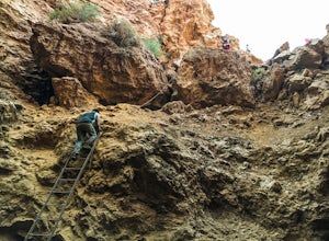
1.32 mi / 472 ft gainMy friends and I recently visited this abandoned mercury mine. The site was cleaned-up by the EPA many years ago, but much of the old equipment remains. Up the hill from the equipment are several deep cuts in the earth and a humongous hole in the ground. The sediment at edges of this hole are VER...Read more -
San Luis Obispo, California
Mountain Bike Cuesta Ridge
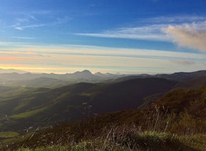
5.07 mi / -1600 ft gainStart at the parking lot directly off of Highway 101, head up TV tower Road for 2.8 Miles and a 900' climb from 1500' to 2400'. The trail is an old fire road that has degraded over the years and is full of potholes. Starting October 2015, the road has been closed to vehicles as its being repaved ...Read more -
Oceano, California
Catch a sunset at the Oceano Dunes
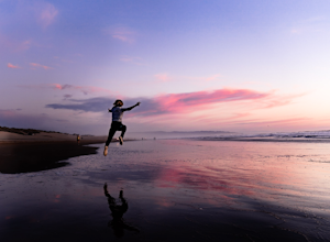
Driving on the beach is fun, and there are few places in California where you can legally do it. Just south of Pismo Beach you'll find Oceano Dunes. Pay the $4.00 entrance fee and drive your car right onto the beach. Keep an eye on tides and watch out for deep sand and sneaker waves! You won't be...Read more -
San Luis Obispo, California
Catch the Sunset at the Avila Sea Caves
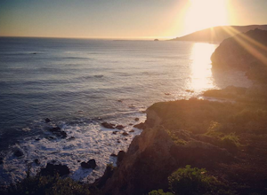
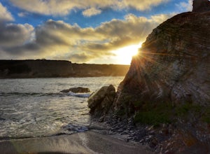
4.0When I attended Cal Poly San Luis Obispo, I would come out to this place to watch the sunset. It was my favorite spot to sit on a rock and take in the beautiful scenery as the sun went down. You don't really have to hike to get a nice view, you can park the car and walk out to the rock cliffs and...Read more -
San Luis Obispo, California
Point San Luis Lighthouse via Pecho Coast Trail
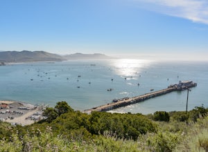
3.4 mi / 879 ft gainThis guided roundtrip hike to Point San Luis Lighthouse has one of the best views of the central coast coastline. You will get a chance to see the Avila Beach, Avila Pier, Call Poly Pier, and Harford Pier from a high point. The trail crosses through a land owned by PG&E; therefore, the hike...Read more -
Arroyo Grande, California
Explore the Guadalupe-Nipomo Dunes
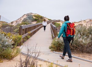
The Guadalupe-Nipomo Dunes and nearby Lake Oso Flaco are home to many endangered and threatened species of plants and animals. A beautiful, short boardwalk takes you from the parking lot, over Lake Oso Flaco, and through the dunes before arriving at the ocean. Enjoy the local wildlife and abundan...Read more -
Baywood-Los Osos, California
Baywood Park & Pier
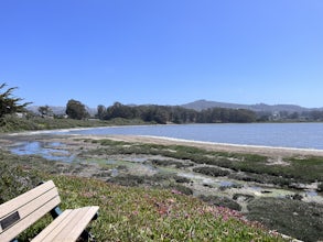
5.0A quiet little beach front, with a raised boardwalk and beautiful views all around. A great place to walk the dog or take small children. Amazing sunsets and A+ for bird watching. Excellent spot to launch a kayak, canoe, or SUP. But watch the tides before you do. The water is usually glassy when ...Read more -
Morro Bay, California
Photograph the Rock at Morro Bay
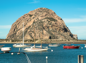
4.8Morro Bay is located west about 13 miles of San Luis Obispo. Typically Pismo Beach and San Luis are the go to spots when traveling to that area, but after spending the day there I would highly recommend giving it a visit! The first thing you'll see when pulling into downtown Morro Bay is the mas...Read more -
San Luis Obispo County, California
Camp at Montaña de Oro State Park
5.0Located about 7 miles south of Morrow Bay, follow Los Osos Valley Rd into the state park. Watch for the signs to park, as you will be cited after 10pm.The campground is located just across the road from the famous Spooner's cove, but there are any number of trails and hikes you can enjoy (check ...Read more -
San Luis Obispo County, California
Spooner's Cove
5.0Spooner’s cove is one of those small hidden beaches where you can watch stunning sunsets in a peaceful environment. Located in Montana De Oro State Park, the small gem is surrounded by countless hikes and camping spot. It is also one of the only areas of the park that is dog friendly. If you are ...Read more -
Paso Robles, California
Bike Peachy Canyon
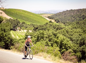
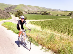
10.5 mi / 2200 ft gainPeach Canyon is the *the* iconic cycling road in the Paso Robles area, beginning downtown and connecting with many other roads in the mountains west of town making for numerous beautiful loops through vineyards, orchards, and black oak groves. Peachy Canyon Road begins at Olive and 6th Street and...Read more -
Santa Margarita, California
Photograph Wildflowers at Carrizo Plain National Monument
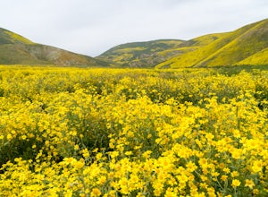
5.0Driving in from Hwy 58 East, you will be passing through a grapevine, and through some hills. Once you hit the Seven Mile Road, you will start to see fields of yellow flowers all around you - this is where the adventure starts. Just continue to drive along the road until you find a great spot to ...Read more -
Santa Maria, California
Bike Foxen Canyon Road
29 mi / 2400 ft gainFoxen Canyon Road from Santa Maria to Los Olivos runs through some of the most beautiful wine country in Santa Barbara county so much so that it was centerpiece of the film Sideways. The road itself begins at the intersection of Betteravia and Philbric roads just east of Santa Maria and proceeds ...Read more -
Paso Robles, California
Kayak Lake Nacimiento
Lake Nacimiento near Paso Robles, CA is a gorgeous reservoir used for kayaking, paddle boarding, and all manner of water sports. To get there, from Highway 101 take the 24th street exit in Paso Robles west till it turns into Lake Nacimiento Drive. Lake Nacimiento Drive will eventually turn into G...Read more -
Paso Robles, California
Hike the Shoreline Trail
1.05.5 mi / 1100 ft gainThe Shoreline Trail on Lake Nacimiento near Paso Robles, CA is a 5.6 mile trail used for hiking and trail running and located near Lake Nacimiento Resort. To get there, from Highway 101 take the 24th street exit in Paso Robles west till it turns into Lake Nacimiento Drive. Lake Nacimiento Drive w...Read more -
Los Olivos, California
Dispersed Camp in Los Padres National Forest (near Davy Brown Campground)
7 mi / 2000 ft gainI was looking for a last minute adventure out of LA and found this epic view. Easy backpacking trip for one night, no permits needed, less than 3.5 hours from LA, and secluded. Go to REI and pick up your adventure pass for your car. Plug into your GPS "Davy Brown Campground" in Los Olivos / Los...Read more

