Ansel Adams Wilderness, California
Top Spots in and near Ansel Adams Wilderness
-
Mammoth Lakes, California
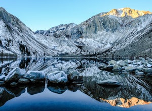
In 1871, a group of inmates escaped from a prison and were ambushed near the lake by a posse who had tracked them down. The inmates escaped the shoot out after killing two of the men in the posse and the lake now had a name – Convict Lake.
You won’t witness a wild west shootout here, but if you ...
Read more
-
Yosemite Valley, California
5.0
10.98 mi
/ 2700 ft gain
Take the Valley shuttle to Mirror Lake Trailhead where you will begin your hike.
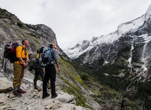
After a flat 2 miles, you will begin the steep three miles up to snow creek as you take one switch back after the next. This steep climb will reward you with beautiful views of Tenaya Canyon and give you a differen...
Read more
-
Mono County, California
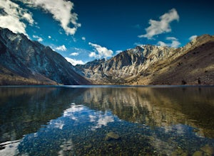
Many people come to Convict lake for the fishing. Convict is located only 2 miles off the main highway in the Eastern Sierras. The lake is clear and pristine with beautiful views. There are various ways to fish here; some rent out boats or bring their own and cruise around the lake fishing. O...
Read more
-
Mono County, California
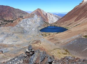
Directions The hike for Mount Baldwin starts at the Convict Lake trailhead. The turn off for Convict lake is about 4.5 miles south of the Mammoth Lakes exit along the 395 and roughly 35 miles North of Bishop, CA. Take this exit and follow the road West towards the mountains. Turn right at the ...
Read more
-
Yosemite Valley, California
Getting There
Starting in Yosemite Valley, head to the Snow Creek trailhead just past Muir Meadows. Start the hike early in the morning, since it gets pretty hot in the summer and the last part of the hike is in the sun.
The Trail
You'll hike more than 140 switchbacks to reach the top of Ba...
Read more
-
Yosemite Valley, California
Also known as Tenaya Creek Falls or Three Chutes Falls, this spot is loved by locals and is definitely worth the hidden trail and scramble over rocks. The hike takes you along Tenaya Creek, Mirror Lake, and a boulder-filled canyon. Great for photos or for relaxing by some secluded falls.
To get t...
Read more
-
-
37.739698,-119.564018
5.0
20.43 mi
/ 2700 ft gain
This is truly a beautiful hike. Although it’s not the easiest, you are rewarded by the views. From the Mirror Lake trailhead (shuttle stop #17), it is 0.9 miles to the Snow Creek trailhead and 1.7 miles to the Snow Creek overlook where you can camp in close proximity.
Once you reach the top, you...
Read more
-
Yosemite Valley, California
4.6
2.56 mi
/ 190 ft gain
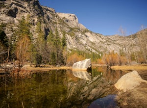
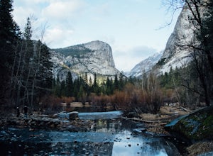
Mirror Lake is a very popular spot in the Yosemite Valley and definitely a must see to check off your explore list. Crowds are much smaller if you go during the winter, but some parts of the water might be iced over.
The trailhead you take to get there is well marked and can be found at the far ...
Read more
-
Yosemite Valley, California
4.6
7.23 mi
/ 2815 ft gain
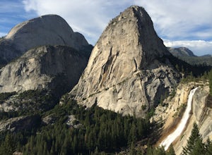
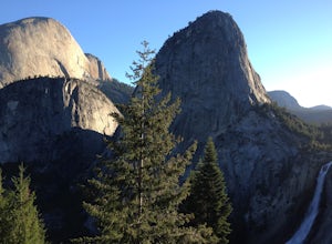
This popular hike starts near Happy Isles in Yosemite Valley. The first mile of the trail is paved and almost entirely uphill. You will come to the footbridge which tends to be very crowded. About 0.2 miles beyond the footbridge, the Mist Trail and the John Muir Trail diverge. Follow the Mist Tra...
Read more
-
Yosemite Valley, California
4.8
15.94 mi
/ 4800 ft gain
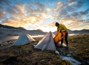
Be sure to arrive early early in the morning to beat the crowds or if you want to break up the hike, first-come, first served campsites are available at Little Yosemite Valley Campground - make sure to check out the details in that adventure and obtain a wilderness permit. Even if you are just da...
Read more
-
Yosemite Valley, California
5.0
203.17 mi
/ 44944 ft gain
To thru hike the JMT is probably one of the sickest trips to do! It's not a heavy commitment like the PCT or AT but it's also no week long vacation from work, backpacking the woods of your local forests either. There's a sweet spot in thru hiking and I believe this trail gives the full taste. You...
Read more
-
Mono County, California
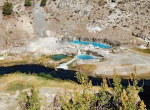
Hot Creek Geological Site is a must see when you are in the Mammoth Lakes area. It is just West of Highway 395 and only minutes form the town of Mammoth Lakes, which has great food, a ski resort, world class mountain biking, and a brewery. Bishop is about 40 minutes South which is well known for ...
Read more
-
Mammoth Lakes, California
Hot Creek Interpretive Trail is a loop trail that takes you by a hot springs and good for all skill levels located near Mammoth Lakes, California.
Read more
-
Mariposa County, California
Porcupine Creek Trail to Indian Ridge Natural Arch to North Dome is an out-and-back trail where you may see beautiful wildflowers located near Yosemite Valley, California.
Read more
-
Mariposa County, California
4.0
23.85 mi
/ 6942 ft gain
Start from Glacier Point around 7,200 feet leaving on the Panoramic Trail. Head down 2 miles to Illilouette Falls (5,800 feet). Once you cross the bridge at Illilouette Falls you go up Panorama Point and head back down to Nevada Falls (5,971 feet). Once you reach Nevada Falls fill up on as much w...
Read more

