Ansel Adams Wilderness, California
Top Spots in and near Ansel Adams Wilderness
-
Wawona, California
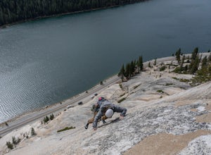
This is a great 5.7/5.8 linkup for anyone looking for an intermediate climb in Tuolumne. Always read through beta on Mountain Project and Super Topo and having the book on hand is always a good idea.
To find the route, this photo is super helpful. The flake is pretty obvious, it's the one feature...
Read more
-
Mariposa County, California
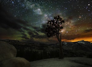
Just off the side of the highway, look for the pullout for Olmsted Point on your Map. There is a parking area with about 25 parking spots and the lookout point with the tree is right next to there. Come in the summertime and during a new moon to get the best views of the Milky Way. Never crowded,...
Read more
-
Lee Vining, California
If you are visiting Mono Lake, the Panum Crater Trail is not to be missed! From 395, take highway 120 east for about 2.5 miles. Look for a small wooden sign for Panum Crater and turn left onto a dirt road. If you reach the turn-off to the South Tufa Area, you have gone too far! After about a mile...
Read more
-
Lee Vining, California
Mono Lake Vista Point is a quick pull off on the right side of Highway 395 as you’re headed south toward Mono City.
The pull off is fairly big and is a great spot to pull over quickly to take in a view of Mono Lake and the greater area.
Read more
-
Mariposa County, California
4.0
2.34 mi
/ 489 ft gain
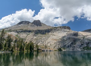
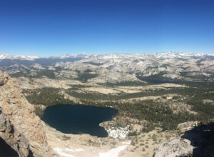
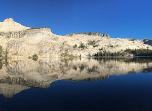
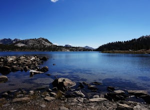
May Lake is a stunning, serene subalpine lake that rests at the base of Mt. Hoffmann. The May Lake turnoff is located four miles past Tenaya Lake. From the turnoff, it's 1.8 miles to the trailhead parking lot.
During summer time, I will recommend getting to the parking area early to get a spot ...
Read more
-
Mariposa County, California
The May Lake trailhead is at the end of a 2-mile unpaved road leading north from Tioga Road. The trailhead has pit toilets and bear lockers. (Please be sure to store any food, garbage, scented items, and empty coolers in these lockers while hiking!)
After hiking an easy 1.3 miles, you'll arrive ...
Read more
-
Mariposa County, California
This is a solid, day long trip. It is a great hike with a bit of a scramble on the way up to the summit massif and then again at the nearly 11,000-foot peak of Mount Hoffmann. You will have what John Muir described as his favorite view of Yosemite. You can look down onto Half Dome and across the ...
Read more
-
Lakeshore, California
You'll find an ample supply of warm, sunny campsites here. After a tough climb leading up to this area, a plunge in the cold water and sunbathing on the warm granite surrounding the lake is just what the doctor ordered. This is one of the sites that you want to plan around - even if you arrive at...
Read more
-
Lee Vining, California
DirectionsAlthough North Peak lies right on the border of Yosemite, the hike starts just outside the park at the Saddle Bag Lake trail-head. There are also some campsites here if you wish to spend the night, but I think they are usually in high demand and hard to come by. To get to Saddlebag Lak...
Read more
-
Lee Vining, California
5.0
7.81 mi
/ 915 ft gain
This trail is overall very easy to hike, but the 9.1mi distance at a 10,000ft altitude is what makes it a bit of a doozy for people who aren't frequent hikers. That said, if you are a relatively in-shape individual, you should have no problem with this trail. Remember to take frequent water bre...
Read more
-
Lee Vining, California
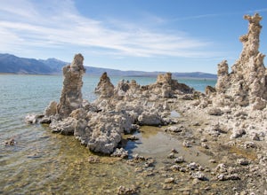
Mono Lake is was formed at least 760,000 years ago, making it one of North America's oldest lake. Explore the coastline of this unique lake filled with unusual rock formations called tufas. Photograph the tufa towers with the majestic mountains in the background. The towers can make for some very...
Read more
-
Lee Vining, California
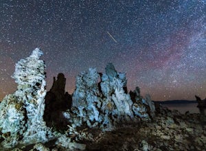
This past spring, I got the urge to photograph the Milky Way over the other-worldly landscape of Mono Lake, a large, desert saline lake at the edge of the eastern Sierras in California. One of the the lake's defining features is it’s incredible tufa rock formations, a variety of limestone. The e...
Read more
-
37.732842,-119.557782
4.8
16.87 mi
/ 3200 ft gain
The Panorama Trail is an outstanding hike that takes you from the Yosemite Valley floor up to Glacier Point. Or you can hike it downhill going from Glacier Point to Yosemite Valley. You can camp and make it an overnight trip or do it as a day trip by leaving a car at one end and taking a park sh...
Read more
-
Mariposa County, California
4.6
13.88 mi
/ 4800 ft gain
First things first. You will need to get a wilderness pass by entering the lottery for Half Dome access. If you don't get a pass via lottery just go to the Yosemite Valley visitor center, tell the clerk you are backpacking to Little Yosemite Valley and that you would like to hike up Half Dome. Th...
Read more
-
Mariposa County, California
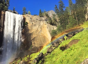
Vernal Fall Foot Bridge Trail via Mist and John Muir Trail is a loop trail that takes you by a waterfall located near Yosemite Valley, California.
Read more
-
Yosemite Valley, California
4.9
3.11 mi
/ 1319 ft gain
This is one of the most epic short hikes that you can do in Yosemite. Highly recommend it for anyone staying in the valley or visiting with enough time for a 2-3 hour hike. While the distance isn't long, you will stop a lot along the way to take in the beauty and also spend time at the top of the...
Read more

