Ansel Adams Wilderness, California
Top Spots in and near Ansel Adams Wilderness
-
Mammoth Lakes, California
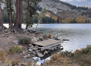
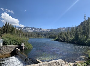
The Lake George Loop is perfect for exploring the shoreline and fishing near the top of the Mammoth Lakes wilderness. The lake can get quite cold due to the elevation and surrounding mountains not allowing the sun to hit it for an extended time, but if you go during mid-day you should have a refr...
Read more
-
Mammoth Lakes, California
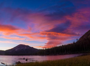
Lake Mary is the largest of the 11 lakes in the Mammoth Mountain area. Explore the lake’s perimeter and find your own perfectly peaceful place to watch one of Mammoth’s signature stunning sunsets. Parking is easy to come by either on the side of the road or at the marina parking lot up the road.B...
Read more
-
Mammoth Lakes, California
5.0
4.43 mi
/ 554 ft gain
Lake Basin Path is an out-and-back trail where you may see beautiful wildflowers located near Mammoth Lakes, California.
Read more
-
Mammoth Lakes, California
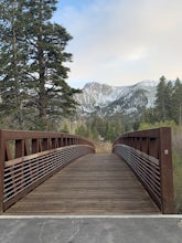
The Waterford Gap bridge creates a picturesque view of the Eastern Sierra as it crosses over Mammoth Creek as part of the town loop and connects Majestic Pines Dr, which runs up to Eagle Lodge, with old Mammoth Road, which is a main road along the south and east edges of town. This is a great spo...
Read more
-
Lee Vining, California
Directions (from south of June Lake): 395 northTurn right onto the 158Keep right at fork onto Parker Lake Rd and go about 0.5 milesTurn right at first right and head all the way to the top until you hit a parking lot/camping ground/trail head From North of June Lake: 395 southTurn left at 158Keep...
Read more
-
Crowley Lake, California
4.0
1.76 mi
/ 417 ft gain
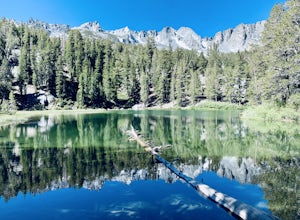
Emerald lake is a relatively short 1.7 mile out-and-back hike. There is ample parking at the parking lot and trailhead. There is also overflow parking at the upper lot for Duck Lake and Skelton Lake.
The trail has a decent amount of uphill, but you should arrive shortly (<30 mins) at your de...
Read more
-
Mammoth Lakes, California
4.7
9.29 mi
/ 1880 ft gain
The Duck Pass trail in the John Muir Wilderness combines breathtaking views, wildflowers and plenty of icy mountain lakes for swimming into a trail that is moderate in both difficulty and distance. With multiple lakes along the way to pitch your tent and plenty of day hike options from a base cam...
Read more
-
Mammoth Lakes, California
5.0
2.25 mi
/ 538 ft gain
If you make your way to the Goldwater Campground there is plenty of parking. The trailhead you take leads to many lakes but the Duck Pass trailhead is the on you want to take.
This is a easy trail to follow and walk with very little obstacles. You follow it along for around a mile and you won't ...
Read more
-
Mammoth Lakes, California
As many of the other hikes start in this area, you start at the Goldwater Creek Campground where there is plenty of parking and restrooms. You will take the Duck Pass Trailhead for this hike.
• I wanted to point out that this is not the easiest hike to do as a day hike. Many people do overnighte...
Read more
-
Mammoth Lakes, California
The hike to Skelton Lake in Mammoth Lakes, CA starts off at the Duck Lake Pass trailhead just past Lake Mary. The hike starts off with quite a few switchbacks as you climb through the John Muir Wilderness. About one mile up the trail, you'll see an option to veer off to Arrowhead Lake. Continue o...
Read more
-
Mammoth Lakes, California
5.0
2.11 mi
/ 500 ft gain
You will see a couple of trailheads starting by parking at the Coldwater Creek Campground parking lot. This one is specifically marked Heart Lake. There will be a couple of forks in the trail, but if you stay right and on the more obvious path, you will be up to Heart Lake in no time. (Going left...
Read more
-
Mammoth Lakes, California
Shady Rest Park is located on Sawmill Road just minutes from the Mammoth Lakes town center. Start off by crossing through the parking lot headed north towards the large open field covered in snow. The open field is a great place to walk around and become comfortable with wearing and walking in sn...
Read more
-
Tuolumne County, California
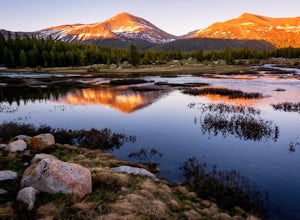
Yosemite is filled with some amazing views but rarely do you get to experience these views by yourself. This hidden treasure is located off of Tioga Pass, is near some of Yosemite’s most popular hikes, and offers an outstanding sunrise and sunset views without the crowds.
Located 2.5 miles Sout...
Read more
-
Tuolumne County, California
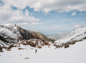
Start the hike at the Mono pass trail. You'll eventually take the fork towards Parker Pass a couple miles in. We tackled the trail in late spring, and it quickly became clear that there was still enough snow to make our lives difficult. As we climbed out of the Parker drainage, the trail essenti...
Read more
-
Tuolumne County, California
This trip begins in Yosemite National Park and can be completed as an out-and-back or by hiking one-way to the Ansel Adams Wilderness and exiting at Silver Lake on the east side of the mountains. Start at the Mono/Parker Pass trailhead, a few miles past Tuolumne Meadows. Don't forget to make a pe...
Read more
-
Mammoth Lakes, California
5.0
4.42 mi
/ 850 ft gain
Just outside the town of Mammoth Lakes, CA is the Sherwin Lakes Trailhead. An easy 10 minute drive down some dirt roads will get you to the dirt parking lot where you can safely leave your vehicle and begin your fairly easy 2.5 mile hike to Sherwin Lakes. (Valentine Lake is not much further beyon...
Read more

