Williams, Arizona
Looking for the best photography in Williams? We've got you covered with the top trails, trips, hiking, backpacking, camping and more around Williams. The detailed guides, photos, and reviews are all submitted by the Outbound community.
Top Photography Spots in and near Williams
-
Sedona, Arizona
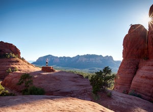
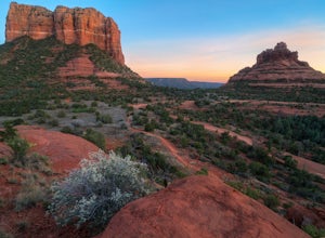
Broken Arrow Trail to Chicken Point
4.62.79 mi / 420 ft gainStart your hike at the Broken Arrow Trailhead, just .2 miles past the end of Morgan Rd. You will be immediately greeted by Sedona slickrock trails and red rock views for days! Take a minute to sneak a peek at Devil's Dining Room Sinkhole around 0.6 miles in. It has a sign and is just of to the ri...Read more -
Sedona, Arizona
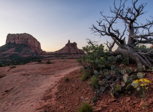
Hike or Bike the Hiline Trail in Sedona
5.08 mi / 480 ft gainStart this incredible hike by parking at the Yavapai Point parking lot. Start the short hike (0.13 miles) on the Kaibab Trail which will run into Yavapai Vista Trail (0.27 miles) towards the Slim Shady Trail. Here you will have an incredible view of Bell Rock and Courthouse Vista an excellent pla...Read more -
Flagstaff, Arizona
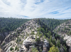
Hike the Island Trail, Walnut Canyon
3.41 mi / 200 ft gainThe trail is a short one - stretching only a mile in length. The only semi-strenuous portion of the trail is at the beginning and end where you start by descending a set of stairs in order to reach the trail that loops around the historic cliff dwellings. Since this is a loop trail, the same set ...Read more -
Flagstaff, Arizona
Hike the Rim Trail at Walnut Canyon National Monument
4.00.7 miHike the trail starting from the visitor center and take your time walking along the rim. Be sure to admire the canyon below and the ancient dwellings in the canyon walls. During the right season, there are also beautiful wildflowers along the way. This trail is partially paved and easy to walk.Read more -
Sedona, Arizona
Baby Bell Rock
5.01.03 mi / 112 ft gainAt roughly a 1 mile loop, the Bell hike is a short but very sweet hike with high reward, it's an amazing spot to sit an watch the sun dip below the horizon and if you're lucky, may even have the view to yourself. Accessing the hike is best started at the Bell Rock Parking lot, if you're heading ...Read more -
Flagstaff, Arizona
SP Crater
1.96 mi / 341 ft gainOff of the 89, just north of Flagstaff AZ, there is an unmarked dirt road just before a gas station. It leads out to privately owned land that's open to the public. Some friends and I went out there to get away from our day jobs. As we headed down the road, the land opened up in vast expanses of ...Read more -
Flagstaff, Arizona
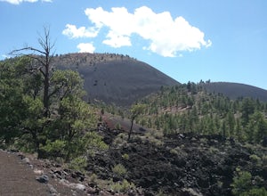
Hike the Lava Flow Trail at Sunset Crater Volcano National Monument
5.01 miGet started on the hike from the parking lot. The first quarter mile is paved and very easy to walk. The rest of the trail takes you to the base of the volcano through lava flows and tubes. This is an incredible landscape to take in along your hike.Read more -
Flagstaff, Arizona
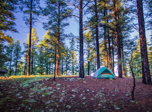
Camp at Pine Grove Campground
Pine Grove Campground in Flagstaff Arizona is a hidden gem. Upper and Lower Lake Mary, Ashurst, Marshall and Kinnikinick lakes are nearby and can provide ample recreational activities.The campsites are clean and have all the luxurious amenities (Coin-operated showers, tables, fire rings and cooki...Read more -
Flagstaff, Arizona
Camp at Ashurst Lake
Ashurst Lake is South East of Flagstaff and not too far from Mormon Lake. It's an easy drive that any car can do. There is a a short section of well-maintained dirt road. Keep in mind the current fire regulations for the area as well as the lake's water level if you're panning to launch your boat...Read more -
Prescott, Arizona
Camp at Watson Lake in Prescott
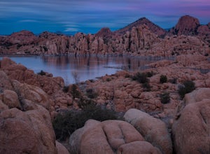
3.0Camping sites are only available in the summer months but the park is explorable year round! Watson Lake is a very unique place, in a state primarily made up of sandstone lies a lake surrounded by uniquely shaped Granite Boulders, excellent for hiking, rock climbing and photographing! Be sure to ...Read more -
Yavapai County, Arizona
Hike to Montezuma's Well
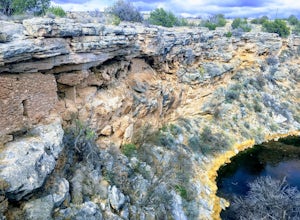
5.00.5 mi / 117 ft gainThis trail takes you to the rim of Montezuma Well, a massive collapsed limestone sinkhole. The springs at the bottom of the sinkhole feed a large pond which supports a unique aquatic habitat in this dry landscape. Scientists are still baffled as to the origin headwaters of the water within this c...Read more -
Yavapai County, Arizona
Explore Montezuma's Castle National Monument
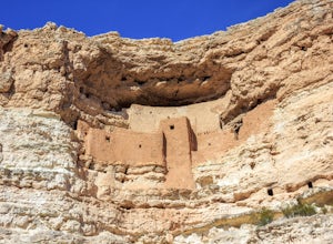
4.6Montezuma Castle is actually one of the United State's first National Monuments. This five story 50 room cliff dwelling is one of the best preserved in all of North America. There is a short interpretive walk along the cliff in which one can see the many remnants of the previous inhabitants.The S...Read more

