Cottonwood, Arizona
Looking for the best hiking in Cottonwood? We've got you covered with the top trails, trips, hiking, backpacking, camping and more around Cottonwood. The detailed guides, photos, and reviews are all submitted by the Outbound community.
Top Hiking Spots in and near Cottonwood
-
Black Canyon City, Arizona
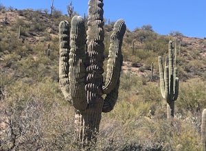
Zig Zag Trail
3.04.61 mi / 436 ft gainZig Zag Trail is a loop trail that takes you by a river located near Canyon City, Arizona.Read more -
Flagstaff, Arizona
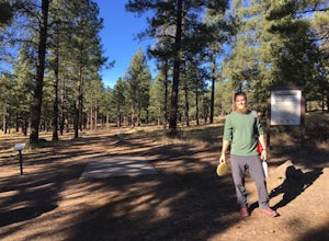
Frisbee Golf at McPherson's
1 miMcPherson's is a public disk golf course five minutes north of downtown Flagstaff. The course is seasonally open from May - November. There are no tee times, and it is free to play. A somewhat tightly wooded 18-hole course with multiple pin placements makes this fun for beginners and a challenge...Read more -
Black Canyon City, Arizona
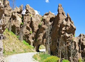
Castle Creek Road to Cleator
4.010.59 mi / 1677 ft gainCastle Creek Road to Cleator is a point-to-point trail where you may see beautiful wildflowers located near Black Canyon City, Arizona.Read more -
Flagstaff, Arizona
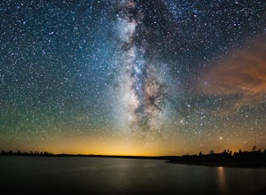
Camp at Ashurst Lake
Ashurst Lake is South East of Flagstaff and not too far from Mormon Lake. It's an easy drive that any car can do. There is a a short section of well-maintained dirt road. Keep in mind the current fire regulations for the area as well as the lake's water level if you're panning to launch your boat...Read more -
Flagstaff, Arizona
Hike the Island Trail, Walnut Canyon
3.41 mi / 200 ft gainThe trail is a short one - stretching only a mile in length. The only semi-strenuous portion of the trail is at the beginning and end where you start by descending a set of stairs in order to reach the trail that loops around the historic cliff dwellings. Since this is a loop trail, the same set ...Read more -
Flagstaff, Arizona
Hike the Rim Trail at Walnut Canyon National Monument
4.00.7 miHike the trail starting from the visitor center and take your time walking along the rim. Be sure to admire the canyon below and the ancient dwellings in the canyon walls. During the right season, there are also beautiful wildflowers along the way. This trail is partially paved and easy to walk.Read more -
Happy Jack, Arizona
Car Camp the Mogollon Rim
4.8The Mogollon Rim is part of the Colorado Plateau in eastern Arizona above Payson. The rim stretches across the Coconino National Forest and at some parts drops off nearly 2,000ft. This area is ideal for over-night car-camping. The expansive vistas above thousands of acres of national forest land ...Read more -
Flagstaff, Arizona
Hike Fatman's Loop
5.02.5 mi / 690 ft gainSitting on the eastern slope of Mt Elden is a super fun multi-use trail called Fatman's Loop. It's a perfect spot for hiking, trail running, day strolling, or walking the pup. All the while, treating you to glimpses of the eastern suburbs of Flagstaff, beautiful wild flowers, and cool rock format...Read more -
Pine, Arizona
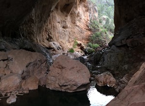
Hike the Pine Creek Loop in Tonto Natural Bridge SP
4.71.8 mi / 300 ft gainThere is a fee to enter this area. It was $7 when we went. There are 4 trails with many viewpoints from the parking lot, all of which are out and back. We followed the recommendation of the ranger working at the visitor's center and took the Gowan Trail down to the observation deck located in the...Read more -
Flagstaff, Arizona
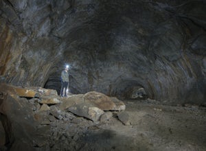
Explore Flagstaff's Lava River Cave
4.1If you’re looking for a truly unique hiking experience in Arizona, look no further than the Lava River Cave, 14 miles northwest of Flagstaff. The longest lava tube in Arizona, the cave was formed approximately 700,000 years ago after a volcanic eruption in Hart Prairie. As the lava from the erupt...Read more -
Black Canyon City, Arizona
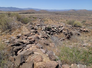
Explore Pueblo La Plata
0.25 miPueblo La Plata is the largest ancient Indian ruin in Agua Fria National Monument and dates back to before 1200 A.D. The ruin at one time had 80 to 90 rooms for living quarters. Now the sight seems like just a pile of rubble. However there is significant research continuing on the mesa of Agua Fr...Read more -
Flagstaff, Arizona
Bike along the San Francisco Peaks on Waterline Road
4.020 mi / 3000 ft gainWaterline Road is a closed service road that follows along the southern and eastern slopes of the San Francisco Peaks of Flagstaff, AZ. You will pass through several miles of charred ponderosa pine as well as expansive groves of aspen trees as you make your way to the Inner Basin.The road follows...Read more -
Coconino County, Arizona
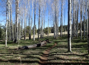
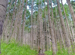
Hike Aspen Corner to Bismark Lake on the Arizona Trail
5.07 mi / 500 ft gainI started this hike at 7:00am. It was a perfect time of day. The sky was clear and the air was cool. I chose this section of the Arizona National Scenic Trail because I heard it passes through beautiful prairie and stands of Ponderosa Pine and Aspen trees. The trail did not disappoint! I started...Read more -
Flagstaff, Arizona
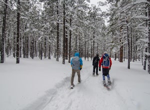
Snowshoe at the Arizona Nordic Village
2.5 miTo get to the Nordic Village from Flagstaff, just take the 180 North until you see the signs for the Nordic Village (on your right).Once at the Nordic Village, go inside the entrance building to buy your day pass ($10 for a snowshoeing day pass) and rent your gear. Feel free to bring your own sn...Read more -
Flagstaff, Arizona
Humphreys Peak Summit
5.09.57 mi / 2759 ft gainIf you think you might only get one chance to hike Humphreys Peak in your life, I recommend this hike so that you can have a unique view experience of the east and west sides of the Peaks. This is a shuttle hike of Humphreys Peak which combines the Humphreys Peak Trail and the Humphreys via Inner...Read more -
Flagstaff, Arizona
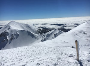
Winter Summit Humphreys Peak, Arizona
8.4 mi / 3335 ft gainFrom Flagstaff, take US-180 west towards the Grand Canyon. Take US-180 for 7 miles until you reach Snow Bowl Rd. Turn right/N onto Snow Bowl Rd and take this for 7 miles as it winds its way up the mountain. If it has recently snowed you will need chains for 2 wheel drive vehicles or 4 wheel drive...Read more

