Arizona
Looking for the best chillin in Arizona? We've got you covered with the top trails, trips, hiking, backpacking, camping and more around Arizona. The detailed guides, photos, and reviews are all submitted by the Outbound community.
Top Chillin Spots in and near Arizona
-
Marble Canyon, Arizona
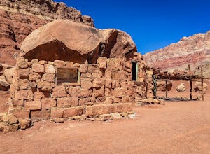
Explore the Cliff Dwellers in Marble Canyon
4.00.5 mi / 0 ft gainThe Cliff Dwellers is a unique tale that takes place the same year Prohibition began. Bill & Blanche Russel were driving through Marble Canyon when their automobile broke down. After several attempts to fix it, they found themselves camping overnight. As the sun rose the next day, they ironi...Read more -
Marble Canyon, Arizona
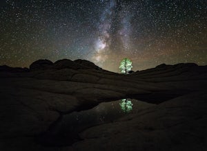
Night Photography at White Pocket
White Pocket is a remote outcropping of sandstone formations in Vermillion Cliffs National Monument similar to the famous "Wave". Unlike The Wave, a permit isn't needed to visit, but you will need a high-clearance 4WD vehicle with good tires; alternatively, you can hire a 4WD tour service in near...Read more -
Petrified Forest National Park, Arizona
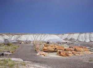
Crystal Forest Loop
4.30.92 mi / 49 ft gainThere really isn't much to this hike beyond exploring all the different types of petrified wood deposits. It's named after the wood that has formed in the petrified logs. I felt like it was the best place to go in the park to have an opportunity to see a diverse array of petrified wood in one p...Read more -
Gold Canyon, Arizona
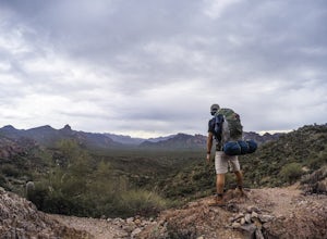
Bluff Springs Loop
4.014.55 mi / 2523 ft gainFrom the Peralta Trailhead, start hiking on Bluff Springs Trail. This trail will wind over a few hills past incredible views, and then take you down into a wash. In the wash you will intersect with the Terrapin Trail. Turn left onto the Terrapin Trail, and it will take you out of the wash and pa...Read more -
Sedona, Arizona
Hike to the Birthing Cave
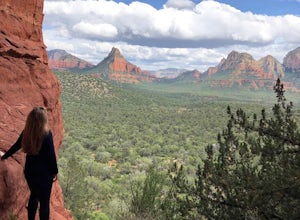
5.02 mi / 291 ft gainThe hike is an easy one, flat and not too long. In the spring you'll see lots of flowers. Note, the popularity of this Sedona cave has grown in the past year, so you will most likely encounter other hikers and mountain bikers. You start from the Long Canyon Trailhead, and I recommend going earl...Read more -
Prescott, Arizona
Hike Lynx Lake
4.83.52 mi / 182 ft gainStarting at the parking lot, you will have to pay your dues prior to beginning your hike. You will immediately be met with fresh air and refreshing summer temperatures. A short decent down will lead you to the first trail marker, which the 55-acre lake becomes the centerpiece of your view. At thi...Read more -
Sedona, Arizona
Fly Fish Oak Creek
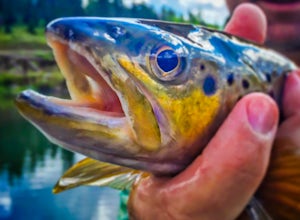
4.0Oak Creek is spring fed from the upper reaches of Oak Creek Canyon. It flows into the Verde River and the upper sections provide for some excellent trout fishing. The trout is stocked from Page Springs Hatchery, below this area the water becomes to warm for trout to survive. While in the area, yo...Read more -
Page, Arizona
Hike the Glen Canyon Dam Overlook
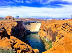
5.00.11 mi / 124 ft gainThe Glen Canyon Dam separates the Colorado River from Lake Powell. The terrain on this hike is uneven and rocky. The overlook is located on Scenic View Drive off of highway 89. Glen Canyon Dam is located in Glen Canyon National Recreation Area.Read more -
Tuba City, Arizona
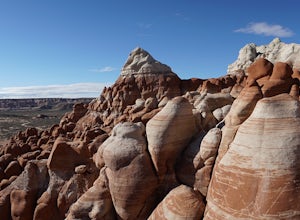
Explore Blue Canyon
5.0To reach Blue Canyon you must head down AZ 264 until you reach Indian pass 7 or 6660, it's the same road, turn west. The turn is not marked, it is only noticeable by a cattle guard. GPS coordinates are 35°58'15.92"N 110°49'47.26"W. From here on out the road is dirt and high clearance vehicle is r...Read more -
Grand Canyon Village, Arizona
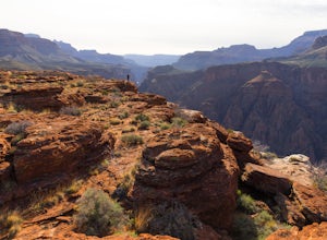
Utah Flats via Cremation Canyon
4 mi / 2527 ft gainNote: The spot on the map is the beginning of the hike into Cremation Canyon Campground. For the full report on getting there, check out this adventure. Heading out of the campsite at Cremation Canyon, look for hints of a trail where you will scramble up, following other boot prints and cairns t...Read more -
Phoenix, Arizona
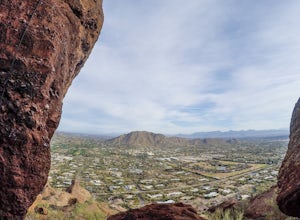
Climb the Praying Monk
4.30.5 miPark at the Echo Canyon Parking Area.From the trailhead, hike up Echo trail until your reach the saddle. At the saddle, you will turn south and start taking the climbers trail to the headwall, which is just past the sign that says "caution, active bee area." Once you reach the headwall, there a...Read more -
Flagstaff, Arizona
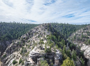
Hike the Island Trail, Walnut Canyon
3.41 mi / 200 ft gainThe trail is a short one - stretching only a mile in length. The only semi-strenuous portion of the trail is at the beginning and end where you start by descending a set of stairs in order to reach the trail that loops around the historic cliff dwellings. Since this is a loop trail, the same set ...Read more -
6871 Arizona 89A, Arizona
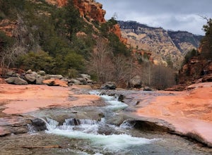
Explore Slide Rock State Park
4.6This beautiful State Park, which is the original location of the Pendley Homestead, is a historic apple farm (the apple trees are still there!). This is a favorite stop for families in the summertime, so if you come then, make sure to arrive early. It’s common to find throngs of people in the cr...Read more -
Page, Arizona
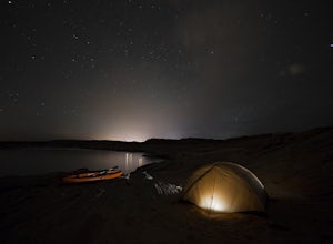
Kayak Camp on Lake Powell
3.7Kayak camping right on the beaches of Lake Powell and then paddling out into the stillness of the morning to hike antelope canyon is one of my all time favorite memories. Just across from the Antelope Point Launch Ramp is a fantastic beach with several flat areas that are perfect for tent campin...Read more -
Campground Loop B, Arizona
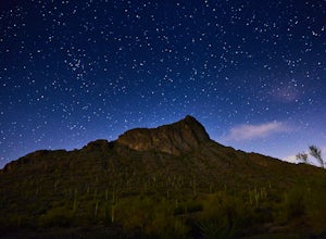
Camp at Picacho Peak State Park
3.1 mi / 800 ft gainDrive about 30 minutes west on I-10 from Tucson, AZ to the Picacho Peak Rd. Exit and follow the signs south to the park entrance. The campgrounds are about a half mile inside the main gate to the right.You can either make a reservation at Pichacho Peak State Park or arrive the day of and pay. Eve...Read more -
Sedona, Arizona
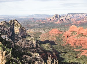
Hike Munds Mountain
6 mi / 1400 ft gainMunds Mt. is the highpoint due east of the town of Sedona, but due to its forested summit and trailhead accessibility limited to 4WD vehicles, it gets far less interest than hikes like Cathedral Rock, Wilson Mountain, or Fay Canyon yet has fantastic views of the town of Sedona and the surrounding...Read more

