Arizona
Looking for the best chillin in Arizona? We've got you covered with the top trails, trips, hiking, backpacking, camping and more around Arizona. The detailed guides, photos, and reviews are all submitted by the Outbound community.
Top Chillin Spots in and near Arizona
-
Lake Havasu City, Arizona
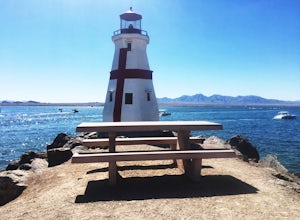
Camp at Lake Havasu State Park
4.0Lake Havasu is a premier lake dividing California and Arizona along with the Colorado River. Lake Havasu State Park has an abundance of amenities including 47 camp sites, 3 boat ramps, multiple picnic areas and a beach area. The state park sits just north of the famous London Bridge that was purc...Read more -
3693 South Old Spanish Trail, Arizona
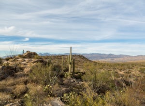
Drive the Cactus Forest Loop in Saguaro's Rincon Mountain District
5.08 mi / 550 ft gainSaguaro National Park is split into two different "districts" found east and west of Tucson. In the East-Rincon Mountain District you can find over 130 miles of hiking trails. However, for folks who don't have much time in the park, are with friends and family who aren't hikers, or are literally ...Read more -
Payson, Arizona
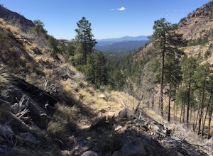
Hike the Colonel Devin Trail
4 mi / 1116 ft gainThe hike will begin at Washington Park in Payson, Arizona. To reach Washington Park, take AZ87 to Forest Road 199 (Houston Mesa Road) and turn east. Continue for 10 miles until you reach Forest Road 64 and turn west. Traveling less than a mile you will turn north on Forest Road 32 and in 3 miles ...Read more -
Lake Havasu City, Arizona
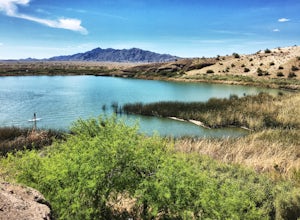
Stand Up Paddle in Castle Rock Bay
5.0The Castle Rock Bay is a bit out of the beaten path, making it a quiet place to relax on Lake Havasu. The parking lot can be found off a dirt road off of Vista Dr. You will see the Castle Rock sign to the left heading towards the lake on Vista Dr. Drive along the dirt road for 150 yards or so bef...Read more -
Grand Canyon Village, Arizona
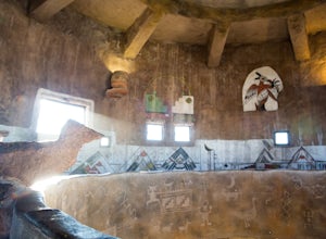
Visit the Desert View Watchtower
4.7While not a replica of any known watchtower along the Grand Canyon, the Desert View Watchtower is an art installation to honor the Hopi Native Americans. The watchtower was designed by Mary Colter, the same woman responsible for the Bright Angel Lodge renovations in 1935. Much of the painting wit...Read more -
Tonalea, Arizona
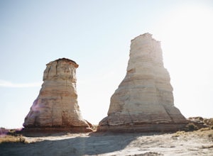
Photograph Elephant's Feet
Elephant's Feet is located 20 miles east of Tuba City on 160 right outside of Tonalea, AZ. This roadside stop is right off the highway - you definitely won't miss it when driving from either direction. There is plenty of space to park in the roadside pull off. Depending on the season, there may b...Read more -
Chambers, Arizona
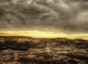
Blue Mesa Trail
4.50.98 mi / 115 ft gainThe easiest route is to drive from the southern entrance to the Petrified Forest National Park and head north toward the 3.5 mile Blue Mesa Scenic Drive. The drive itself is nice and offers other hikes depending on what pullout you stop your car. For the Blue Mesa Trail look for the 3rd or 4th ...Read more -
Phoenix, Arizona
Apache Wash Loop Trail
5.79 mi / 541 ft gainThis hike begins at the Apache Wash Trailhead where you will find restrooms and a covered rest area. This loop is simple to follow and offers various shortcuts along with an access to an optional summit climb. The loop begins from the north-east end of the parking lot near the restrooms. Turn l...Read more -
Payson, Arizona
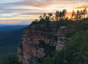
Dispersed Camping on Mogollon Rim (FR 9350)
4.7Dispersed camping with a view! With no site fees and no reservations, this camping spot is incredibly popular. Note that several campsites are bordered by a 200' vertical drop. This area is not recommended for families with young children or people who are uneasy with heights. All campsites ha...Read more -
Greer, Arizona
Hike the Government Springs Trail
6.25 mi / 68 ft gainTo find Government Springs Trailhead, follow State Route 260 to State Route 373 (the Greer Turnoff), turn right and follow State Route 373 to FR 575 until it ends. At the end of the road is a small parking lot with restroom facilities. The trail starts at the north end of the parking lot.This bea...Read more -
Willow Beach, Arizona
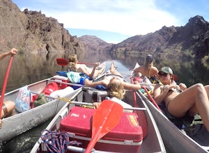
Canoe Camp from Willow Beach to Hoover Dam on the Colorado River
5.0First off, there is a lot of paddling involved...nothing too crazy, but just consistent. Most people start from the Hoover Dam and just float/ paddle down to the Arizona Hot Springs/ Camp and then finish at Willow Beach. But that also involves permits and you need to book it at least 6 months in ...Read more -
Show Low, Arizona
Hike the Show Low Bluff Trail
5.01.5 mi / 76 ft gainBuilt in 2012, this loop is part of the white mountain trail system and you may park directly at the trailhead. A paved walking path starts at the trailhead and leads you to a bridge that provides a beautiful view of Show Low Creek and the surrounding meadow. After crossing the bridge, you will e...Read more -
Flagstaff, Arizona
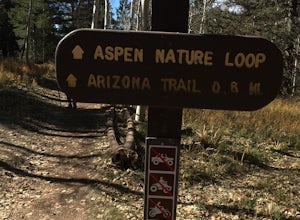
Hike the Aspen Nature Loop at Humphrey's Peak
5.01.8 mi / 300 ft gainThis is a great hike that has amazing views at all times of the year. This trail might be closed for skiing season, but I am not sure. I went in October, just before Halloween and the weather was perfect. The leaves were changing and there was a nice brisk breeze. The short loop makes it accessib...Read more -
Mesa, Arizona
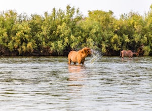
Photograph the Salt River Wild Horses at Coon Bluff
5.0Wild horses have roamed the banks of the lower Salt River since long before the Tonto National Forest was created in 1902. It is thought that these wild horses have descended from a herd brought to the area by a Spanish missionary in the 1600's. In 2015 the United States Forest Service had pu...Read more -
Monument Valley Navajo Tribal Park, Arizona
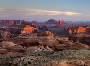
Explore Hunts Mesa at Monument Valley
/ 1200 ft gainThough there are many unique viewpoints from within and around Monument Valley, none is as grand as the view from Hunts Mesa! Not easily accessible, the only way to get to Hunts Mesa is through an authorized tour guide via a ~2 hour off-road drive around the backside of the mesa. Even if you did ...Read more -
Sedona, Arizona
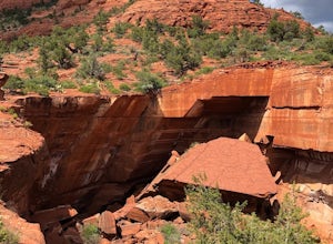
Devils Kitchen
5.00.35 mi / 23 ft gainGreat spot for photos, and is at the beginning of one of the best trails in Sedona. The parking lot can get full easily, since this is a very popular trail. The sinkhole is close to the trailhead, but I encourage you to continue on down the Soldier’s Pass trail. As with all outdoor advent...Read more

