Camp Verde, Arizona
Looking for the best photography in Camp Verde? We've got you covered with the top trails, trips, hiking, backpacking, camping and more around Camp Verde. The detailed guides, photos, and reviews are all submitted by the Outbound community.
Top Photography Spots in and near Camp Verde
-
Payson, Arizona
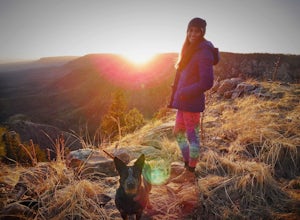
Mogollon Rim via Washington Park
4.04.32 mi / 1138 ft gainThis trail begins at the Washington Park Trailhead which meets up with passage #27 of the AZT. You begin traveling northbound as you ascend the great Mogollon Rim. The trail takes you through a gorgeous forest and rewards you with an awesome cliff side view at the summit. 2.25 miles into the tra...Read more -
Payson, Arizona
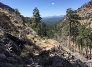
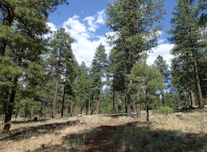
Hike the Colonel Devin Trail
4 mi / 1116 ft gainThe hike will begin at Washington Park in Payson, Arizona. To reach Washington Park, take AZ87 to Forest Road 199 (Houston Mesa Road) and turn east. Continue for 10 miles until you reach Forest Road 64 and turn west. Traveling less than a mile you will turn north on Forest Road 32 and in 3 miles ...Read more -
Williams, Arizona
Hike the Kelsey Spring/Hog Hill/Dorsey Spring Loop
13.4 mi / 2200 ft gainThis hike starts at the Kelsey Spring Trailhead. Park at the end of Forest Service Road 538G. There is parking for about 6-7 cars. Just past the signage for the trail, which is also called Kelsey Winter Trail, there is a trail registration box. Be sure to sign in. The trail descends steeply for t...Read more -
Payson, Arizona
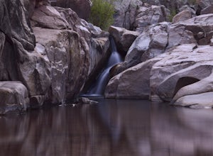
Water Wheel & Ellison Creek Cascades
4.91.76 mi / 272 ft gainA short and easy out and back hike for adventurers of all ages with scenic waterfalls along the entire trip! Starting at the Water Wheel day use area you will simply follow the well traveled path that meanders alongside the creek. You will reach the first significant waterfall within minutes whi...Read more -
Flagstaff, Arizona
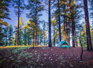
Camp at Pine Grove Campground
Pine Grove Campground in Flagstaff Arizona is a hidden gem. Upper and Lower Lake Mary, Ashurst, Marshall and Kinnikinick lakes are nearby and can provide ample recreational activities.The campsites are clean and have all the luxurious amenities (Coin-operated showers, tables, fire rings and cooki...Read more -
Flagstaff, Arizona
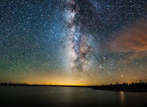
Camp at Ashurst Lake
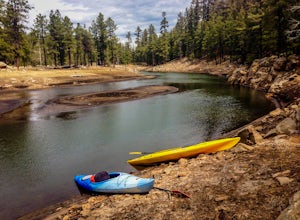
Ashurst Lake is South East of Flagstaff and not too far from Mormon Lake. It's an easy drive that any car can do. There is a a short section of well-maintained dirt road. Keep in mind the current fire regulations for the area as well as the lake's water level if you're panning to launch your boat...Read more -
Flagstaff, Arizona
Hike the Two-Spot Loop Trail
2.5 mi / 100 ft gainThis loop trail has two different starting points. You can start at the south end of Rogers Lake (which is what I did) or the north end. I hike in a clockwise direction. This is recommended if you are hiking in the late afternoon as I did. The sun will be at your back during the section that has ...Read more -
Flagstaff, Arizona
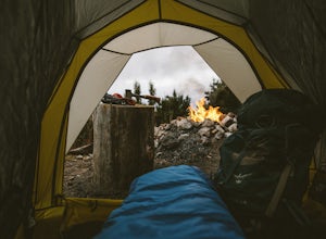
Camp at Red Rock
4.8Starting from Downtown Flagstaff we headed west. After making a left turn on Woody Mountain Road, we continued for 22 miles. Woody Mountain Road then becomes Forest Road 231. Continue on FS 231 until you find a killer spot to pitch it! Make sure to be wary of elk herds crossing the roads.We made ...Read more -
Coconino County, Arizona
Camp at Knoll Lake
5.0The Campground is seasonal and is located on the left just before the lake. There are 33 well-developed units that offer fire-rings, grills, drinking water and vault toilets. No reservations are accepted and you will need to check in with the camp host. From central Phoenix, take Loop 202 east to...Read more -
Flagstaff, Arizona
Hike the Island Trail, Walnut Canyon
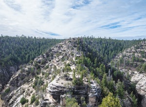
3.41 mi / 200 ft gainThe trail is a short one - stretching only a mile in length. The only semi-strenuous portion of the trail is at the beginning and end where you start by descending a set of stairs in order to reach the trail that loops around the historic cliff dwellings. Since this is a loop trail, the same set ...Read more -
Flagstaff, Arizona
Hike the Rim Trail at Walnut Canyon National Monument
4.00.7 miHike the trail starting from the visitor center and take your time walking along the rim. Be sure to admire the canyon below and the ancient dwellings in the canyon walls. During the right season, there are also beautiful wildflowers along the way. This trail is partially paved and easy to walk.Read more -
Flagstaff, Arizona
Hike and Camp at Arizona's A1 Mountain
4.76.6 miles west of downtown Flagstaff off the I-40 West is the A1 Mountain Road. Continue over the cattle guards and enter into the A1 Mountain Area—perfect for hiking, camping, and trail running.The main road is well established for a dirt road, and many of the hiking trails branch off from it. T...Read more -
Cave Creek, Arizona
Elephant Mountain Fortress Hike
5.05.5 mi / 867 ft gainThis hike beings at Spur Cross Ranch in Cave Creek, which is a lush riparian area flowing with Saguaros. Starting at the trailhead, you will start this loop by hiking clockwise on Tortuga trail which will connect with the Elephant Mountain trail at 1.5 miles. As you start to ascend the Elephant M...Read more -
Morristown, Arizona
Hiking in Hells Canyon Wilderness
Spanning 9,951 acres of backcountry a few miles northwest of Lake Pleasant and about 25 miles north of Phoenix, Hells Canyon Wilderness area offers a quick way to escape into an untamed swath of desert that’s more paradise than purgatory.I have to say, this entire trail is 36.3 miles (and is tec...Read more

