Camp Verde, Arizona
Looking for the best fitness in Camp Verde? We've got you covered with the top trails, trips, hiking, backpacking, camping and more around Camp Verde. The detailed guides, photos, and reviews are all submitted by the Outbound community.
Top Fitness Spots in and near Camp Verde
-
Sedona, Arizona
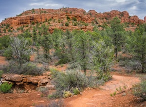
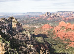
Hike the Baldwin Trail
3.3 mi / 105 ft gainAs with most areas in Sedona, you will need to have purchased a Red Rock Pass to park at the trailhead, which is located just south of Verde Valley Road. The trailhead, starting at an elevation of 3,950 feet, is well marked and the trail is defined. You have an option to either hike clockwise or ...Read more -
Sedona, Arizona
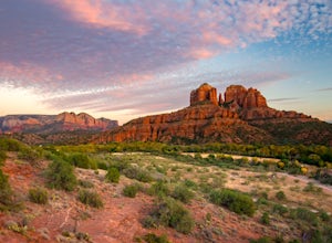
Hike or Bike Secret Slickrock Trail
5.00.8 mi / 107 ft gainWanting a short and sweet sunset or sunrise spot in Sedona away from some of the crowds? This easily accessible trail is great for people wanting picnics, a quick photography spot (we saw a couple from their wedding doing a photo shoot here), and a cool spot to watch the sun rise or set with the ...Read more -
Sedona, Arizona
Broken Arrow Trail to Chapel of the Holy Cross
4.54.91 mi / 640 ft gainThe Broken Arrow Trail is stunning. To reach the Broken Arrow Trail from the town of Sedona, head south on 179-S for approximately 1.5 miles and turn left on Morgan Road. Drive down Morgan Road until you reach the end of the asphalt and it turns into a dirt road. Drive down the dirt road approx...Read more -
Sedona, Arizona
Broken Arrow Trail to Chicken Point
4.62.79 mi / 420 ft gainStart your hike at the Broken Arrow Trailhead, just .2 miles past the end of Morgan Rd. You will be immediately greeted by Sedona slickrock trails and red rock views for days! Take a minute to sneak a peek at Devil's Dining Room Sinkhole around 0.6 miles in. It has a sign and is just of to the ri...Read more -
Sedona, Arizona
Hike Munds Mountain
6 mi / 1400 ft gainMunds Mt. is the highpoint due east of the town of Sedona, but due to its forested summit and trailhead accessibility limited to 4WD vehicles, it gets far less interest than hikes like Cathedral Rock, Wilson Mountain, or Fay Canyon yet has fantastic views of the town of Sedona and the surrounding...Read more -
Prescott, Arizona
Hike Lynx Lake
4.83.52 mi / 182 ft gainStarting at the parking lot, you will have to pay your dues prior to beginning your hike. You will immediately be met with fresh air and refreshing summer temperatures. A short decent down will lead you to the first trail marker, which the 55-acre lake becomes the centerpiece of your view. At thi...Read more -
Prescott, Arizona
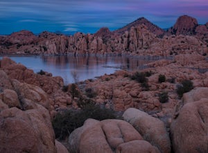
Camp at Watson Lake in Prescott
3.0Camping sites are only available in the summer months but the park is explorable year round! Watson Lake is a very unique place, in a state primarily made up of sandstone lies a lake surrounded by uniquely shaped Granite Boulders, excellent for hiking, rock climbing and photographing! Be sure to ...Read more -
Prescott, Arizona
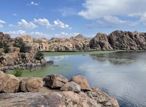
Watson Lake and Flume Trail Loop
4.63 mi / 381 ft gainThe Watson Lake and Flume Trail is a 4.5 mile loop hike that takes you next to Watson Lake near Prescott, AZ. This trail also makes for a great workout if you throw on your running shoes. Keep in mind there is no shade, so pack water and sunscreen accordingly. Thinking about getting on the wate...Read more -
Payson, Arizona
Hike the Colonel Devin Trail
4 mi / 1116 ft gainThe hike will begin at Washington Park in Payson, Arizona. To reach Washington Park, take AZ87 to Forest Road 199 (Houston Mesa Road) and turn east. Continue for 10 miles until you reach Forest Road 64 and turn west. Traveling less than a mile you will turn north on Forest Road 32 and in 3 miles ...Read more -
Payson, Arizona
Hike Barnhardt Trail
4.88 mi / 1912 ft gainTo get to the trailhead, use the turnoff of highway 87 labeled Barnhardt trail (has a marked sign coming from both Payson and Phoenix). Barnhardt road is just over 4 miles and is unpaved. The road can be driven on by lower clearance cars because the terrain is not too rocky. Once at the trailhead...Read more -
Flagstaff, Arizona
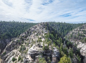
Hike the Island Trail, Walnut Canyon
3.41 mi / 200 ft gainThe trail is a short one - stretching only a mile in length. The only semi-strenuous portion of the trail is at the beginning and end where you start by descending a set of stairs in order to reach the trail that loops around the historic cliff dwellings. Since this is a loop trail, the same set ...Read more -
Flagstaff, Arizona
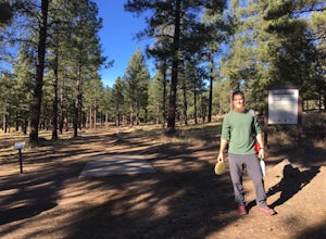
Frisbee Golf at McPherson's
1 miMcPherson's is a public disk golf course five minutes north of downtown Flagstaff. The course is seasonally open from May - November. There are no tee times, and it is free to play. A somewhat tightly wooded 18-hole course with multiple pin placements makes this fun for beginners and a challenge...Read more -
Flagstaff, Arizona
Hike Fatman's Loop
5.02.5 mi / 690 ft gainSitting on the eastern slope of Mt Elden is a super fun multi-use trail called Fatman's Loop. It's a perfect spot for hiking, trail running, day strolling, or walking the pup. All the while, treating you to glimpses of the eastern suburbs of Flagstaff, beautiful wild flowers, and cool rock format...Read more

