Alberta
Looking for the best photography in Alberta? We've got you covered with the top trails, trips, hiking, backpacking, camping and more around Alberta. The detailed guides, photos, and reviews are all submitted by the Outbound community.
Top Photography Spots in and near Alberta
-
Jasper, Alberta
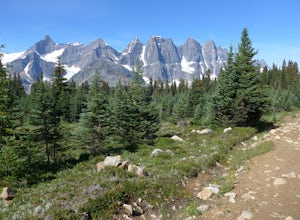
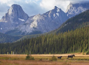
Backpack the Tonquin Valley
5.043.5 mi / 1640.4 ft gainThe Tonquin Valley is well known for its strong grizzly bear population. If you plan on tackling this hike check bear warnings prior to leaving and always keep a can of bear spray easily accessible.It also is recommended that hikers wait till late summer or early autumn to complete this hike. Ear...Read more -
Bighorn No. 8, Alberta
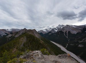
Summit Door Jamb Mountain and Loder Peak
4.0If you're looking for views, vistas, and great scrambles in the Rockies, this is a great place to start. For any geology enthusiast, furthermore, this hike cannot be missed, offering great opportunities to search for some seriously ancient fossils.The trail begins on the west side of the parking ...Read more -
Improvement District No. 9, Alberta
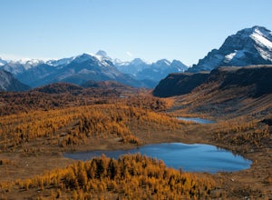
Hike to Healy Pass
7.5 mi / 2198.2 ft gainHead up to Healy Pass in late September or early October to check out the beautiful larch trees in their golden glory. Sunshine Meadows, Assiniboine, and other amazing views can be seen from the top of this easy trail. Start your adventure in the Sunshine Village ski resort parking lot. Head behi...Read more -
Kananaskis, Alberta
Hike to Little Arethusa
2.8 mi / 2034.1 ft gainUnfortunately, pictures of larches in autumn never actually do them justice. It's worth it to go out and experience them for yourself. This hike is pretty scenic for the short distance it is, but my favourite part is that you get to be up close and personal with the larches as the forest is bathe...Read more -
Jasper, Alberta
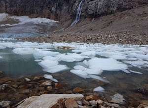
Hike the Path of the Angel Glacier Loop Trail
1.2 mi / 328.1 ft gainyou start the loop by climbing the small set of stairs from the parking lot to the memorial for nurse Edith Cavell. Ahead of you the trail has many options, leading down to the flood plains, or up to the lake viewing area. This viewing platform provides you with a elevated view of the glacial lak...Read more -
Turner Valley, Alberta
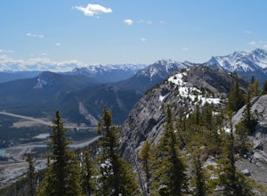
Hike to the Top of the Wasootch Ridge
4.08.7 mi / 3280 ft gainThe start to this hike is located about 45 minutes west of Calgary and about the same East of Banff. Off the Trans Canada Highway take the highway 40 exit into Kananaskis and continue until you reach the Wasootch Creek area. There is ample parking, however during spring and summer months it can b...Read more -
Kananaskis, Alberta
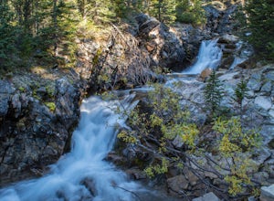
Hiking to Karst Spring in Kananaskis Country
4.5Every year, over 5 million visitors make their way through Banff National Park to soak in the surrounding peaks, bountiful wildlife, and turquoise-colored lakes. With this many visitors, it's hard to find yourself alone, especially during the peak seasons of summer and fall. Right next door to Ba...Read more -
Improvement District No. 12, Alberta
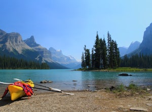
Kayak to Spirit Island in the Canadian Rockies
4.5You'll find Spirit Island in the heart of Canada's Jasper National Park. It is located in the middle of Maligne Lake, a narrow body of water that features sweeping views of the Rockies and lush forest all around. Many visitors take the short ferry ride to Spirit Island, but that only allows for b...Read more -
Kananaskis, Alberta
Exploring Burstall Pass
5.0Head to the northwest corner of the parking lot to find the trail. For the first 5.5 km the trail is quite easy, with only modest elevation increase. At 5.5 km you will arrive at what is known as the gravel flats. Depending on the time of year the gravel flats can be either quite dry or a wide, s...Read more -
Kananaskis, Alberta
Hike from Headwall Lakes to Chester Lake
5.010.6 mi / 2650.9 ft gainThe hike starts at the Chester Lake trailhead along the Smith Dorian road in Kananaskis. The first few kilometers follow the old logging roads, now used as cross country skiing trails. Find the beginning of the trail at the upper right end of the parking lot, and continue to follow parallel to t...Read more -
Turner Valley, Alberta
Scramble up to Wasootch Peak
Wasootch Peak is for people who's inner scrambler is screaming to push on when they're on Wasootch Ridge. This description will be focusing on the trail to the summit from the main cairn on Wasootch Ridge. For an excellent description on how to get to that cairn, check out Hike to the Top of Waso...Read more -
Improvement District No. 9, Alberta
Scramble up Mount Niblock
5.09.3 mi / 4068.2 ft gainThousands of tourists flock to Lake Louise and Lake Agnes every year (maybe even every month) and by scrambling Mount Niblock you'll see the same magnificent sites while leaving the crowd behind and seeing so much more!Mount Niblock offers a bit of a challenge in that there are some rock ribs tha...Read more -
Clearwater County, Alberta
Night Photography at Windy Point
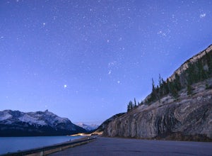
4.0On the side of Highway 11 (The David Thompson Highway) approximately 36km southwest of Nordegg, windy point area offers the perfect view for taking pictures at night. There's a good chance you'll be one of the only people out there with the same idea. Right next to Abraham lake and surrounded b...Read more -
Lake Louise, Alberta
Hike Fairview Mountain
7.1 mi / 3280.8 ft gainFairview Mountain is a non-technical objective alpine summit located on the south side of Lake Louise. It's trailhead is accessed from the Lake Louise parking lot. The trail is well established and well marked throughout. You can expect a distance of about 11km return and elevation gain of 1000m,...Read more -
Improvement District No. 9, Alberta
Bike the Icefields Parkway
The Icefields Parkway is a spectacular highway to ride (you can see the short video here). The shoulders are wide and well paved. Drivers are typically courteous, slowing down and giving you space as they pass, making the ride a great deal more enjoyable. Starting in Jasper you load up your bike,...Read more -
Kananaskis, Alberta
Hiking Burstall Pass
5.09.3 mi / 1542 ft gainThe trail begins along the berm beside Mud Lake. After a rather uninspiring 3 km (you can mountain bike this part) the trail narrows and enters trees where tangled roots twist across the path and you breathe in the smells of damp earth and moss.Ten minutes later the trail spits you across a spl...Read more

