Alberta
Looking for the best photography in Alberta? We've got you covered with the top trails, trips, hiking, backpacking, camping and more around Alberta. The detailed guides, photos, and reviews are all submitted by the Outbound community.
Top Photography Spots in and near Alberta
-
Sawback, Alberta
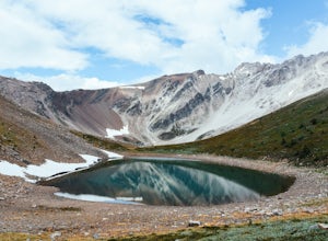
Hike to Bourgeau Lake and Harvey Pass
5.012.5 mi / 3360 ft gainThe trailhead for Bourgeau Lake/Harvey Pass is on the west side of Trans-Canada Highway approximately 5 miles west of Banff. The turn-off is approximately 0.9 miles past the Sunshine Village Ski Resort exit. There is a small parking lot and a restroom at the trailhead. Enter through the gate to...Read more -
Bighorn No. 8, Alberta
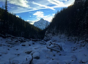
Icewalk in Grotto Canyon
3.5To get to the trailhead, take Highway 1 and take the Seebe exit (Highway 1X). Continue north on Highway 1X and take a left at Highway 1A. A few kilometres after the town of Exshaw, turn into the parking lot marked by the Grotto Pond sign.The trailhead is well marked and follow the trail until the...Read more -
Improvement District No. 9, Alberta
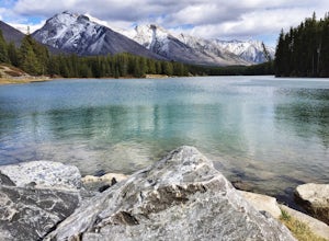
Hike to the Hermit of Inglismaldie
4.02 mi / 34 ft gainAs you drive towards Johnson Lake, the road will end at a parking lot where you should park. There are restrooms and picnic tables located in this same area. Due to the low elevation, the trail around Johnson Lake is a gentle walk, but trail conditions should always be checked especially during ...Read more -
Banff, Alberta
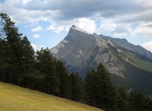
Take in the View at the Mount Norquay Green Spot
3.5The "Green Spot" is a beautiful grassy slope that opens up to sweeping views of downtown Banff and the surrounding area. It's a great spot for photography, especially capturing the peak of Mt. Rundle. There's also a set of chairs conveniently placed on the slope so you can kick back and enjoy t...Read more -
Grande Prairie County No. 1, Alberta
Exploring Red Willow Falls
4.5Red Willow Falls is a waterfall on the Red Willow River near the Alberta/British Columbia border. There are no signs for directions and it’s located down several oil & gas dirt roads.To get to the falls, from Elmworth drive west on secondary Hwy 722, then turn left on Range Road 121, then rig...Read more -
Kananaskis, Alberta
Hike Mount Indefatigable
4.5If you choose to do this hike, you'll find yourself at Kananaskis Lakes, one of my favourite spots in K-Country! Park your car at the Interlakes parking lot, have that one last bathroom break, and make your way north to get to the trailhead. The trailhead is impossible to miss as it's blocked off...Read more -
Kananaskis, Alberta
Ribbon Falls
3.812.4 mi / 1148.3 ft gainRibbon Creek trail is accessible via Highway 40 at the turn off for Nakiska Mountain Resort. From there take a left at Centennial Drive and then a right onto Ribbon Creek Road. The hike begins at the far end of the Ribbon Creek Trailhead parking lot. There is an old coal mining cart at the start...Read more -
Bragg Creek, Alberta
Winter Hike Up Vent's Ridge
Whether it was the unseasonably warm weather; the forested, uneven, foot-wide, root-covered trail; limestone cliffs towering above me; the view of Myosotis Peak from the ridge; or exploring along Powderface Creek on the descent, this trail was an absolute blast.If you do this hike in February lik...Read more -
Kananaskis, Alberta
Hike Opal Ridge's South Summit
5.0Opal Ridge is located on the East side of highway 40 in Kananaskis.The trailhead starts at Fortress Gas Station. Park at the North end of the parking lot. The trailhead is easy to spot from here. Follow the creek a couple hundred meters till you reach an open area with power lines. Turn left. Con...Read more -
Jasper, Alberta
Hike the Cavell Meadows Trail
5.05.3 mi / 1500 ft gainJasper National Park is an outdoor wonderland filled with vibrant glacial waters and an abundance of wildlife. My favorite hike to experience the beauty of this park is the Cavell Meadows trail. At approximately 5.3 miles, the hike takes between 3-4 hours round trip so it's the perfect way to st...Read more -
Kananaskis, Alberta
Hike Centennial Ridge
9.9 mi / 4592 ft gainThis hike can be done as a full traverse, starting at the Ribbon Creek Trailhead and taking you to Dead Man's Flats, just off of the Trans Canada Highway. Starting at the trailhead in the Ribbon Creek parking lot, go north on Hidden Trail. You will be on this trail for ~ 200 m before you need to ...Read more -
Kananaskis, Alberta
Hike up Windtower Mountain
5.06.2 mi / 3182.4 ft gainSpray Lakes is one of my favorite areas in Kananaskis, and the view of Spray Lakes from the summit is absolutely breathtaking.The trailhead is located along the Smith-Dorrien Trail (Spray Lakes Road) – look for a yellow sign on the eastern side of the road, about 1 mile (1.5 km) south of the Drif...Read more -
Improvement District No. 9, Alberta
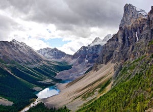
Scramble the Tower of Babel
4.01.94 mi / 1726 ft gainStarting at the Moraine Lake parking lot follow the trail East along behind the large pile of boulders along the lake shore. Once you reach the foot of the Tower of Babel scramble up the slope to heading towards the valley between the two peaks. The easiest route is along one of the cliff faces w...Read more -
Wembley, Alberta
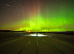
Watch the Northern Lights at Saskatoon Island
Interested in watching the northern lights (aurora borealis) dance across the sky only minutes from Grande Prairie? Optimal viewing is from September through April, when solar activity is at its highest.Saskatoon Island Provincial Park, located 25 km west of Grande Prairie on Hwy 43, is the idea...Read more -
Jasper, Alberta
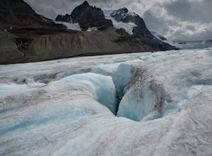
Hike along the Athabasca Glacier
4.73 mi / 700 ft gainThis is not an advertisement for the guided tour, but you will see so much more of the glacier than if you do a bus tour or just visit the roped off visitor area. Do you research and you can find a company that will take you up onto the glacier safely. It was amazing looking into the crevasses an...Read more -
Kananaskis, Alberta
Hike up Galatea Creek to Lillian Lake
Located on Highway 40 (Kananaskis Trail) and marked by the "Galatea" sign, there's not much more to this hike other than putting one foot in front of the other, but the amount of traffic it sees is a testament to the quality of this hike.Even on the backend of winter the numerous shades of green ...Read more

